Indonesia journey 2
Below is my second journey in August/September 2019
Back to my roots…
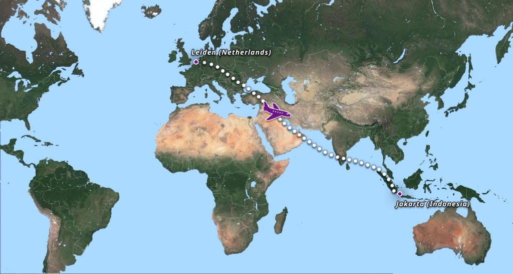
2019: the journey continues…
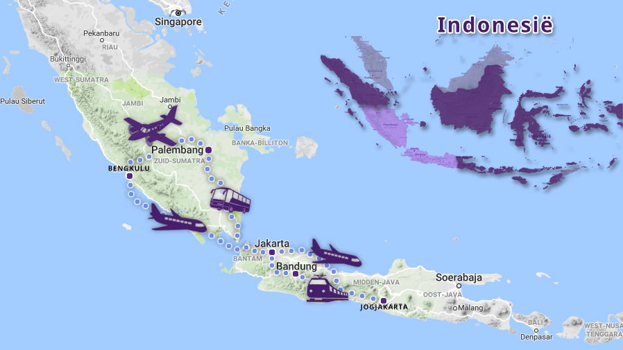
Jakarta
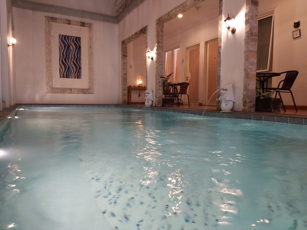
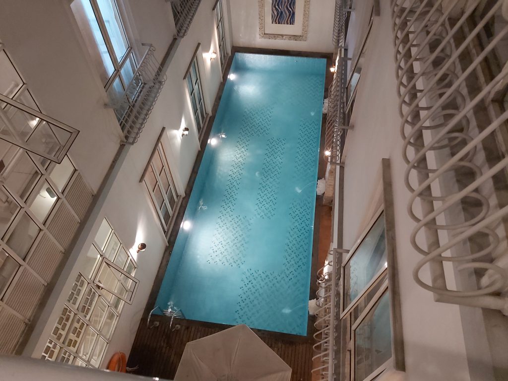
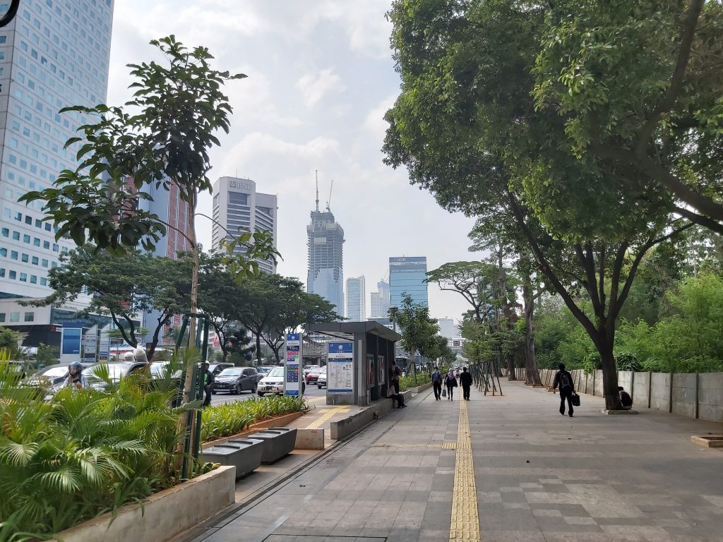
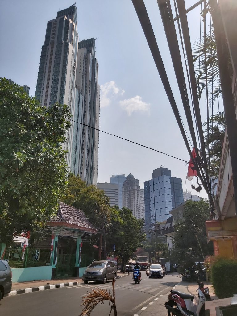
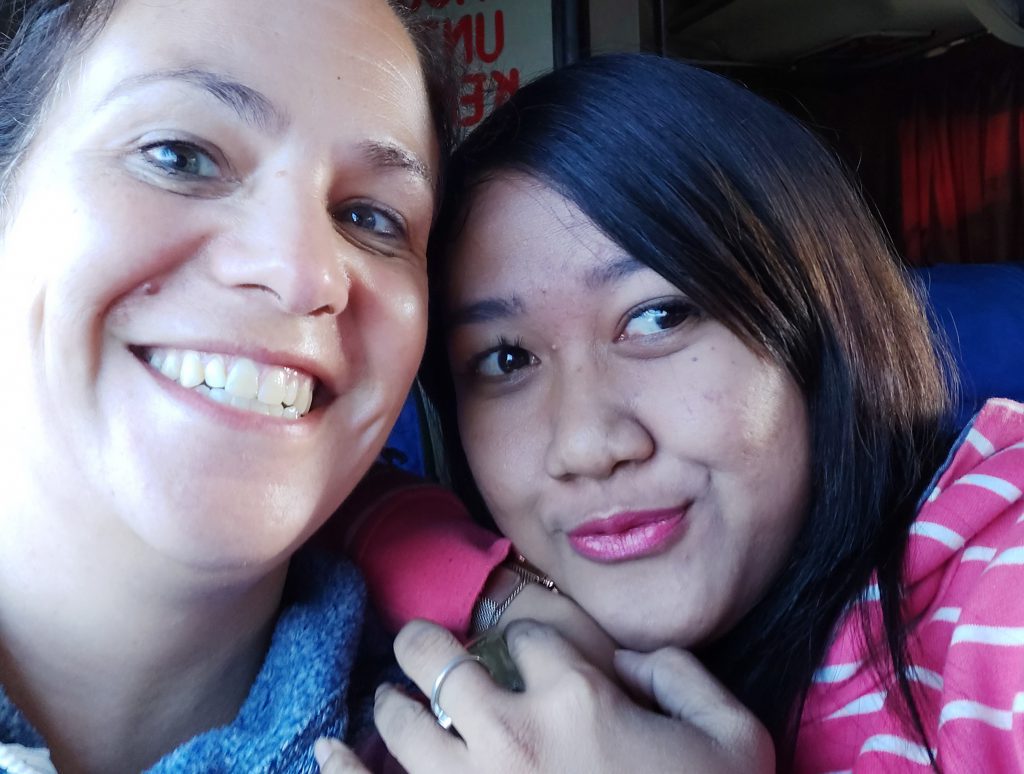
In 2019 I’ve started my journey to my roots again in Jakarta. This time in a hotel (with swimming pool) near stasiun Sudirman in the south of Jakarta. Last year I forgot to visit stasiun Jakartakota (the old Batavia station). I’ve also visited a themepark at pantai Ancol (Ancol beach), the old harbor Sunda Kelapa and Glodok (Chinatown). In the mean time I’ve learned the language a bit with an app, so it’s a bit easier to communicate with people.

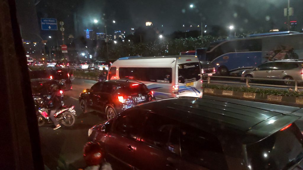
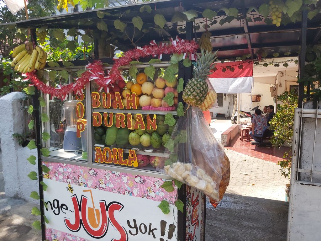
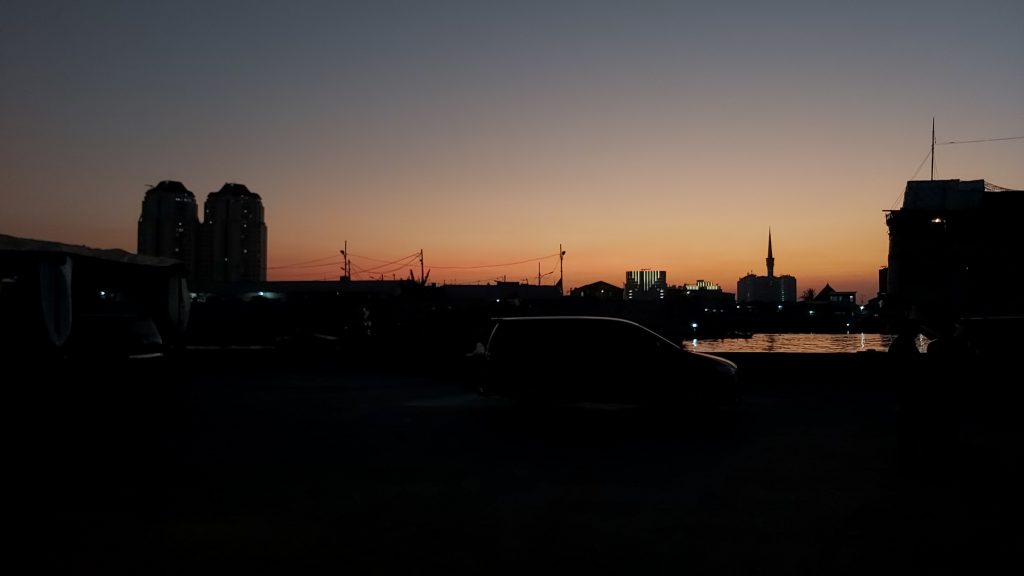
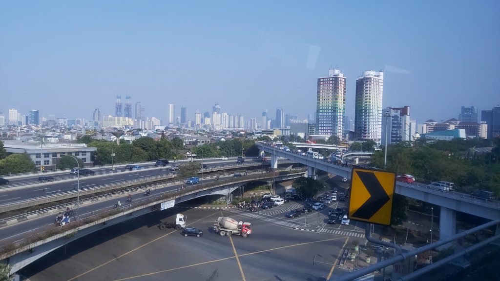
traffic jam from the airport to the city the area near my hotel Durians for sale Rice packages
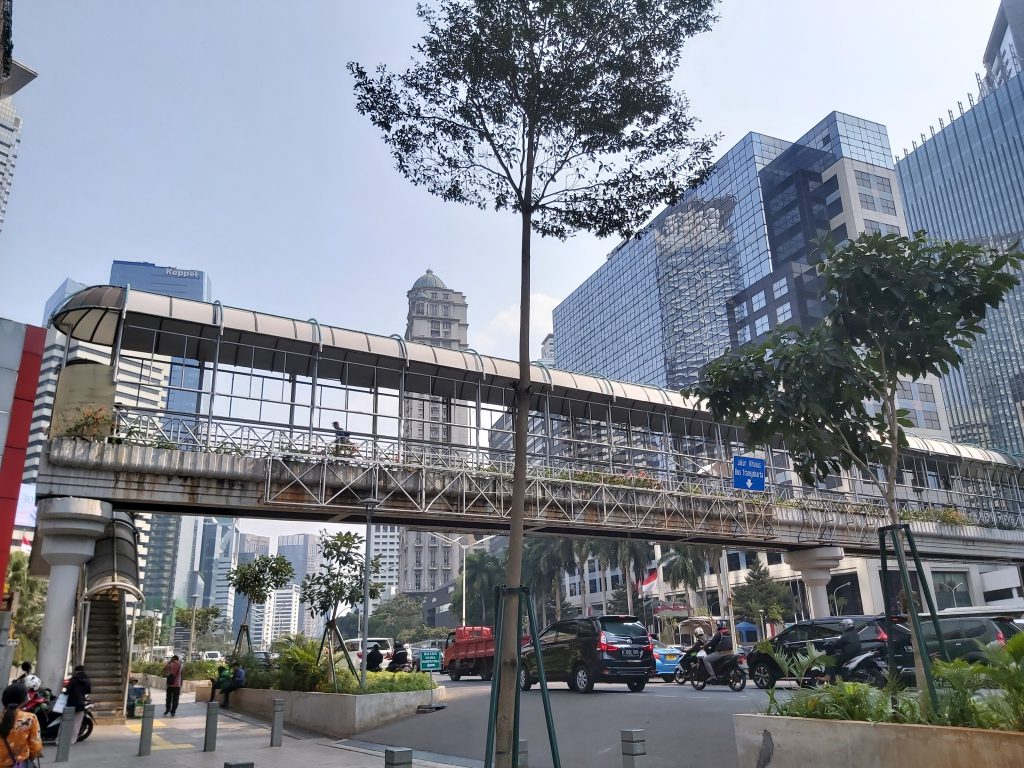
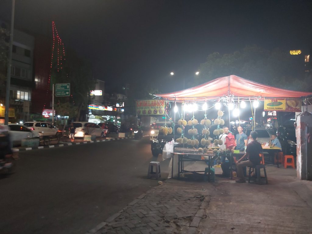
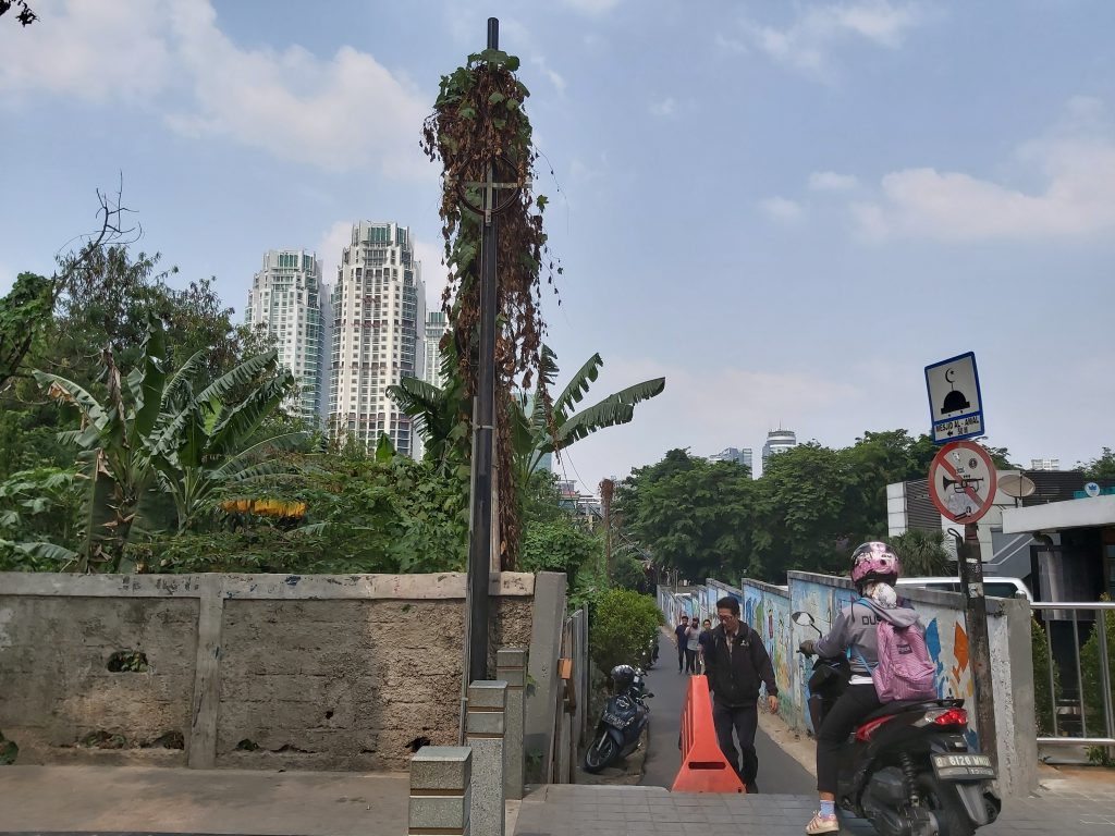
Area near stasiun Sudirman
This area south of Gambir is where I stayed at a nice hotel with a swimmingpool :).
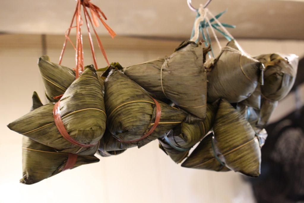
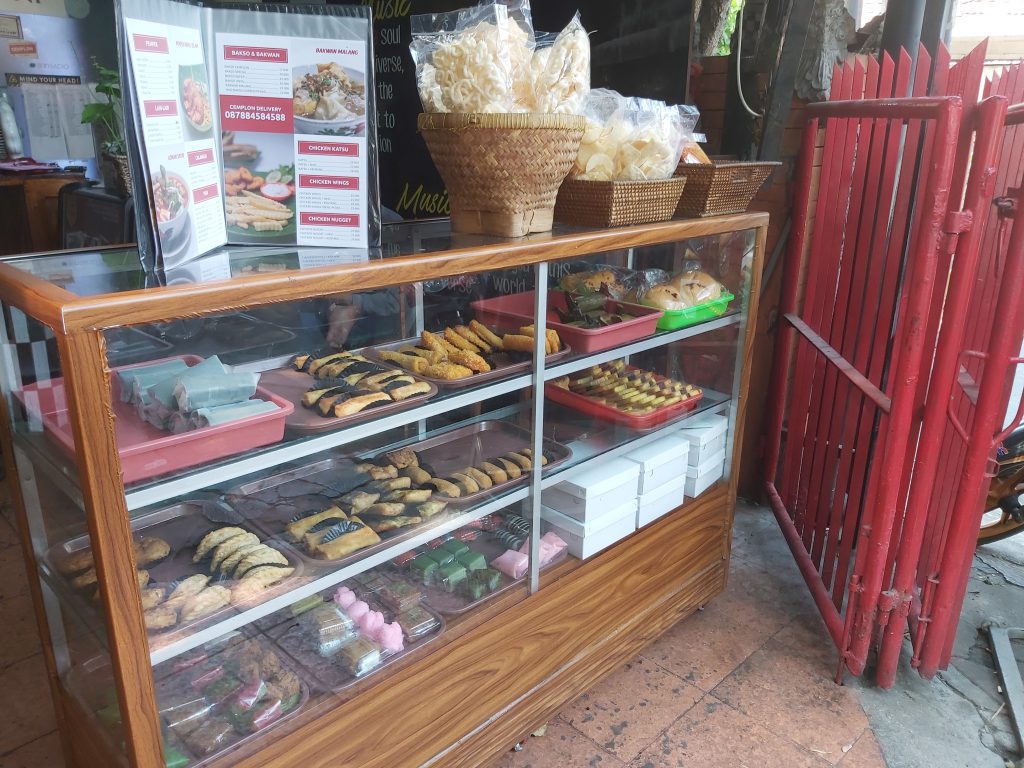
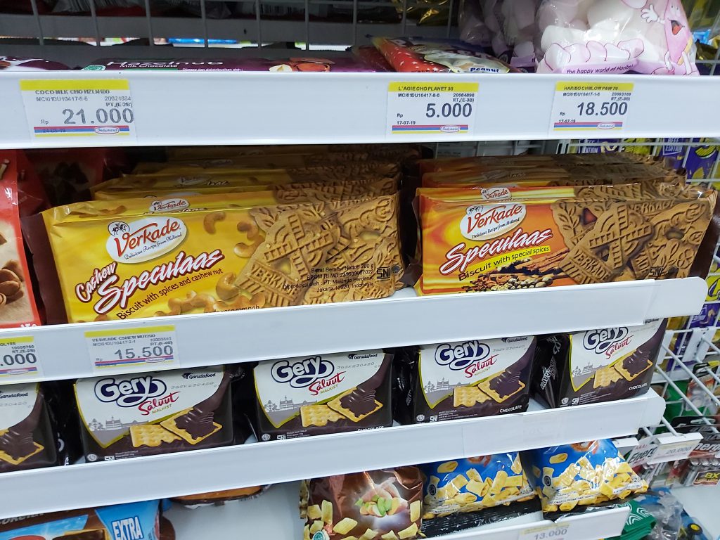
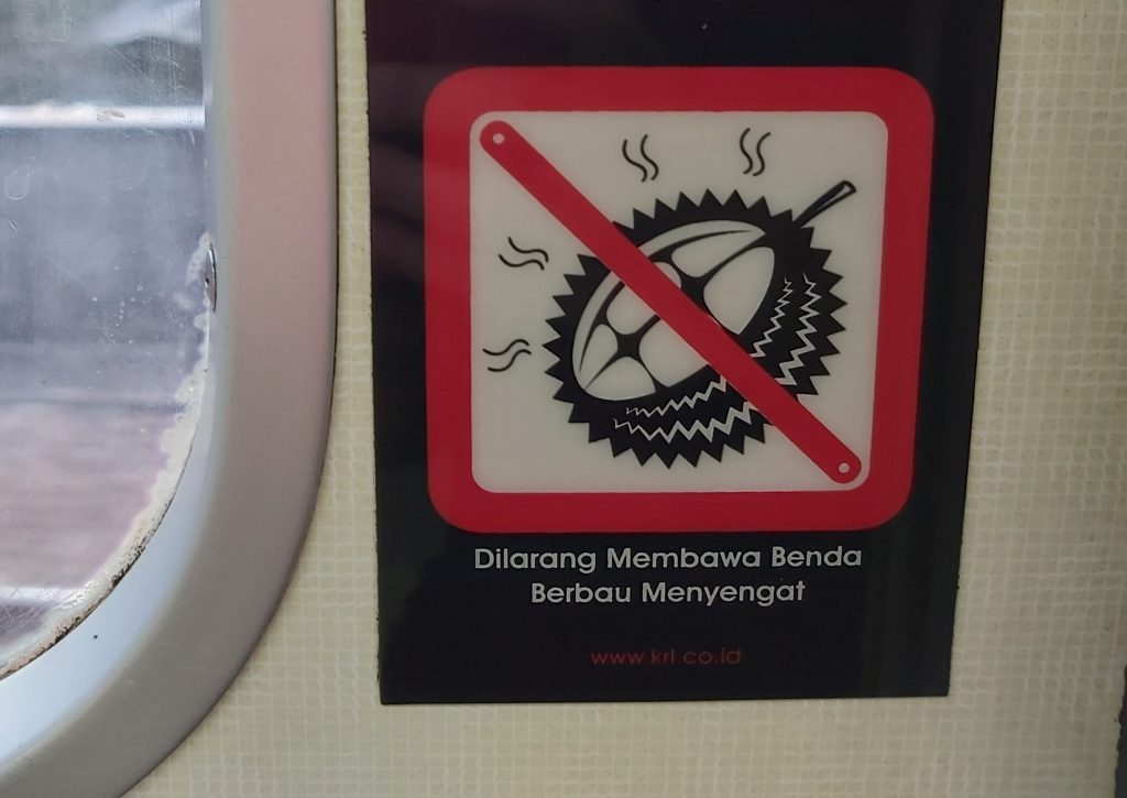
walking through the area Indomaret fresh fruit juices everywhere Delicious snacks Speculaas with indonesian spices Forbidden for smelly things
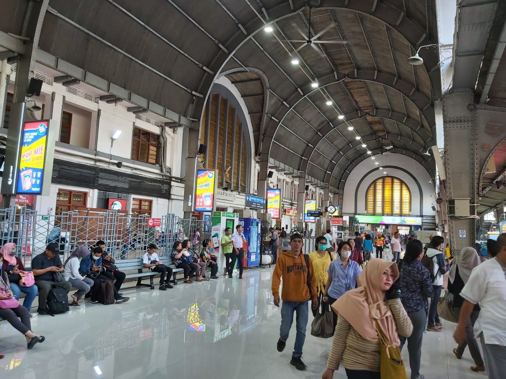
Stasiun Jakartakota (old Batavia station)
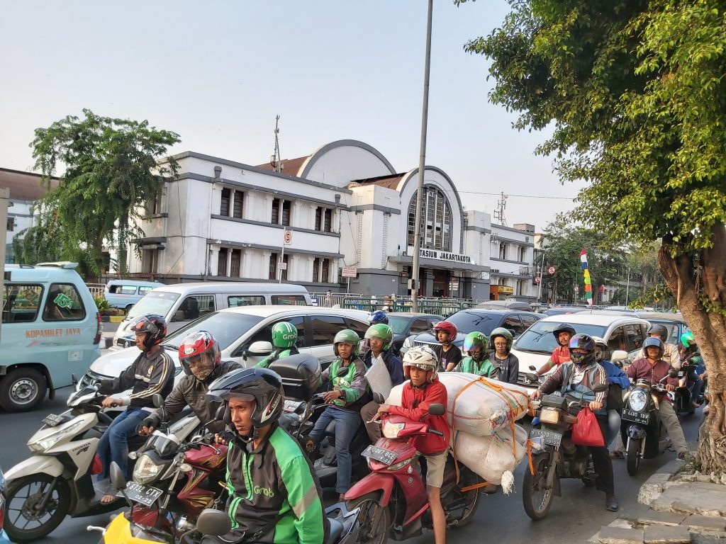
Stasiun Jakartakota I had to jump near stasiun Jakartakota
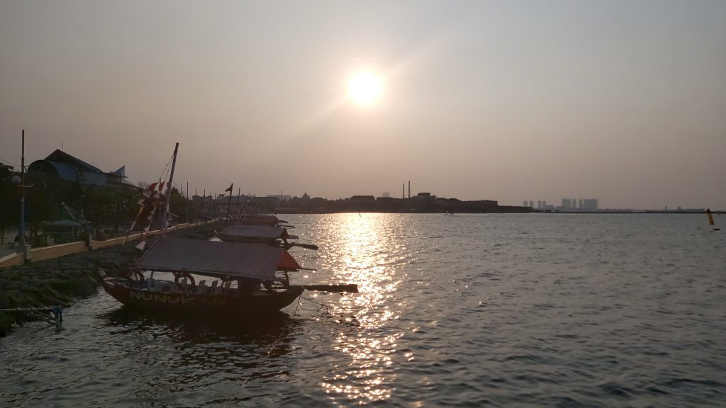
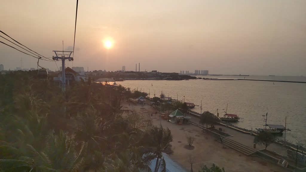
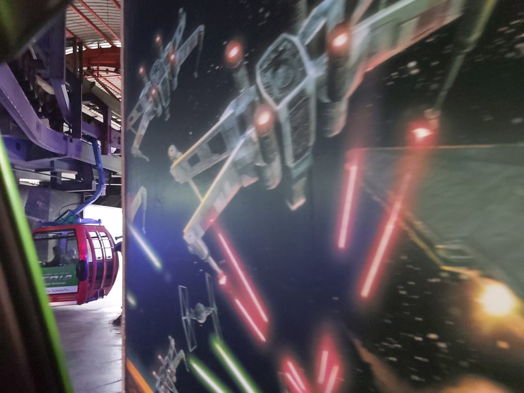
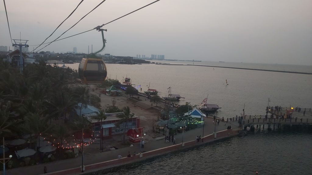
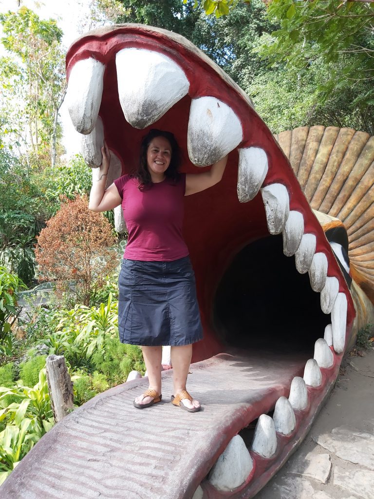
Pantai Ancol
Pantai Ancol The gondola
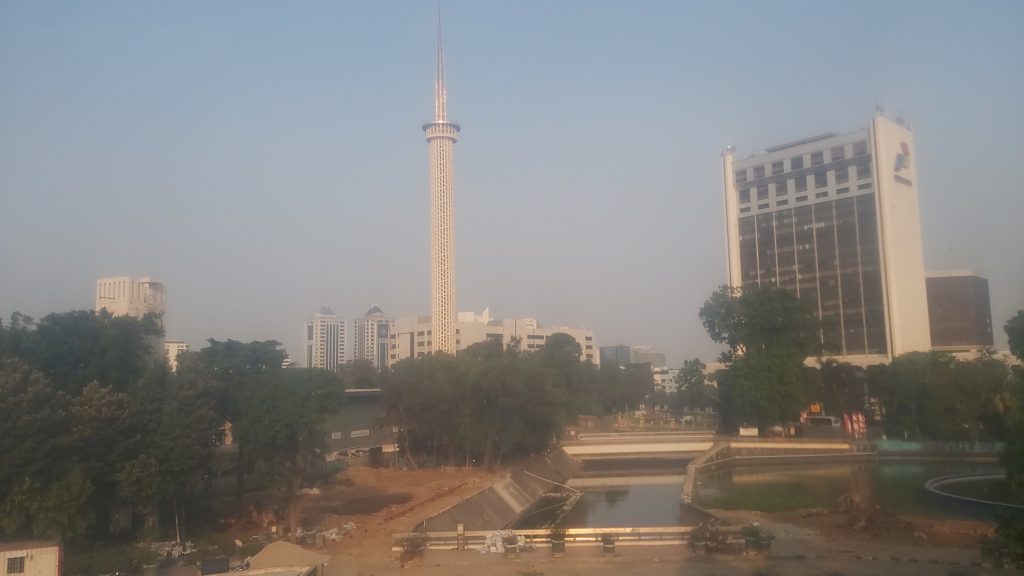
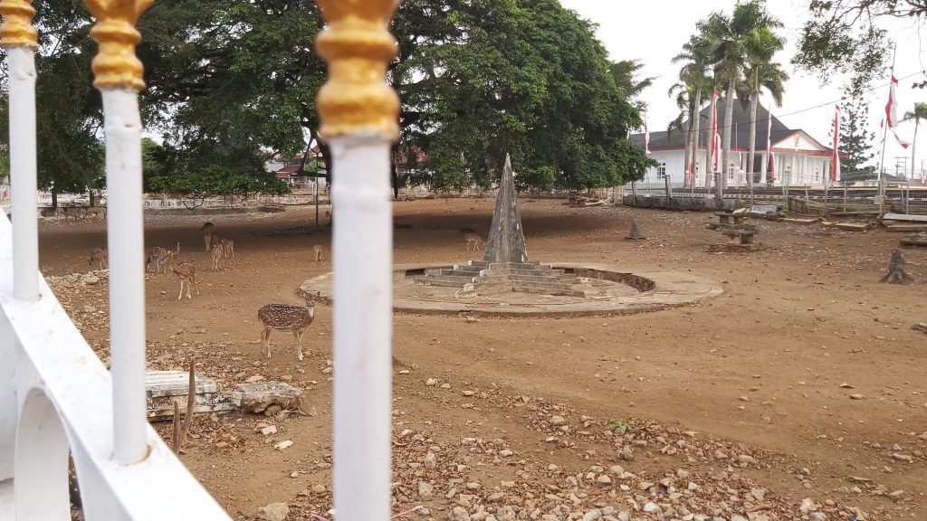
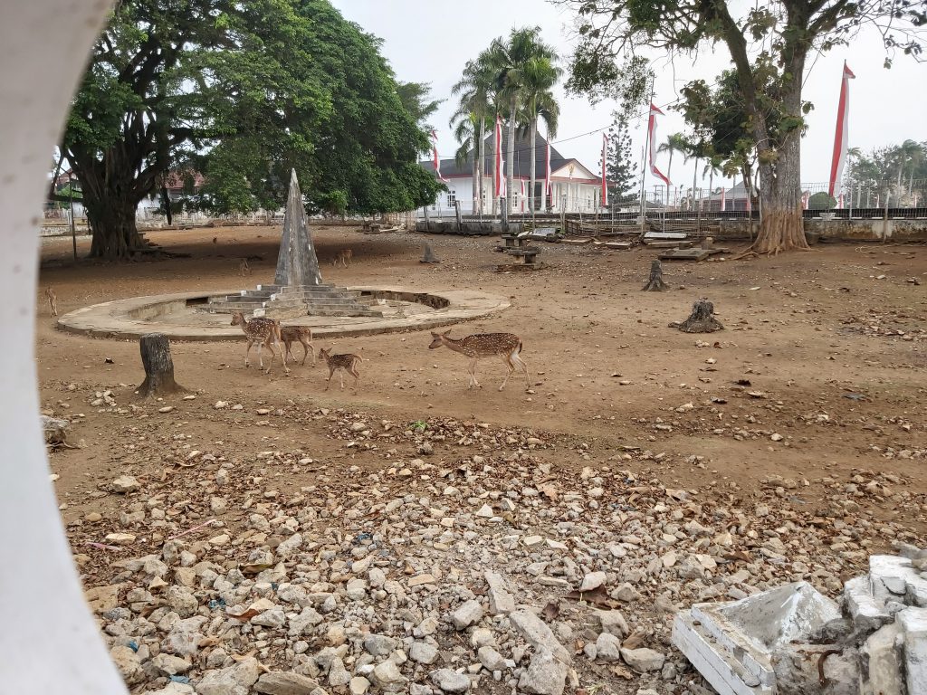
Gambir and Monas
Gambir Station is a major railway station on the east side of suqare Medan Merdeka. This square used to be called Koningsplein. Gambir was probably named after the French-Dutch luitenant named Gambier. The railway station has had many names before: Halte Koningsplein (from 1871 to 1884), Station Weltevreden (until 1937) and Station Batavia-Koningsplein ( until the Indonesian Independance war). My grandparents, mother and uncle used to live near this station and square on the north east.
Gambir, view from the train
The Monas
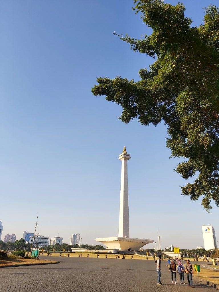
The Monumen Nasional (short: Monas) is a 137 meter high tower with a flame on the top covered in gold, It symbolizes the fight for independance of Indonesia and is situated on Medan Merdeka, the former Koningsplein. The construction began in 1961 under the reign of Soekarno and was finished in 1975 under the reign of Soeharto.
Visitors can take the elevator to the top and have a nice view on Medan Merdeka Park, Istiqlal Moskee and the city. Underneath the monument is a exposition about the independance war and the history of Indonesia.
West Irian Liberation Monument on Medan Merdeka
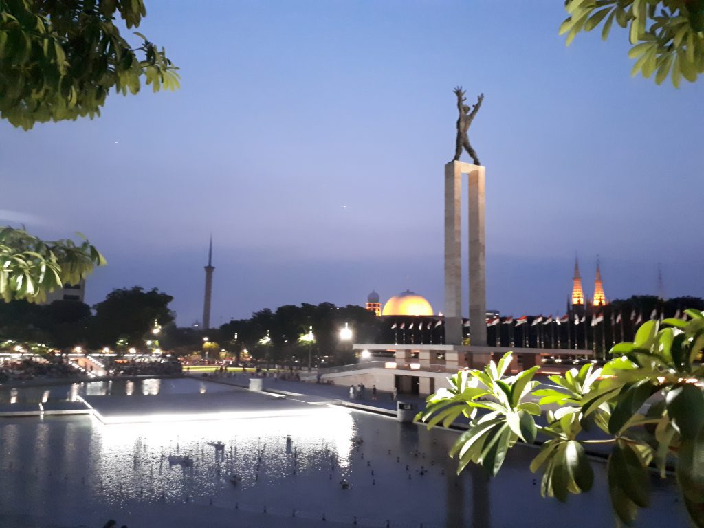
The West Irian Liberation Monument or Irian Jaya Liberation Monument (Indonesian Monumen Patung Pembebasan Irian Jaya) is also situated on Medan Merdeka. It is located in the center of Lapangan Banteng (former Waterloo plein), facing west towards the St. Ursula Catholic School (where my grandmother was a teacher) across the road from the park.
On top of the monument, stands a bronze, bare chested wild-haired man breaking free from his shackles with his arms and legs widely spread. The face holds a loud, screaming expression, symbolizing rebellion and independence. All the people I met (everywhere in Indonesia) told me this was a symbol of the liberation of the Japanese occupation, but maybe they were just being polite to me. Everybody also says we are all brothers now and I totally agree with that.
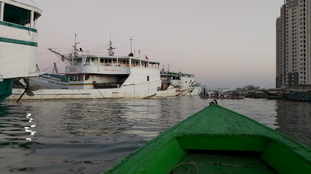
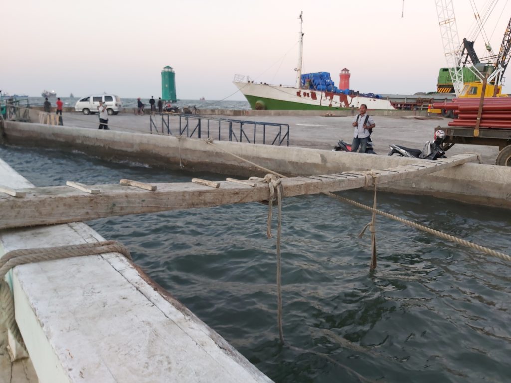
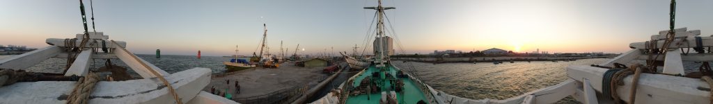
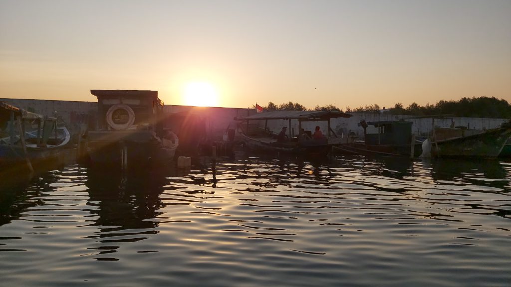
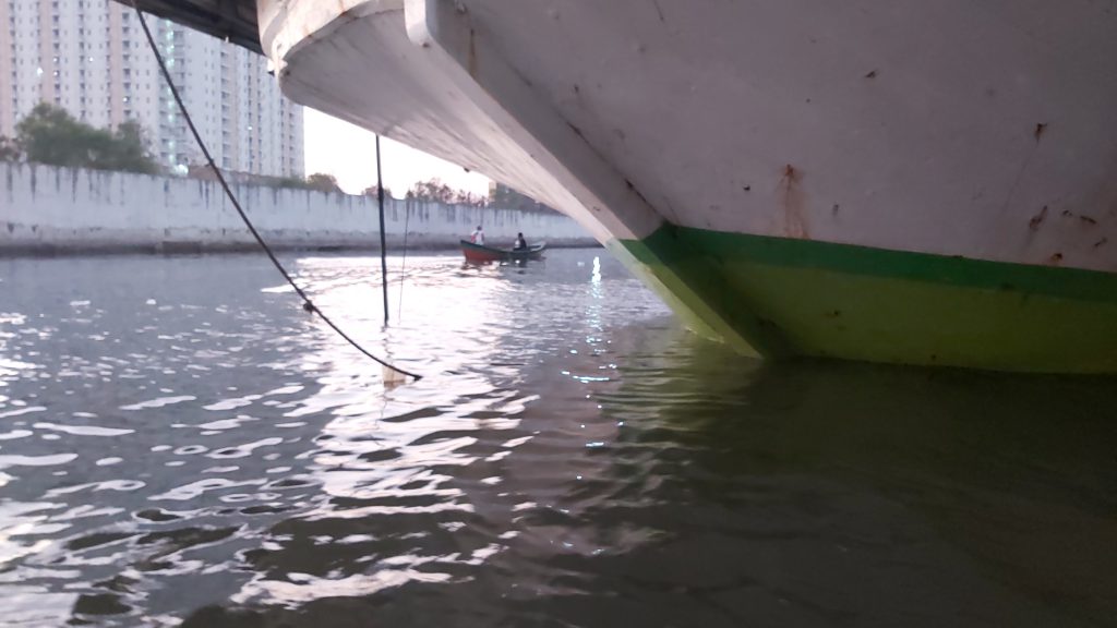
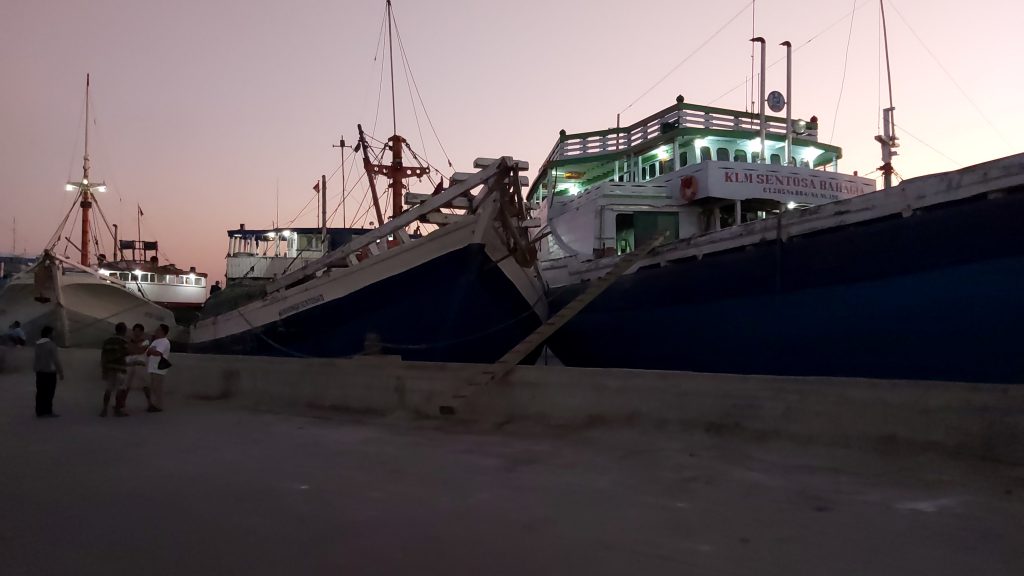
Sunda Kelapa (Portuguese Harbor)
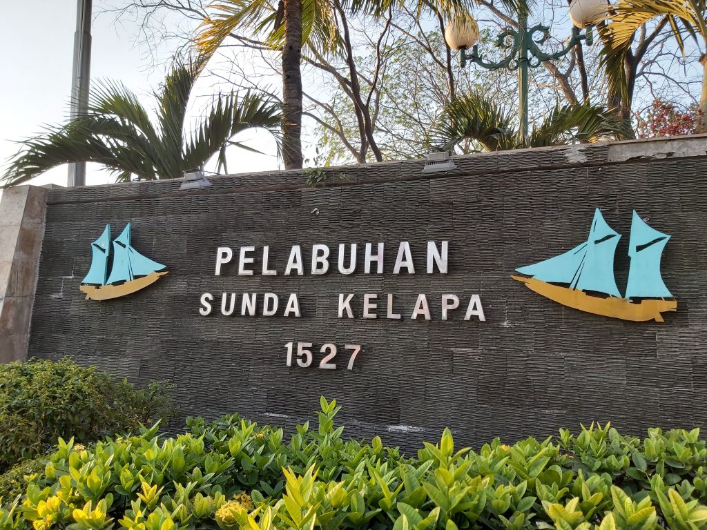
Sunda Kelapa is the old port of Jakarta located on the estuarine of Ciliwung River. “Sunda Kalapa” (Sundanese: “Coconut of Sunda”) is the original name, and it was the main port of Hindu Sunda Kingdom of Pajajaran. Today the old port only accommodate pinisi, a traditional two masted wooden sailing ship serving inter-island freight service in the archipelago. Although it is now only a minor port, Jakarta has its origins in Sunda Kelapa and it played a significant role in the city’s development. The port is currently operated by the state-owned Indonesia Port Corporations.
Hindu-Buddhist period
According to the Chinese source, Chu-fan-chi, written circa 1200, Chou Ju-kua identified the two most powerful and richest kingdoms in the Indonesian archipelago as Sriwijaya and Java (Kediri). In the early 13th Century, Sriwijaya still ruled Sumatra, the Malay peninsula, and western Java (Sunda). The port was a strategic and thriving, pepper from Sunda being among the best in quality. But it probably referred to the port of Banten, and not Kalapa.
From the 13th to 16th century Sunda Kelapa was the main port of Sunda Kingdom. The port served the capital, Pakuan Pajajaran, located about 60 km inland south, now the site of modern Bogor. The port thrived on the international spice trade especially pepper, the main spice produce of the Sunda kingdom. Sunda Kelapa, together with Aceh and Makassar, were one of the few Indonesian ports that maintained ties with Europe.
The Portuguese
By 1511, the Portuguese had conquered Malacca and established the earliest European colony in Southeast Asia. According to Suma Oriental, written in 1512–1515, Tomé Pires, a Portuguese explorer reported about the importance of the port of Calapa which corresponds to the port of Sunda Kalapa.
In 1522, the Portuguese secured a politics and economic agreement with the Hindu Kingdom of Sunda, the authority of the port. In exchange for military assistance against the threat of the rising Islamic Javan Sultanate of Demak, Prabu Surawisesa, king of Sunda at that time, granted them free access to the pepper trade. Portuguese who were in the service of the sovereign, made their homes in Sunda Kelapa.
However, in 1527, Fatahillah, on behalf of the Demak attacked the Portuguese in Sunda Kelapa and succeeded in conquering the harbour on 22 June 1527, after which Sunda Kelapa was renamed Jayakarta. Later, the port became a part of the Banten Sultanate.
The VOC
In 1619, Jan Pieterszoon Coen, an official working for the Dutch East India Company, seized the port of Jayakarta from the Sultanate of Banten and founded Batavia. During the early period of VOC, the port was mainly used by small ships which were able to sail into the canal and toward the Kali Besar, where goods were loaded and ships were repaired in shipyards i.e. the VOC and the Chinese shipyards located opposite of the Batavia Castle. Larger ships were difficult to enter the port due to its narrow width as well as the shallow water, so these had to anchor out at sea.
Modern colonialism
During the 19th-century, the port was known as the Haven Kanaal (“Harbor Canal”). Being the only entrance to Batavia, it earned the nickname “Roads of Batavia” or “Batavia’s Roadstead”. The port was still a narrow canaled harbor, so large vessels still had to anchor their ships further north. Smaller ships, known as “lighters”, were used to transport cargo and passengers to the port. The lighters were described as a very small and very shallow iron steamship, which replaced the earlier large rowing boats. The condition of the Haven Kanaal during the period was deteriorating and performed below the accepted standards, which was similar with the condition of the Old Town at that time. The whole process of carrying passengers and cargo were time-consuming and could be dangerous during stormy weather. Accidents e.g. collision between ships with moored junks were recorded.
In 1885, the Netherlands East Indies government decided to build a new Tanjung Priok port to accommodate the increasing traffic as a result of the opening of the Suez Canal. The new port is located 9 kilometers to the east from the old port.
Post-independence
After the independence of the Republic of Indonesia, the Batavia old port was renamed back to its original name, Sunda Kelapa, as a tribute to the long history of the port as the cradle of Jakarta.
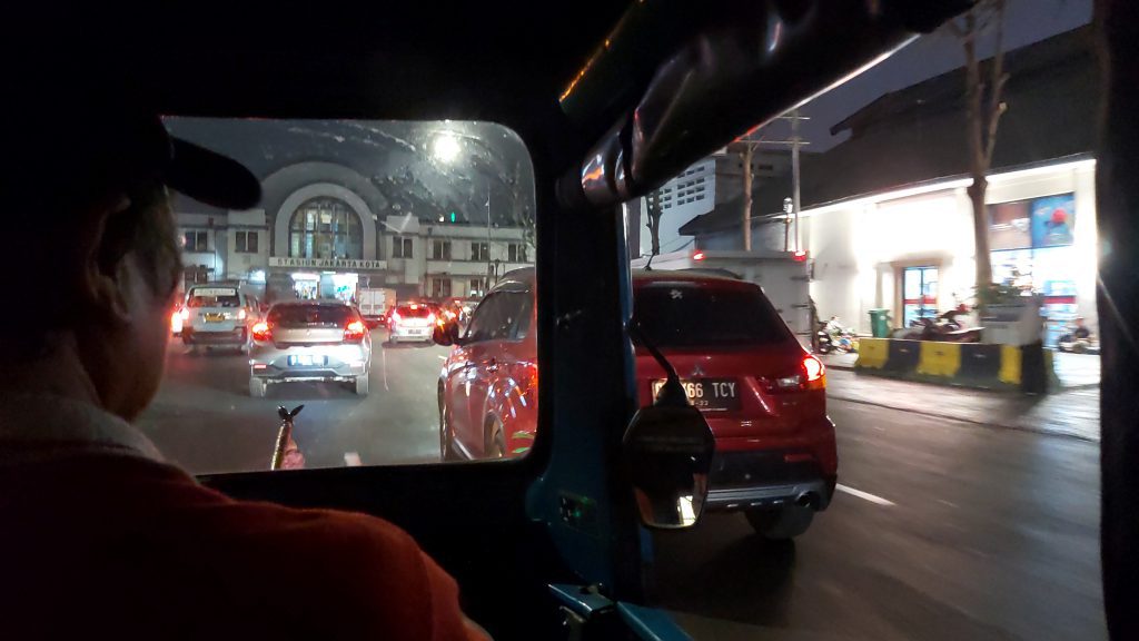
From the harbour we took the tuk-tuk to Gloduk, passing by Gambir and Stasiun Jakartakota.
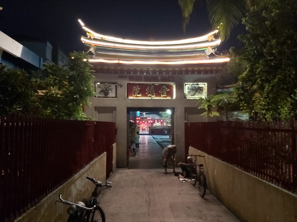
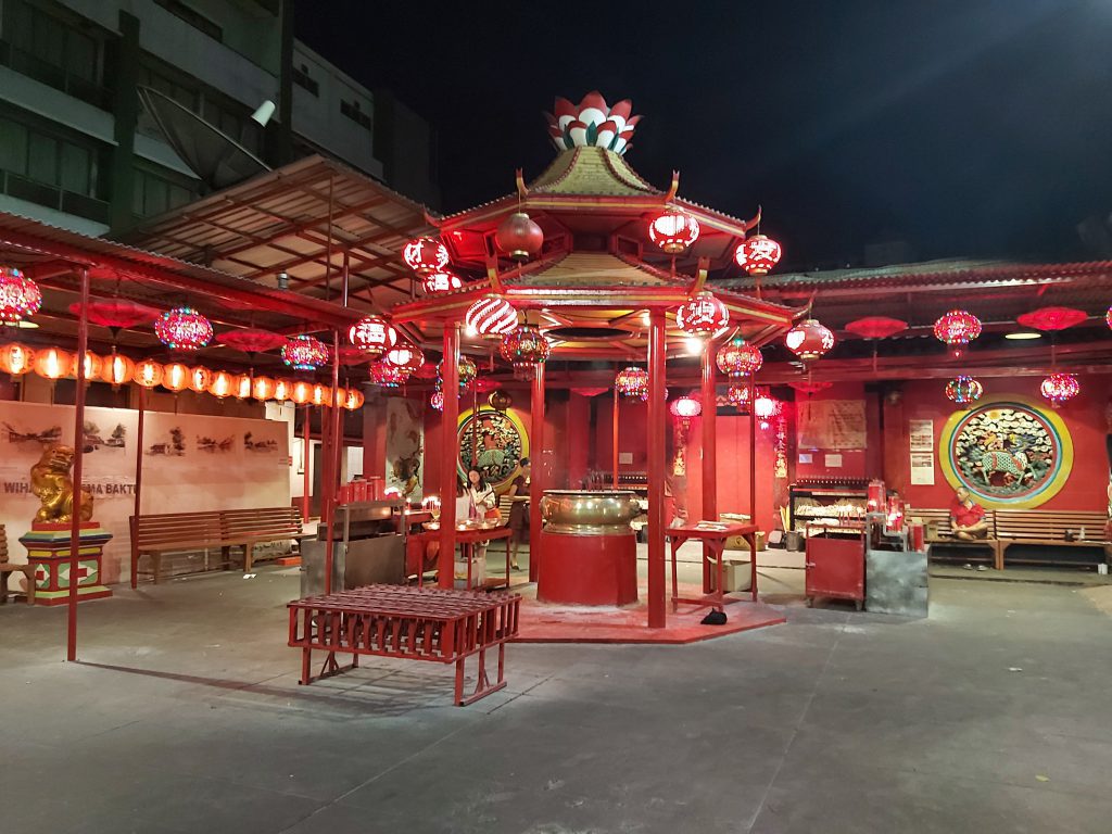
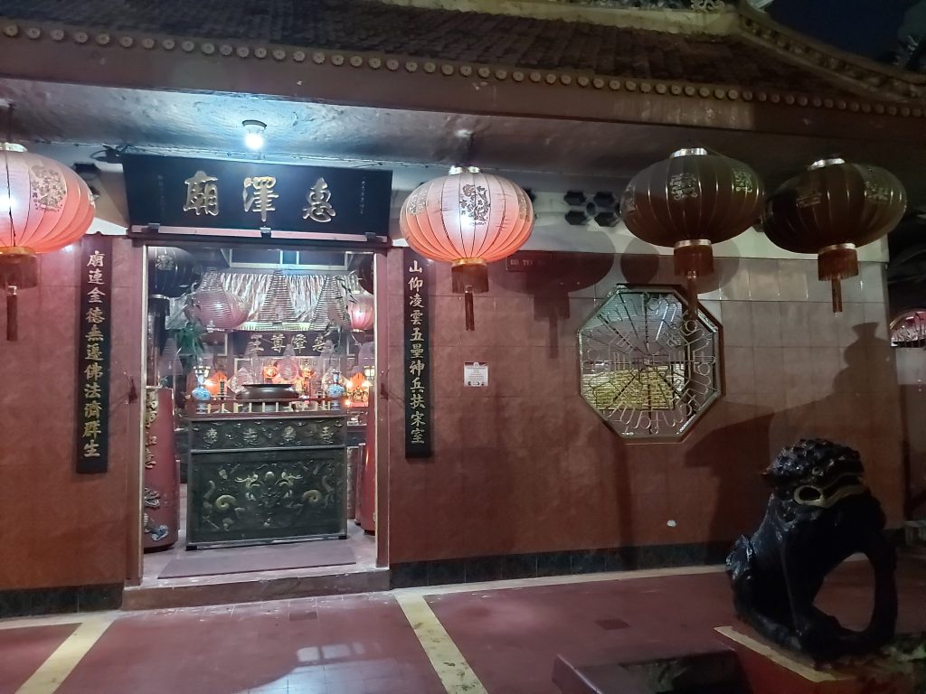
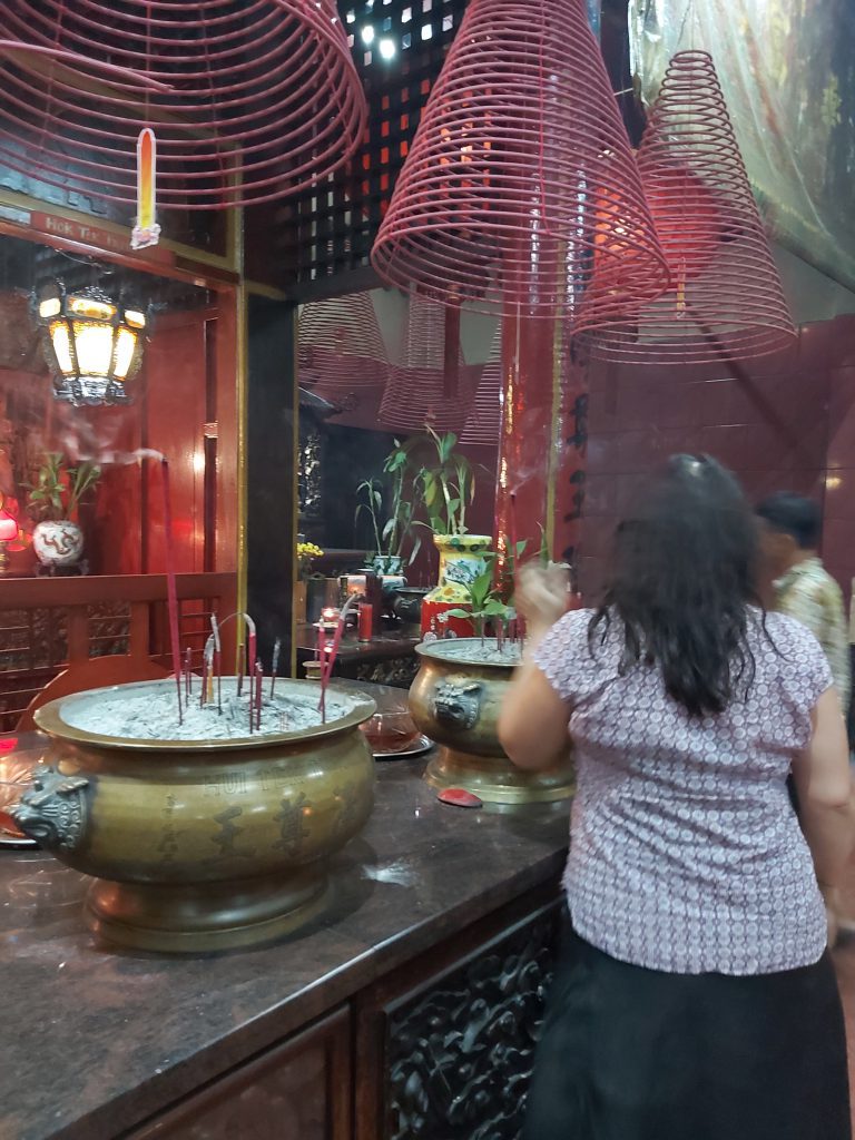
Glodok
The area is also known as Pecinan or Chinatown since the Dutch colonial era, and is considered the biggest in Indonesia. Majority of the traders and residents of Glodok are Chinese descent. The area dates back to colonial times when in November 1740, Dutch East Indies Company (VOC) designated Glodok as a residential area for ethnic Chinese.
Other than shopping, Glodok is a spot to buy Chinese food, traditional Chinese medicine and cheap electronic goods. Gang Gloria is a famous place for a wide array of dishes, including gado-gado (mixed vegetables served with peanut sauce), soto betawi (beef cooked in coconut milk), ketupat sayur (rice cakes served with coconut milk and vegetables), sek ba (pork offal stewed in soy sauce) and more. Established in 1927, the legendary Kopi Es Tak Kie coffee shop specializes in iced coffee. Rujak Shanghai Encim (boiled cuttlefish, radish, cucumber, and water spinach with red sauce and peanut sprinkle) this fresh salad was established around 1950s. This kind of dish is very rare, and can only found in Glodok.
There are three temples in the area, namely Dharma Bhakti Temple, Dharma Sakti Temple and Hui Tek Bio temple. Dharma Bhakti temple, which was esatablished in 1650 is the oldest temple in Jakarta. Santa de Fatima Catholic Church, which is built in Chinese architecture located at Jl. Kemurnian III.
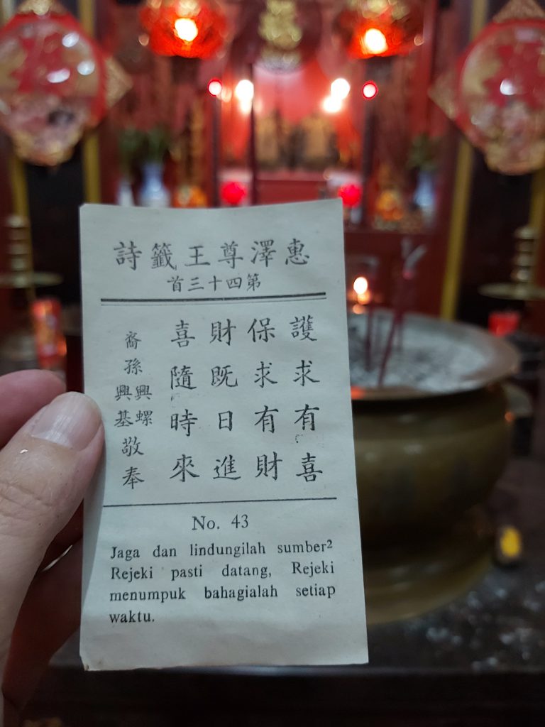
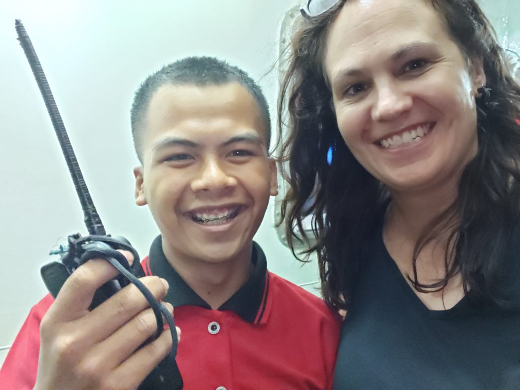
My guide and I went to a temple in which I made a traditional prayer and a fortune teller gave me a piece of paper with a forecast for my future on it. I also walked around the area and other temples.
Bye bye Jakarta
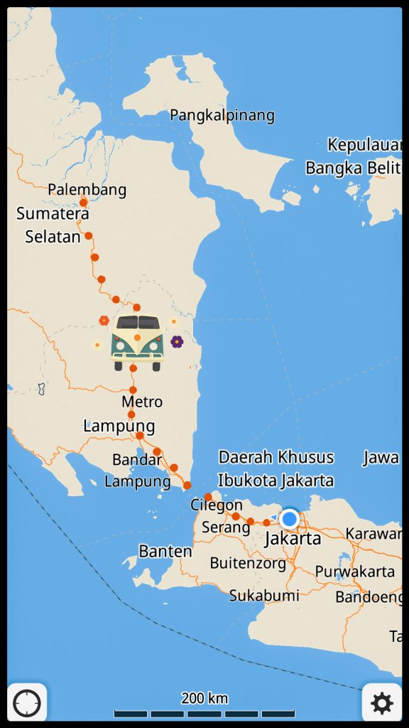
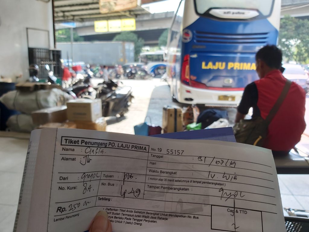
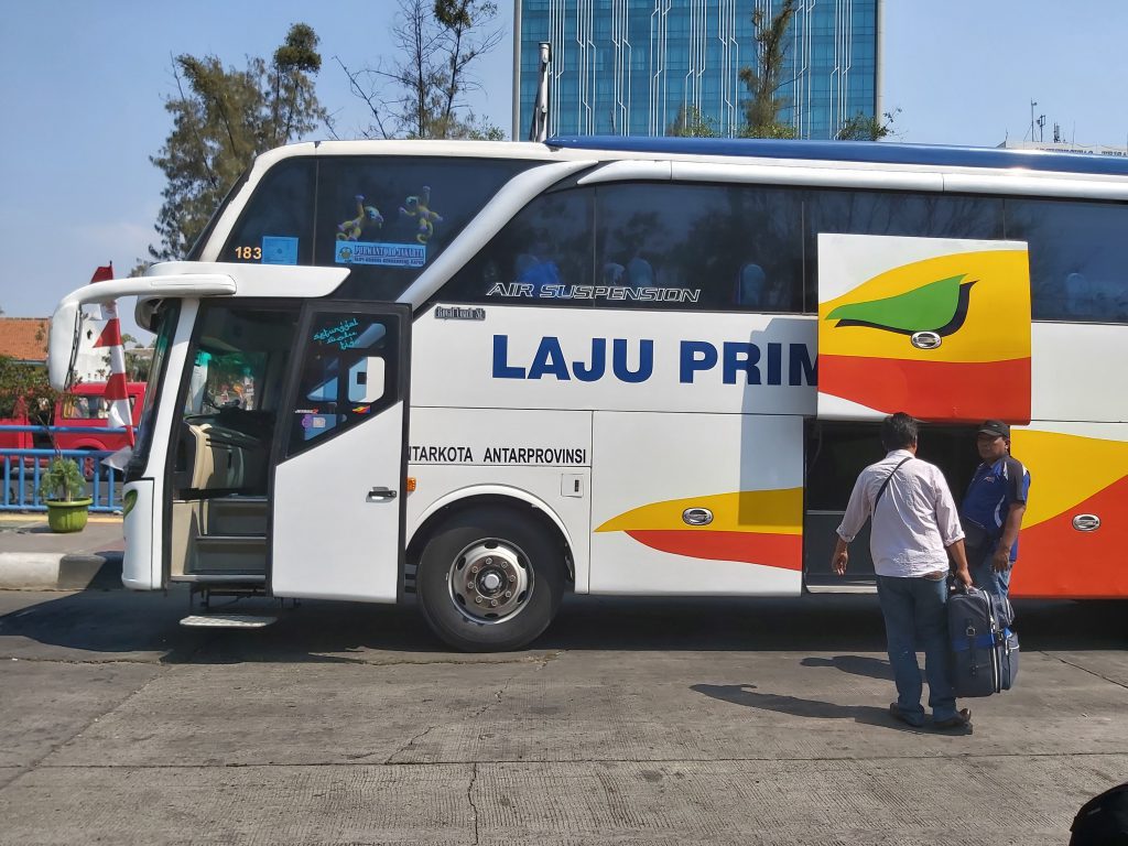
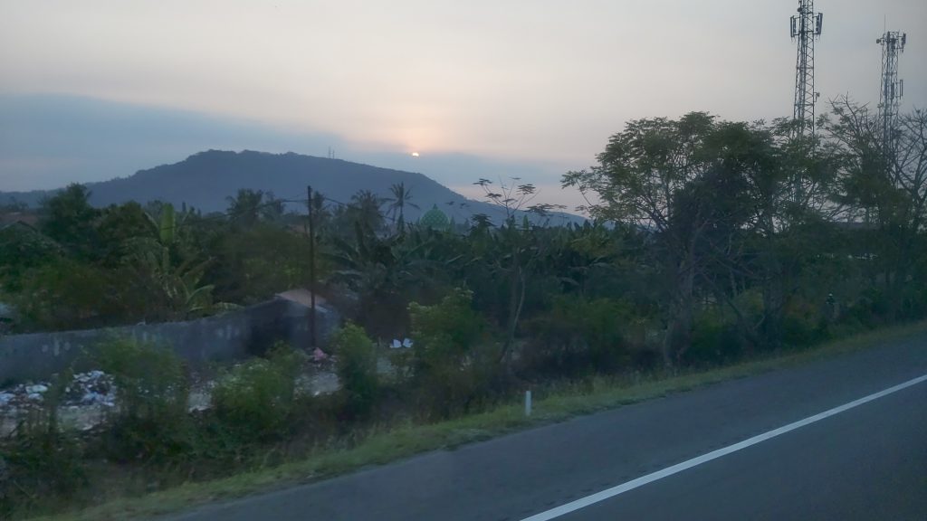
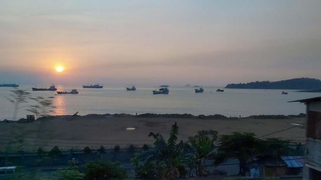
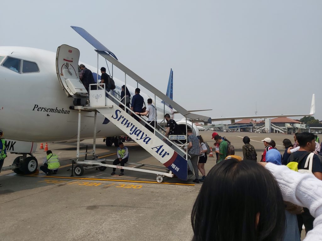
I continued my journey to my roots to the west of Jakarta and I got on the express bus to Palembang. When I asked the driver how long it takes to get there, he told me 7, so I somehow assumed he meant a 7-hour drive. Soon I relized he meant 7 am, so that’s a 20-hour drive… but a very nice view and friendly people on the bus. We also take the ferry from the west of Java to the south-east of Sumatra, great! I love boats!
Waiting for bus to leave There goes my suitcase
Beautiful views Near the ferry to Sumatra
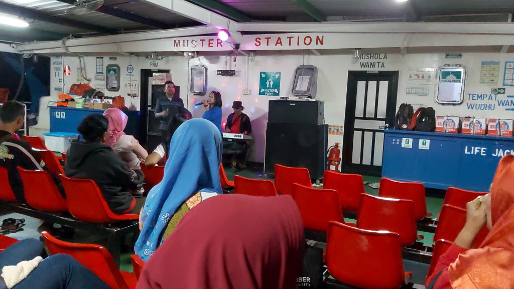
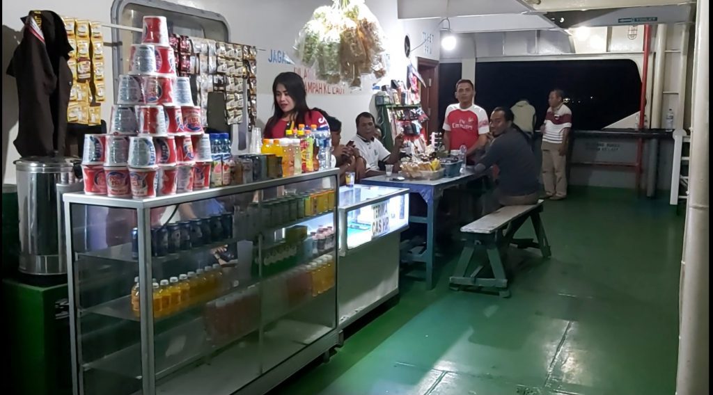
Bye bye Java! Entertainment on board Hello Sumatra!
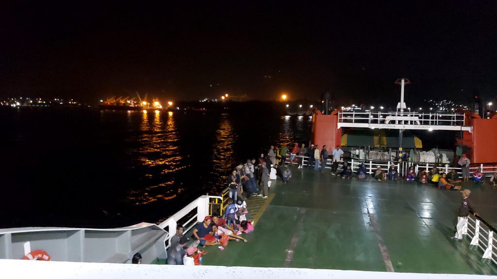
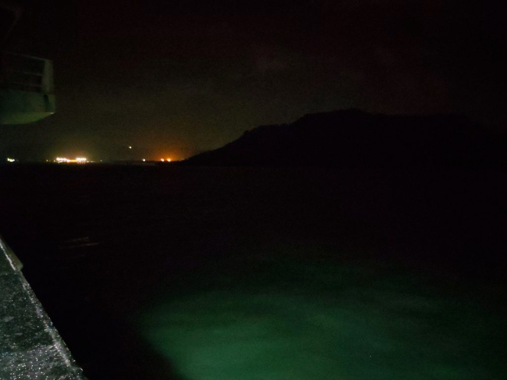
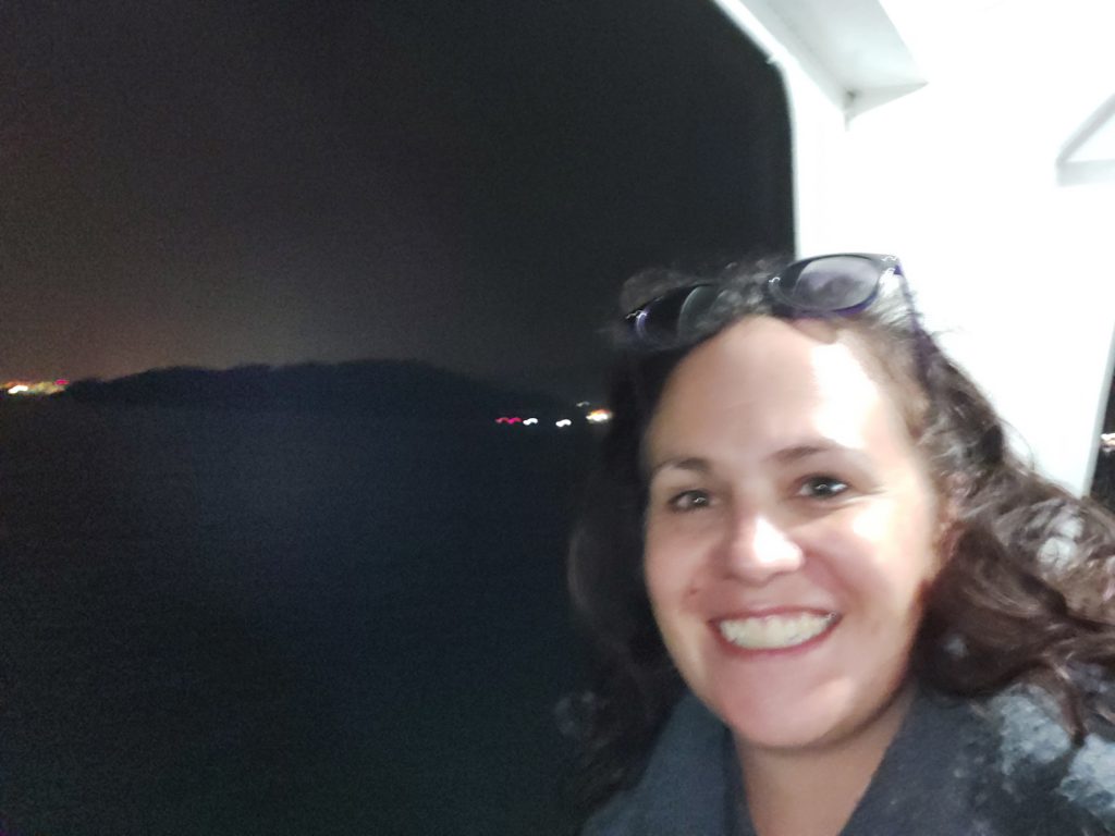
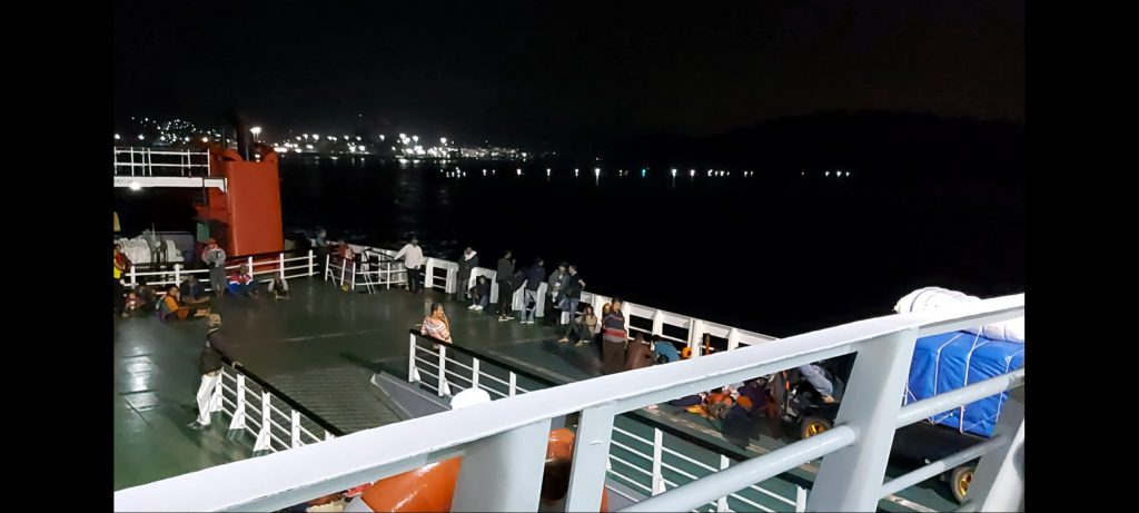
I also met a lot of kind people on the boat who wanted to take a picture with me and saw some big fires on the islands we passed, which looked a bit frightning in the dark.
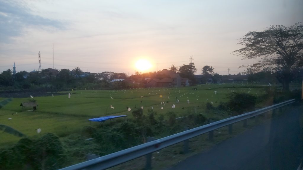
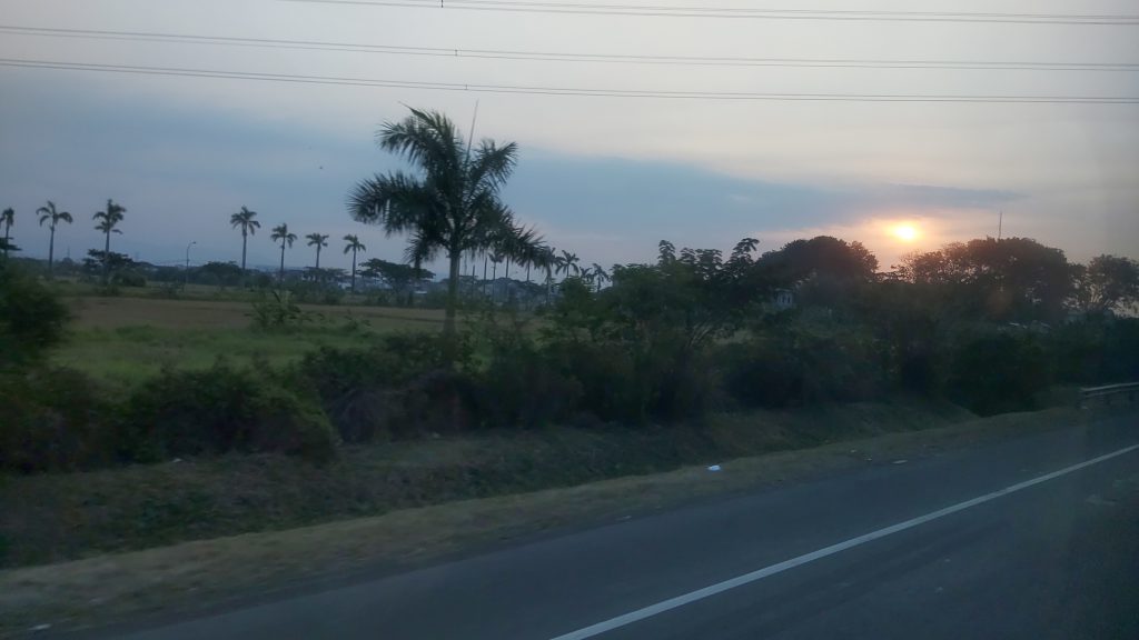
Views from the bus in Sumatra
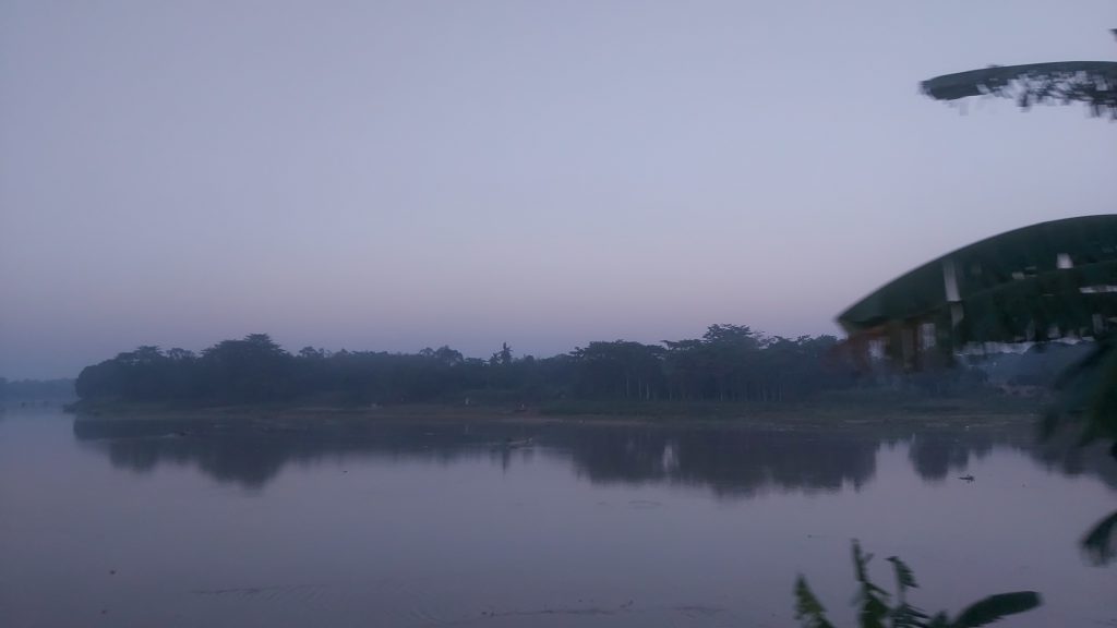
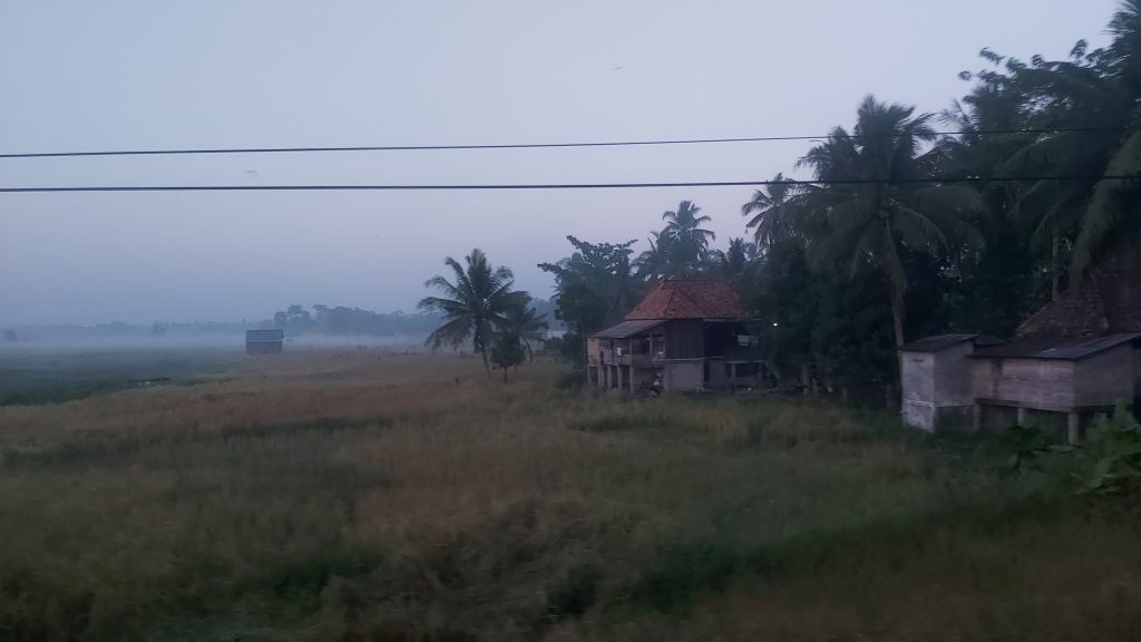
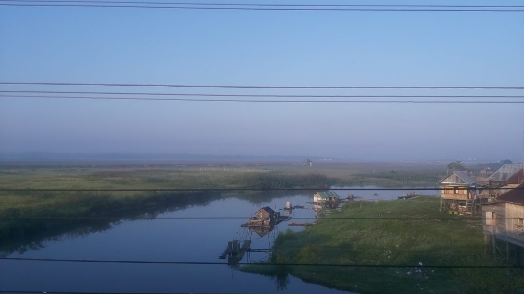
After the boat docked in Sumatra I got back on the bus and fell asleep. It was a long drive and a long day. When I woke up I was about an hour away from Palembang and I saw the most beautiful views.
Views from the bus in the morning
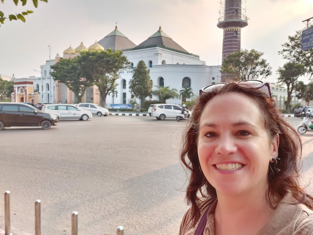
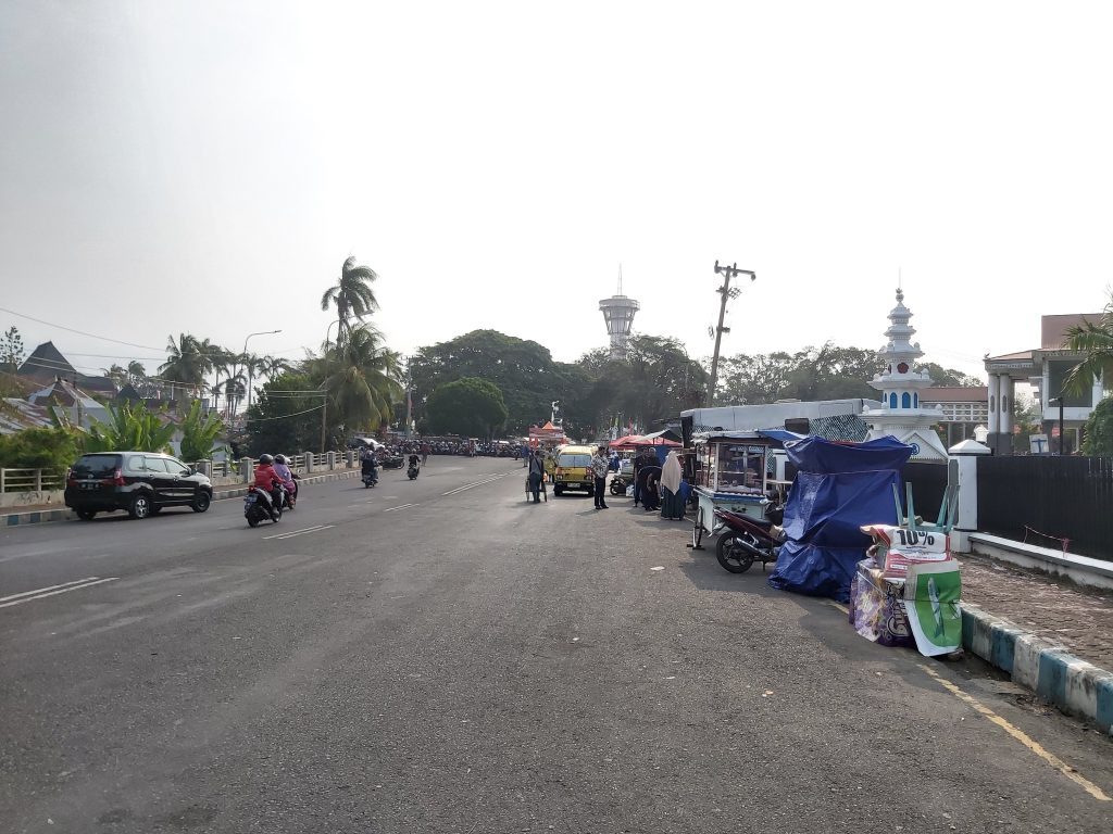
Palembang
Palembang is the capital city of the Indonesian province of South Sumatra and has about 1.7 million inhabitants. It is one of the oldest cities in Southeast Asia. Once it was the capital city of Sriwijaya, a powerful Buddhist kingdom that ruled many parts of the western Indonesian Archipel a long time ago (around the 7th century) and controlled many maritime trade routes, especially in the Strait of Malacca.
Palembang was incorporated into the Dutch East Indies in 1825 after the abolishment of the Palembang Sultanate. It is a city since 1 April 1906. From the late nineteenth century, with the introduction of new export crops by the Dutch companies, most notably robusta coffee, Palembang rose again as an economic centre.
During early 20th century, the development of the petroleum and rubber industries in Palembang Residency caused unprecedented economic growth to the city. Palembang was a high priority objective for Japanese forces during WO II, because it was the location of some of the finest oil refineries in Southeast Asia.
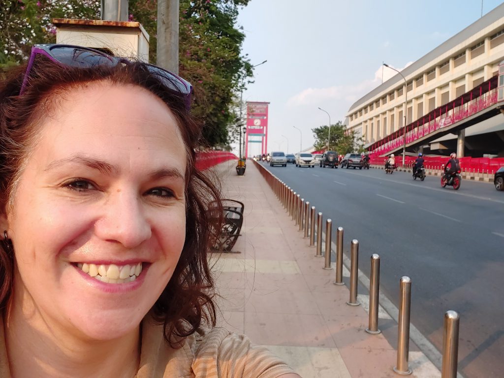
The Ampera bridge was planned during the era of Indonesia’s first president, Sukarno, who wanted a bridge that could open and be a match for London’s Tower Bridge. The funds for the construction came from Japanese war reparations, with the Fuji Car Manufacturing Co. Ltd being given responsibility for the design and construction.
Palembang became the host of the 2011 Southeast Asian Games and 2018 Asian Games along with Jakarta. In 2010, Palembang launched its bus transit system, Transmusi and the first light rail system in Indonesia was operated in Palembang in July 2018.
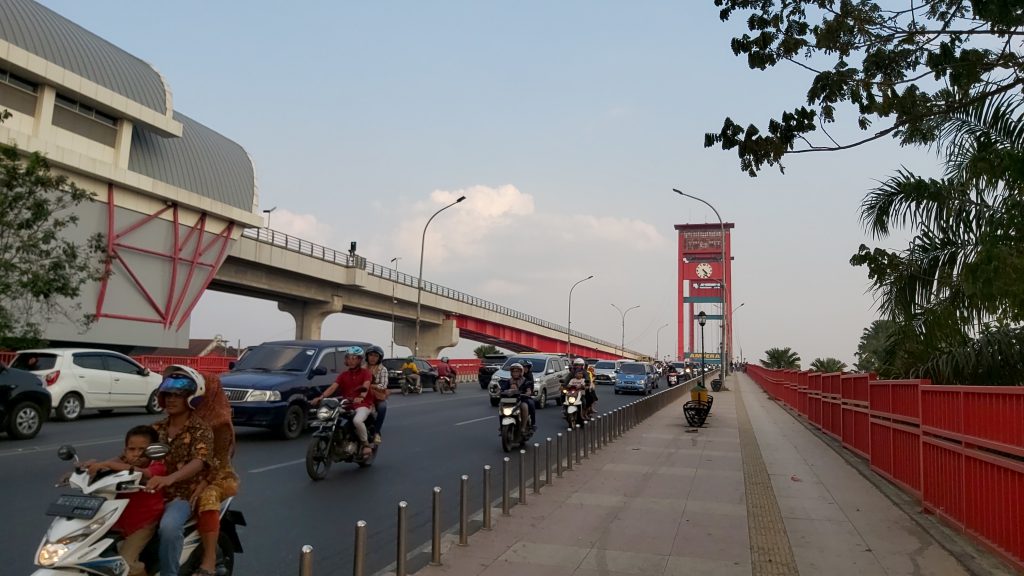
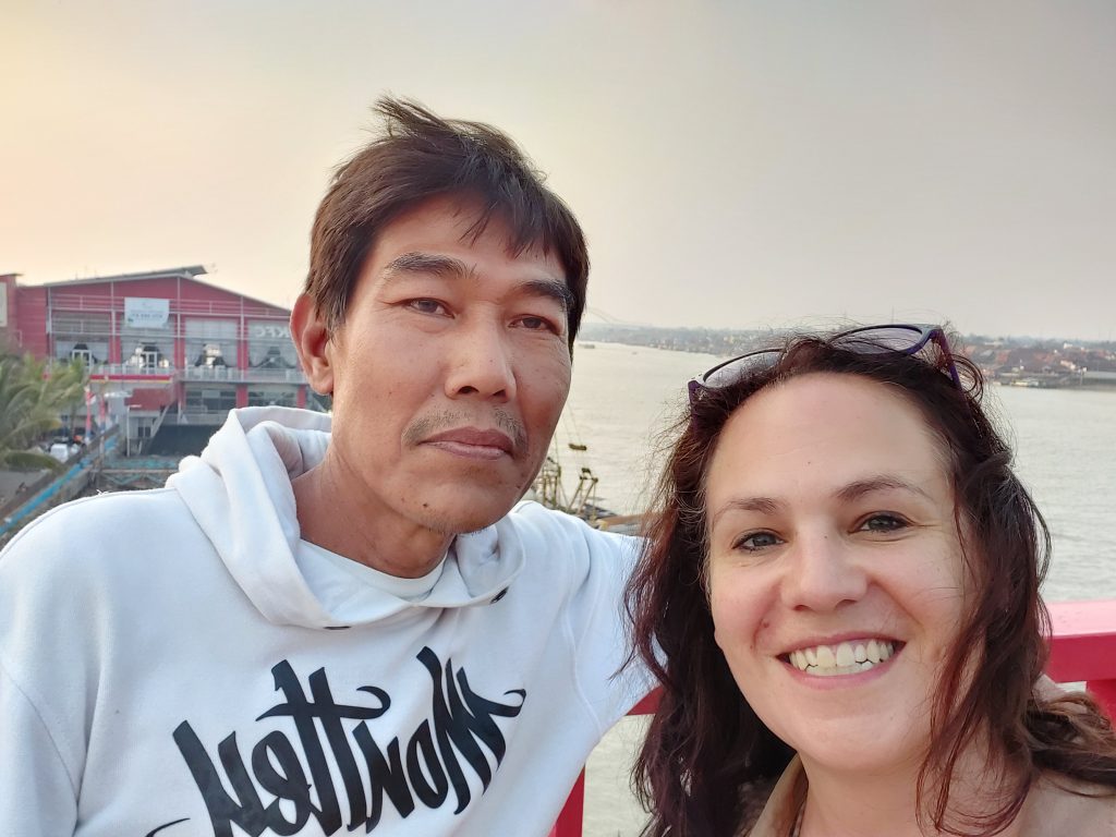
Ampera bridge, on the left a (whole) family on a scooter
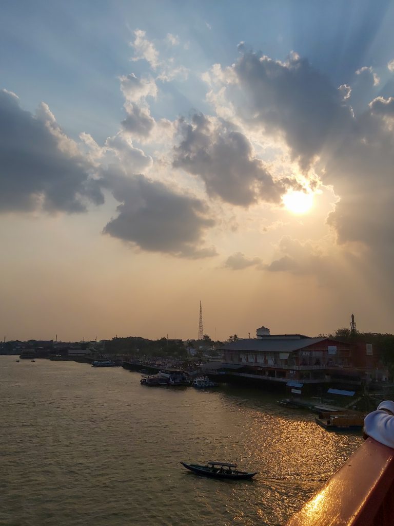
View from Ampera bridge Pempek
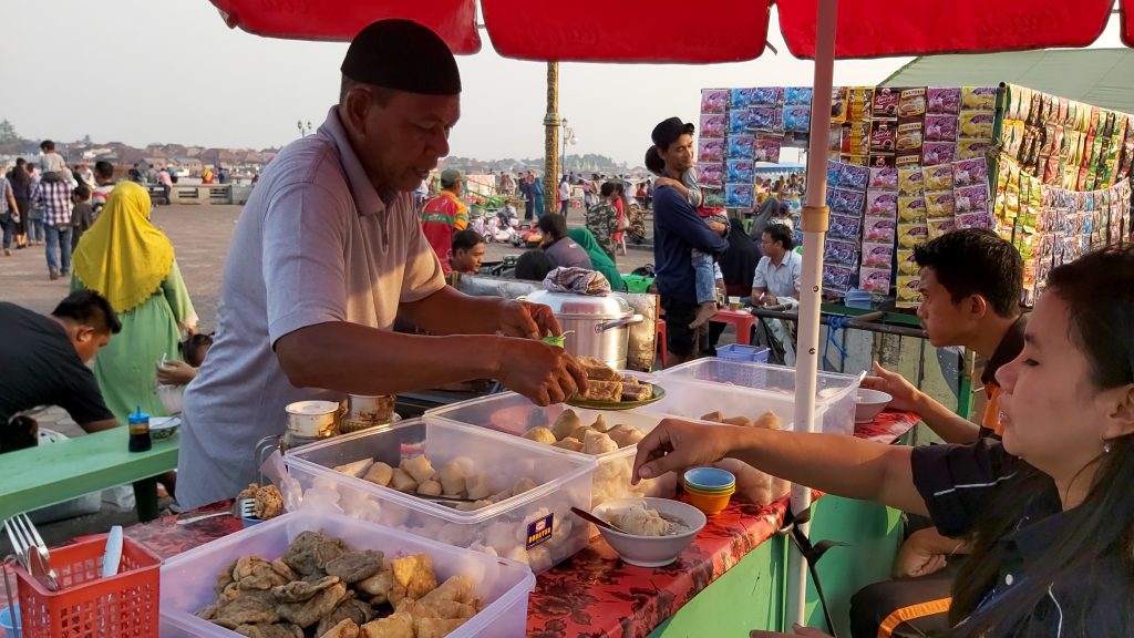
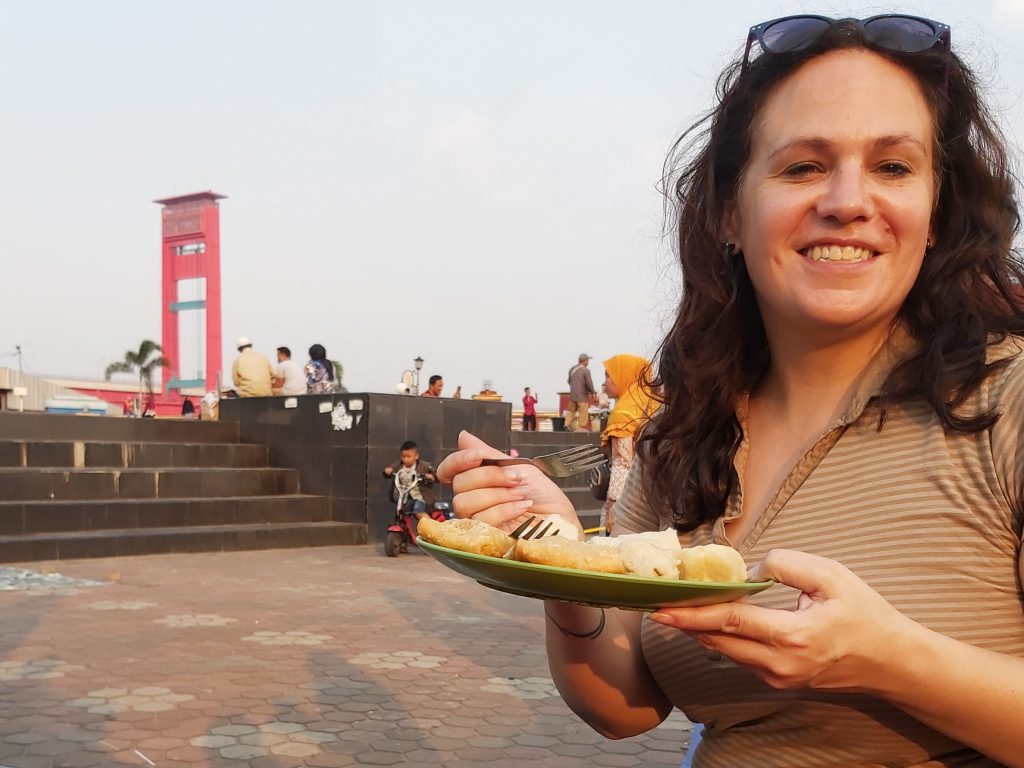
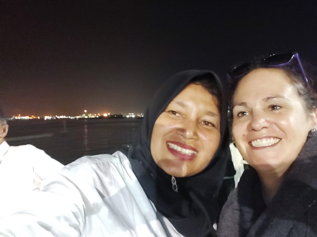
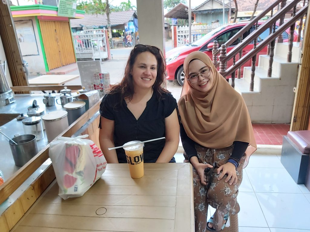
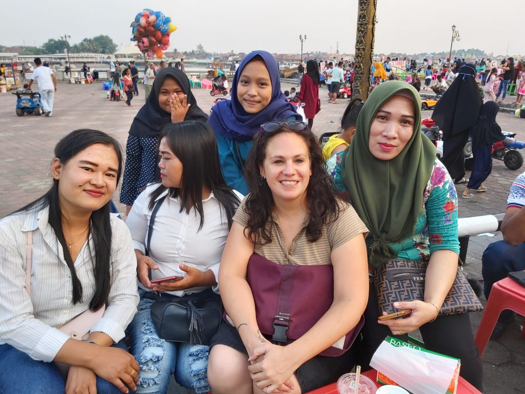
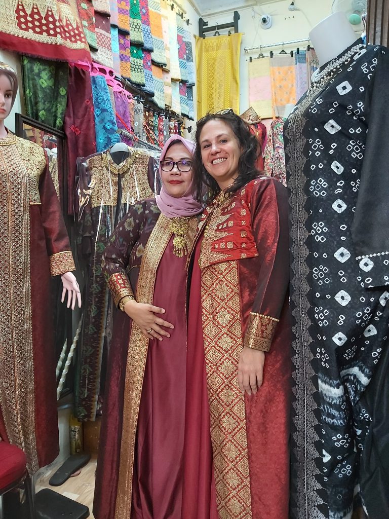
Many Indonesians know the city for its main landmark, Ampera Bridge, and its authentic food: pempek, which I had to try off course. I also went shopping with a woman who lives next to the hotel where I’m staying, because I wanted to buy a songket (traditional Indonesian dress) for my brothers wedding.
Best Thai latte ever! Thai latte 😀 The house of the women next to the hotel Shopping for a songket

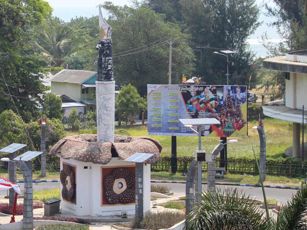
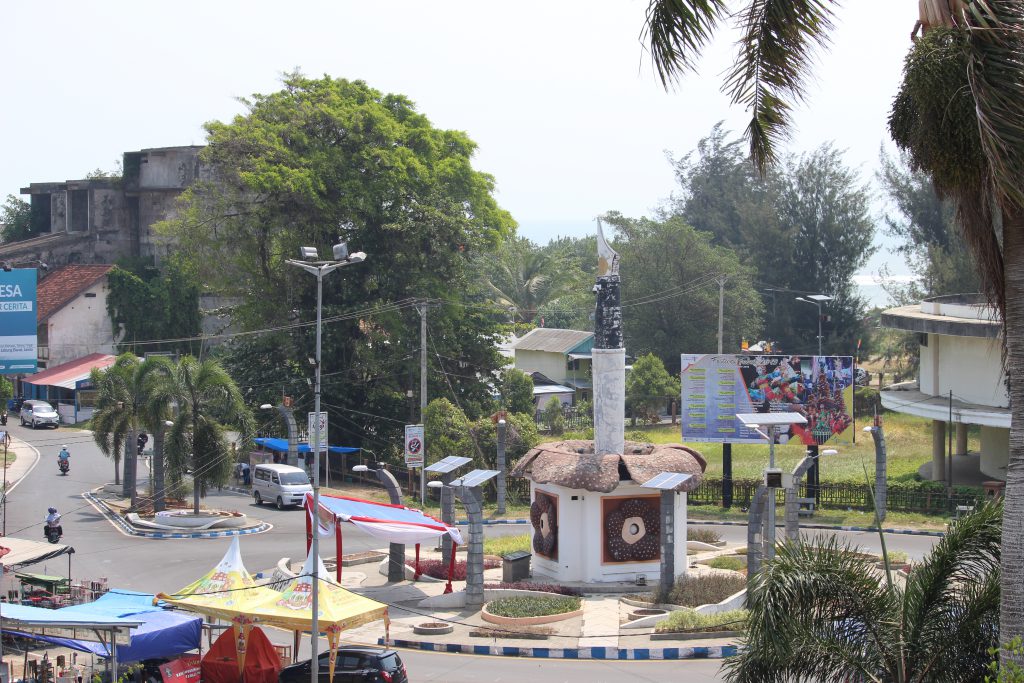
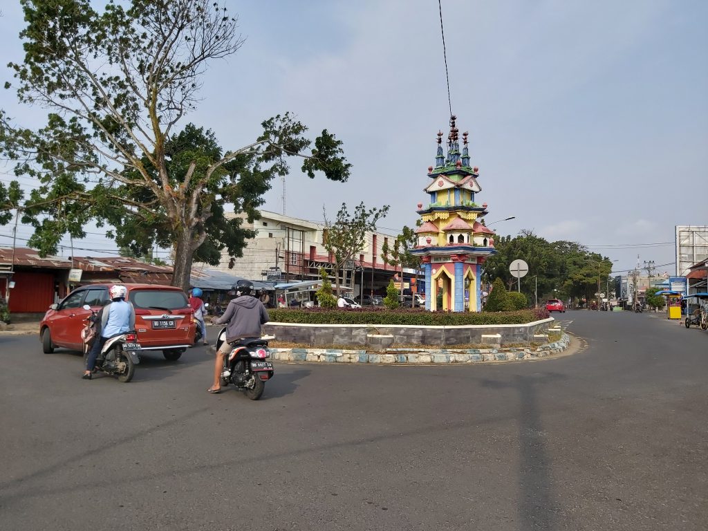
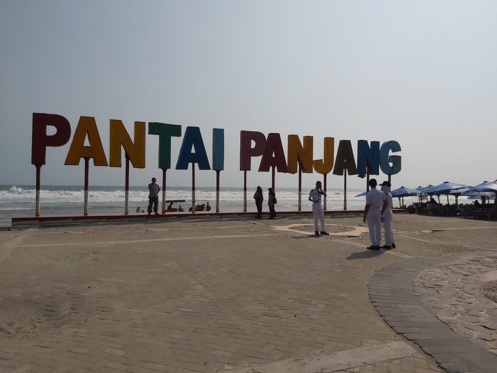
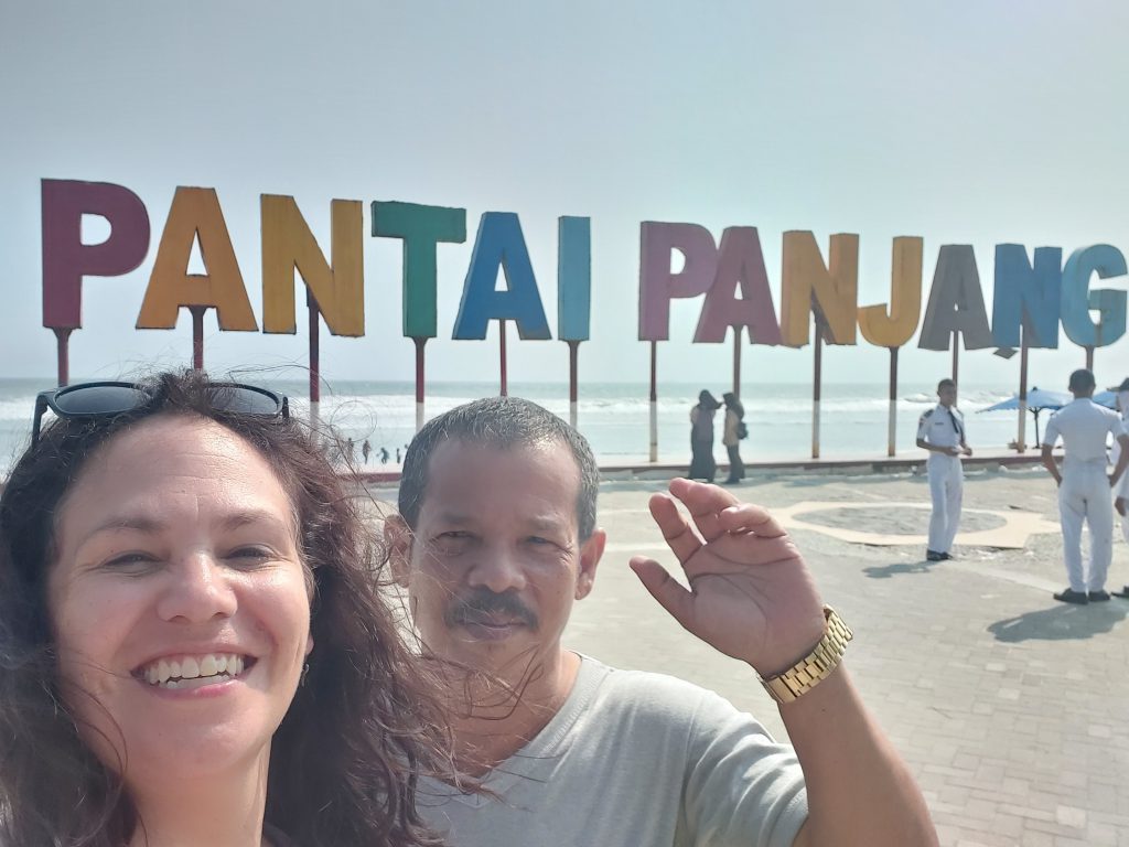
Bengkulu
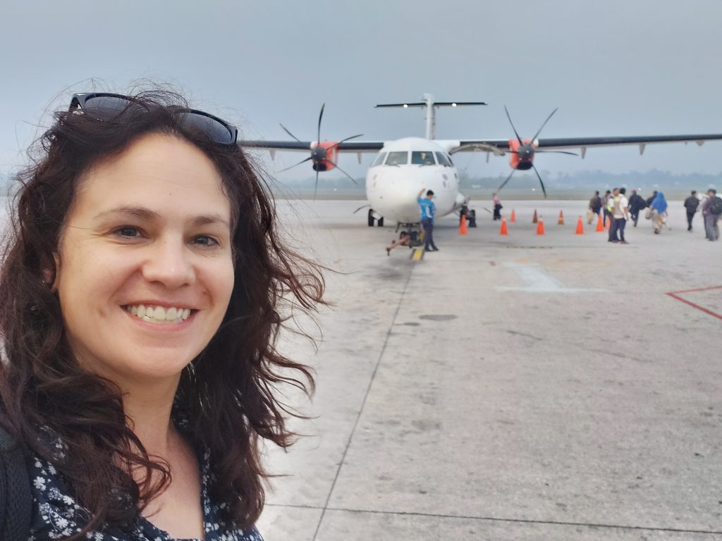
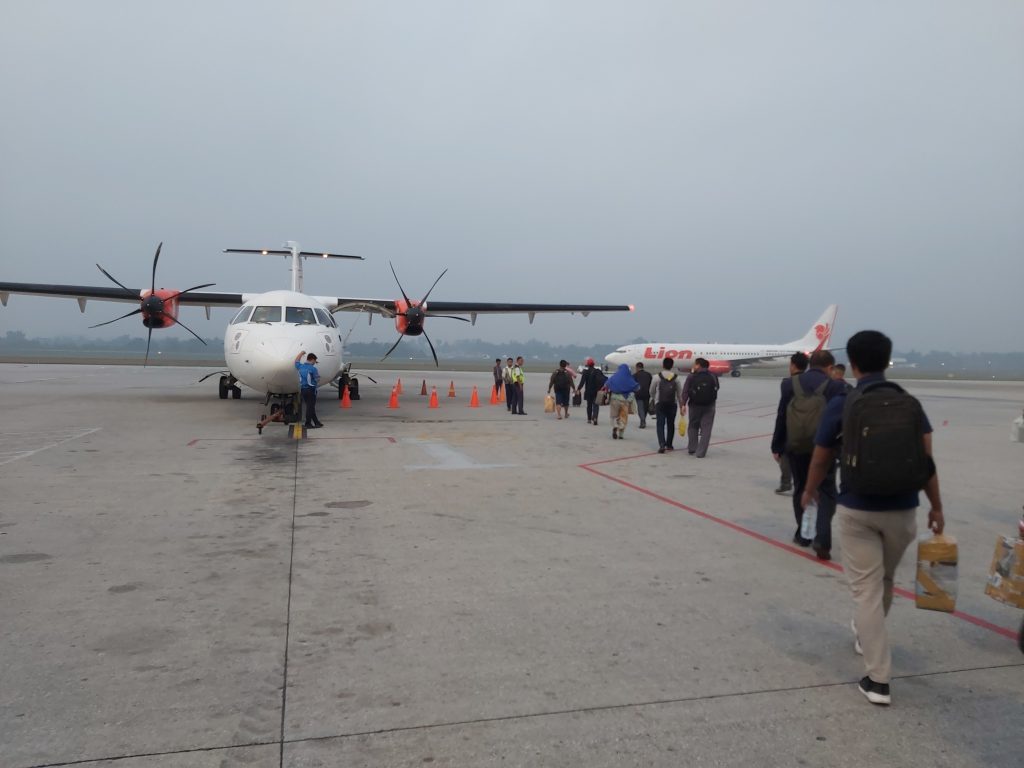
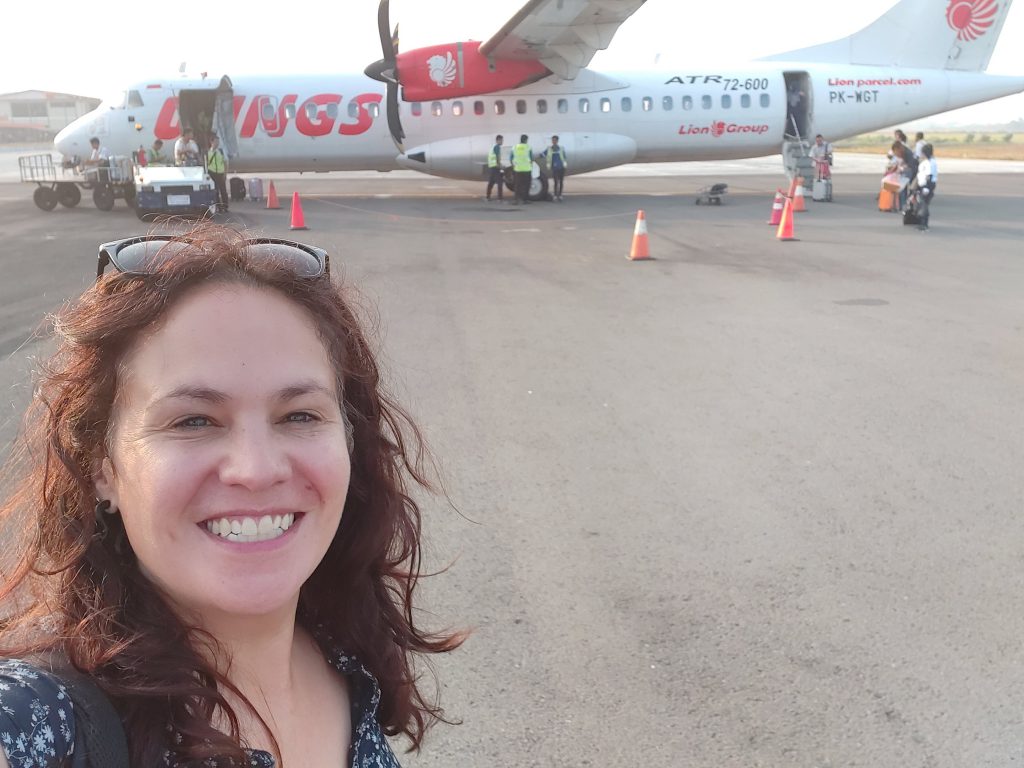
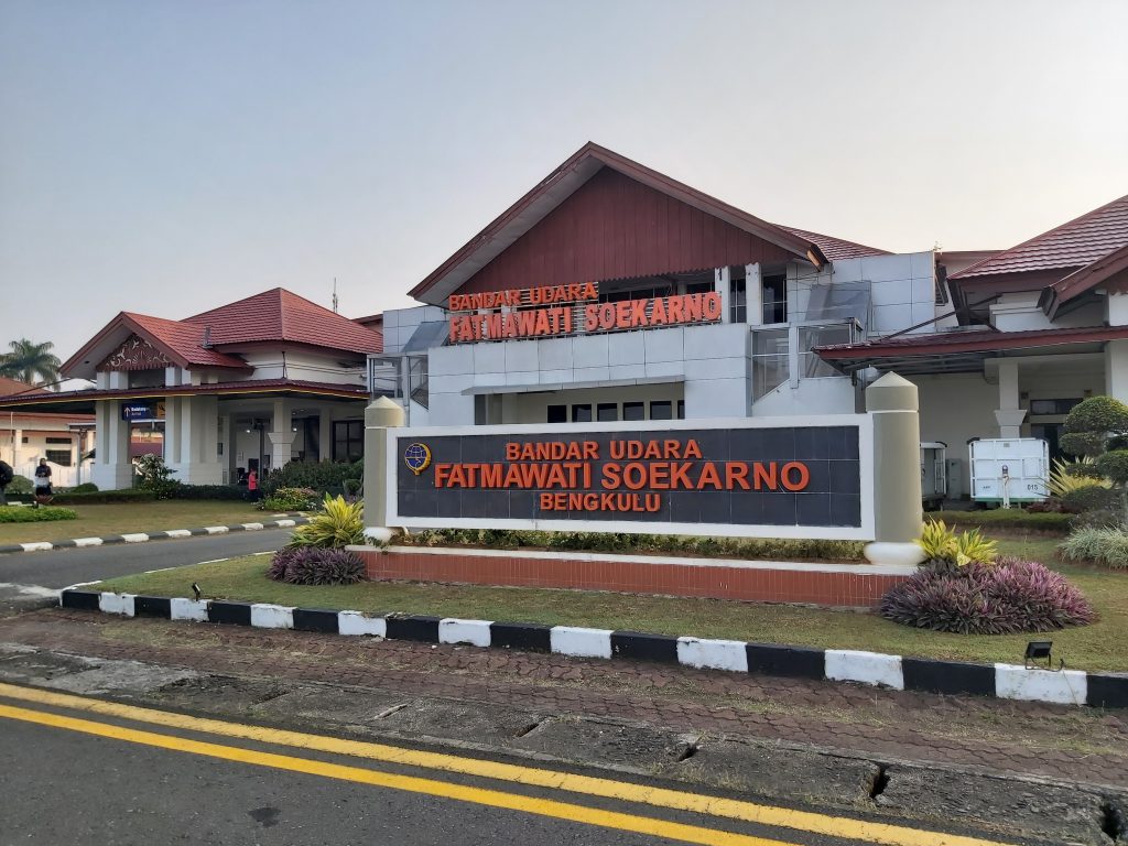
My plane leaves at 6.00 am, which means I have to be at the airport before 4.30 am to check in. I’m so excited I couldn’t sleep. At the airport I have to go to gate 4, but there are only 3 gates. I’m the only foreigner at the airport and everybody wants to help me, but most of them hardly speak english, so it takes a moment until I understand we can walk to the plane from gate 1. It’s a small propellor plane and the view is beautiful.
Plane to Bengkulu The view is beautiful Yes!!! I’m in Bengkulu!
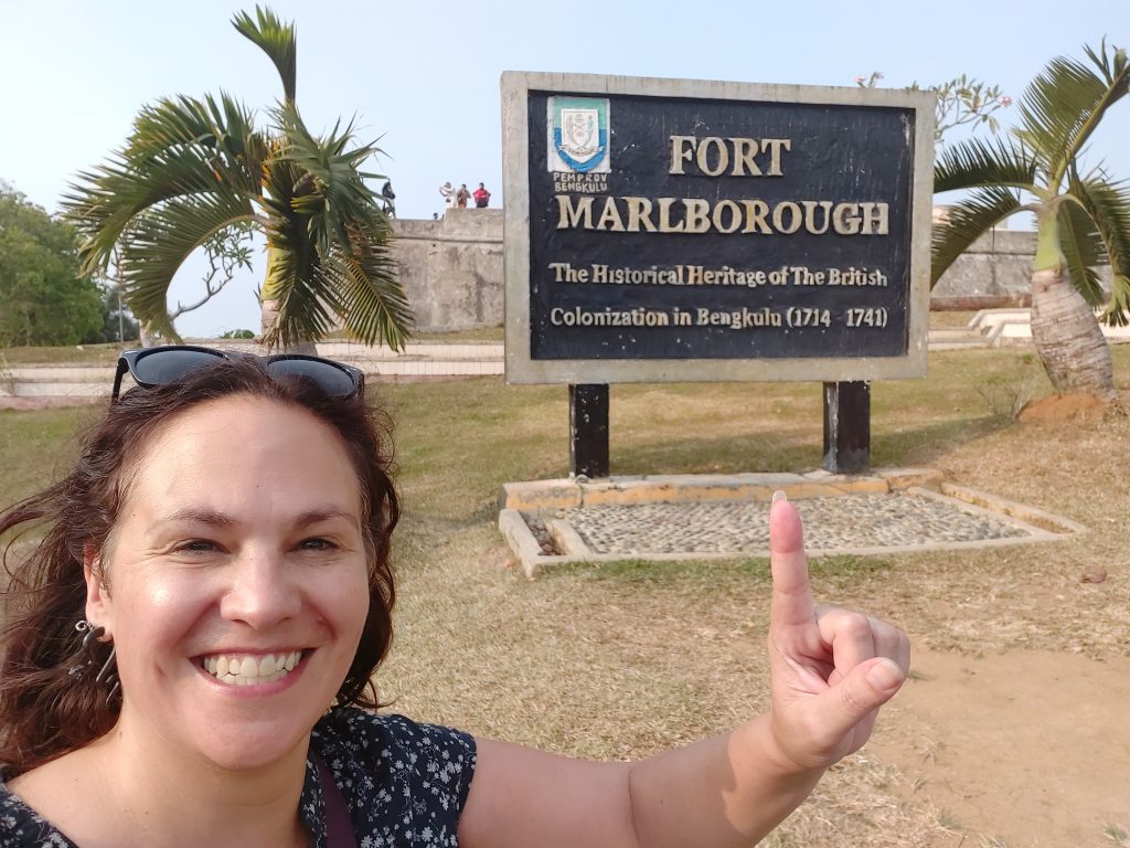
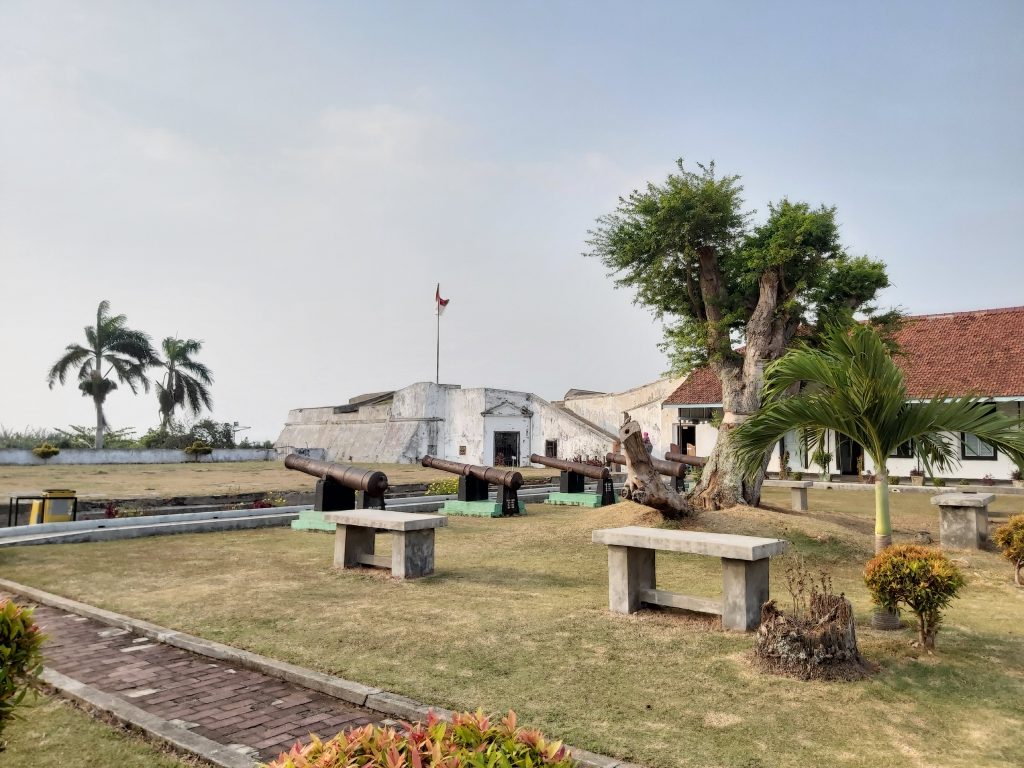
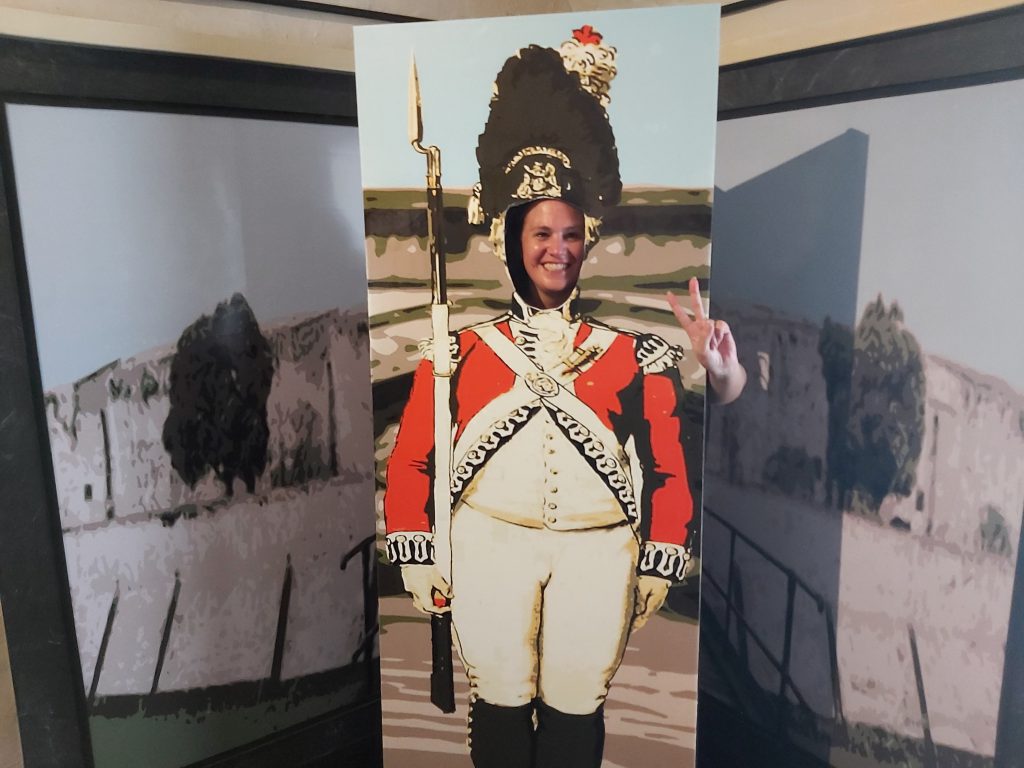
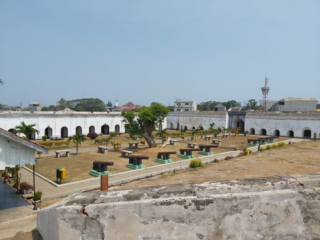
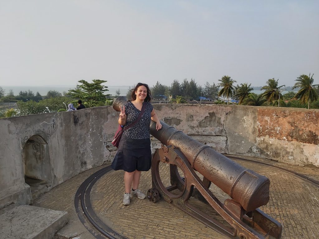
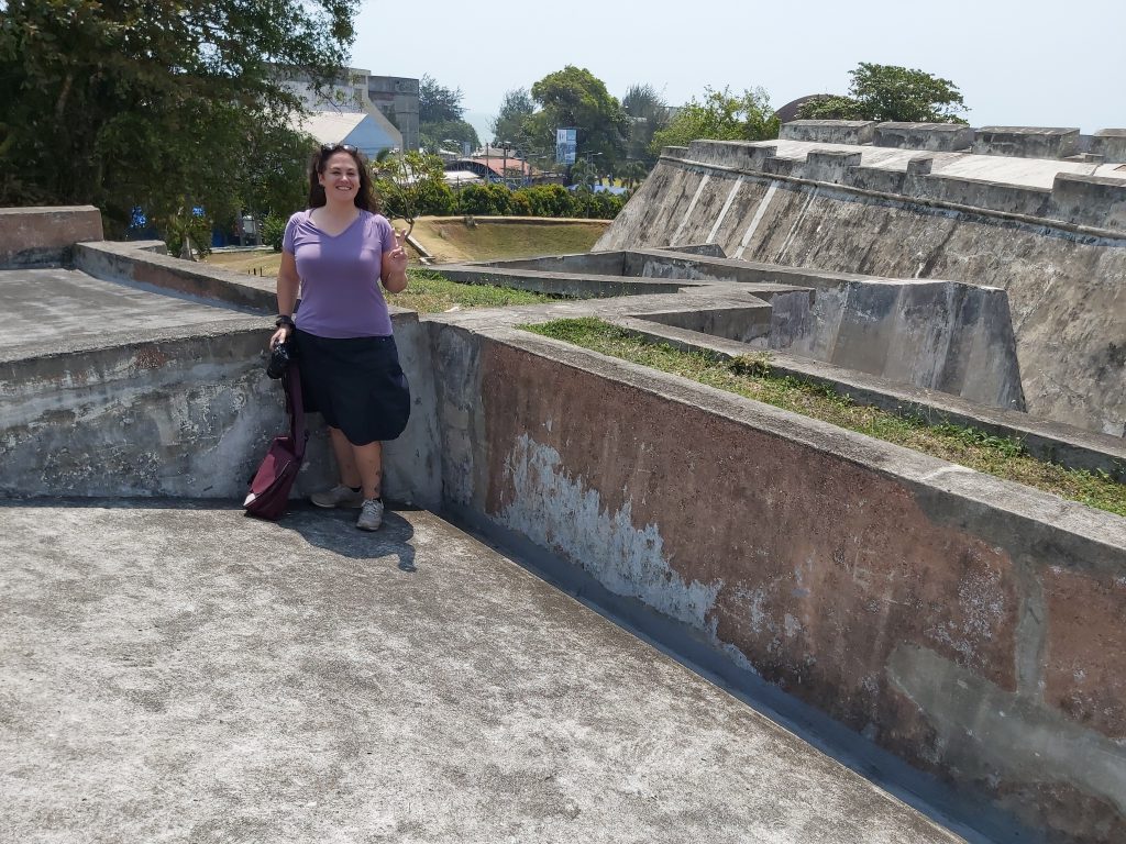
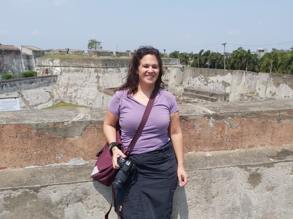
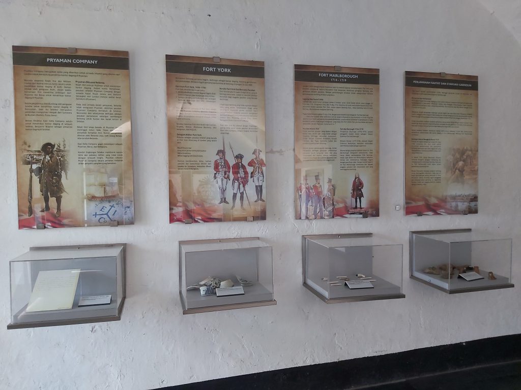
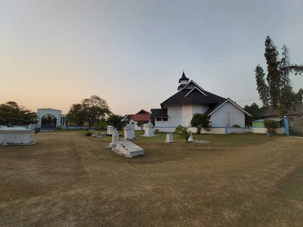
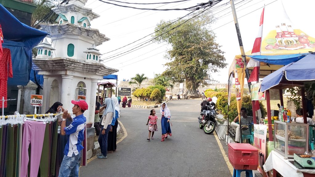
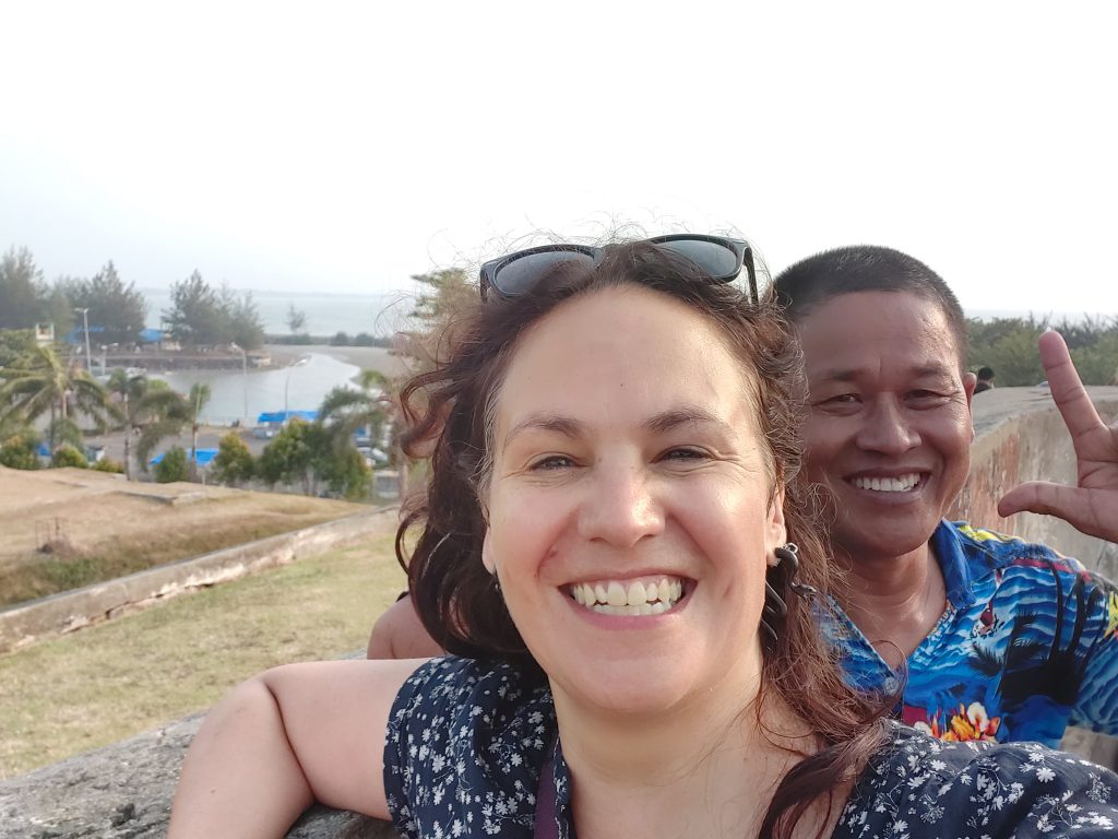
Fort Marlborough
Fort (benteng) Marlborough, this is where my ancestor (Henry Charlesz Lewis) worked/lived when he came here from Scotland until he died in 1795. My family became Dutch after the fort was under control of the Dutch and decided to stay here. By that time they had become planters in Bengkulu. The fort is restored by the indonesian government and Soekarno visited it after Indonesia became independant.
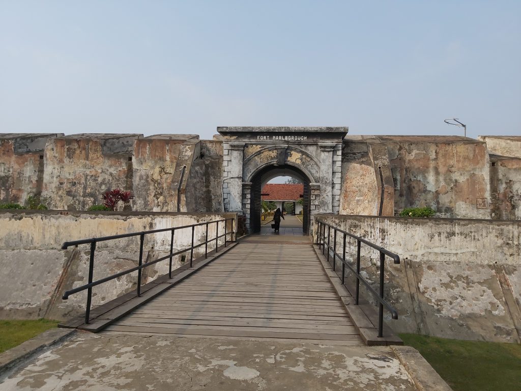
Fort (benteng) Marlborough was built in Bengkulu (then Bencoolen) between 1713-1719 by the East India Company under the leadership of Governor Joseph Collett as a defensive fort and trading post for the British East India Company’s Residency there. It was one of the strongest British forts in the eastern region, second only to Fort St. George in Madras, India.
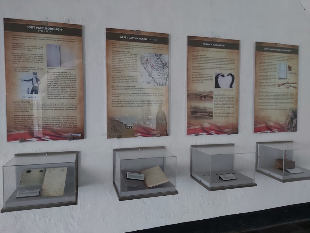
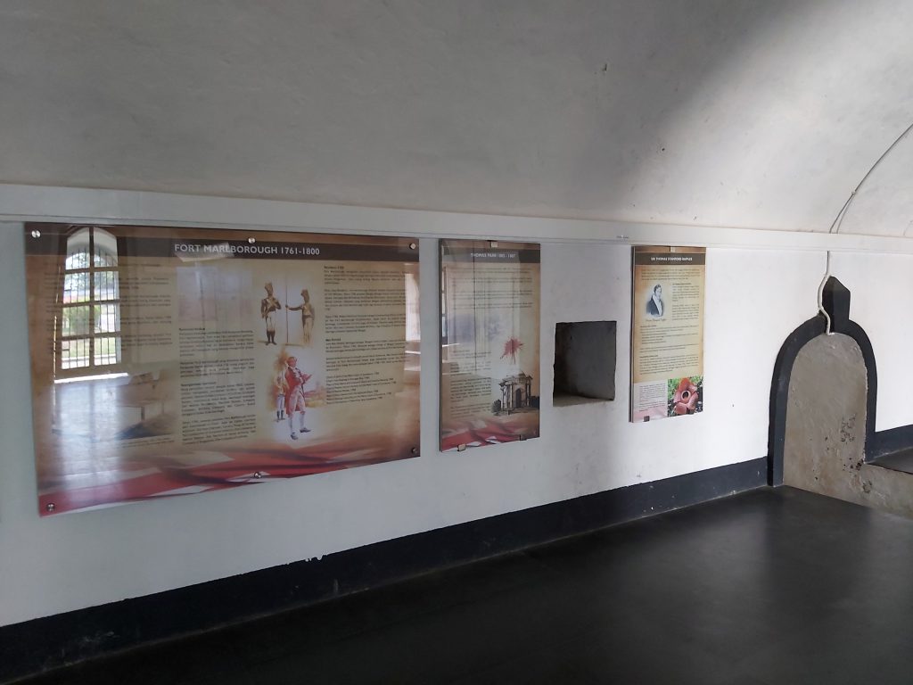
The British transferred Bengkulu, then known as Bencoolen, to Dutch control under the Anglo-Dutch Treaty of 1824, which defined British and Dutch spheres of influence. In exchange, the Dutch ceded Malacca to the British and gave up their resistance to British occupation of Singapore. In 1837, the fort had about 60 Dutch soldiers occupying it. The Japanese occupied the fort during their occupation of the Dutch East Indies (1942–1945). Then, during the Indonesian National Revolution period, the fort housed the headquarters of the Indonesian national police until the Dutch reoccupied the fort. When the Dutch left Indonesia in 1950, the Indonesian Army took over the fort. In 1977 (coincidently my year of birth), the fort was handed over to the Department of Education and Culture to be restored and converted into a heritage site.
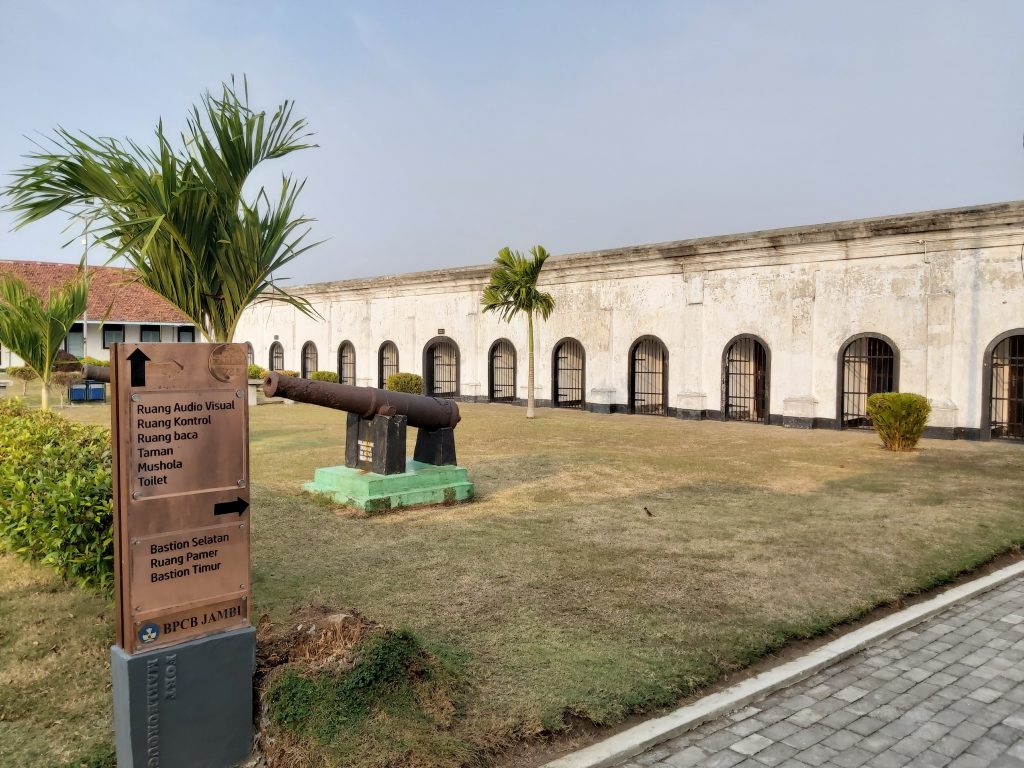
Fort Marlborough, this is where my ancestor worked/lived Fort Marlborough, this is where my ancestor worked/lived
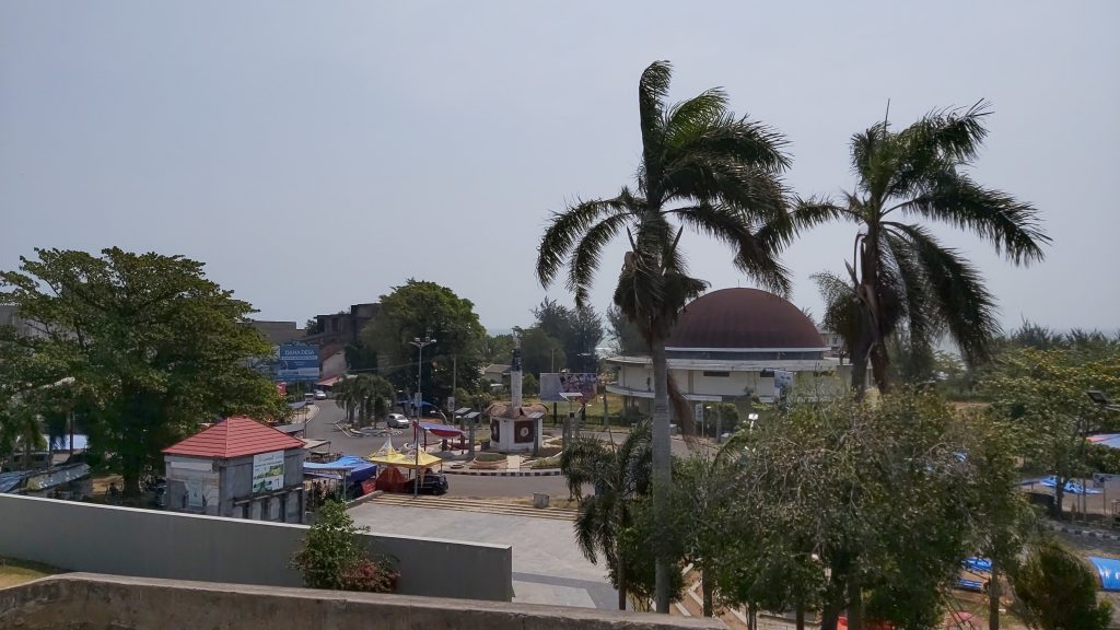
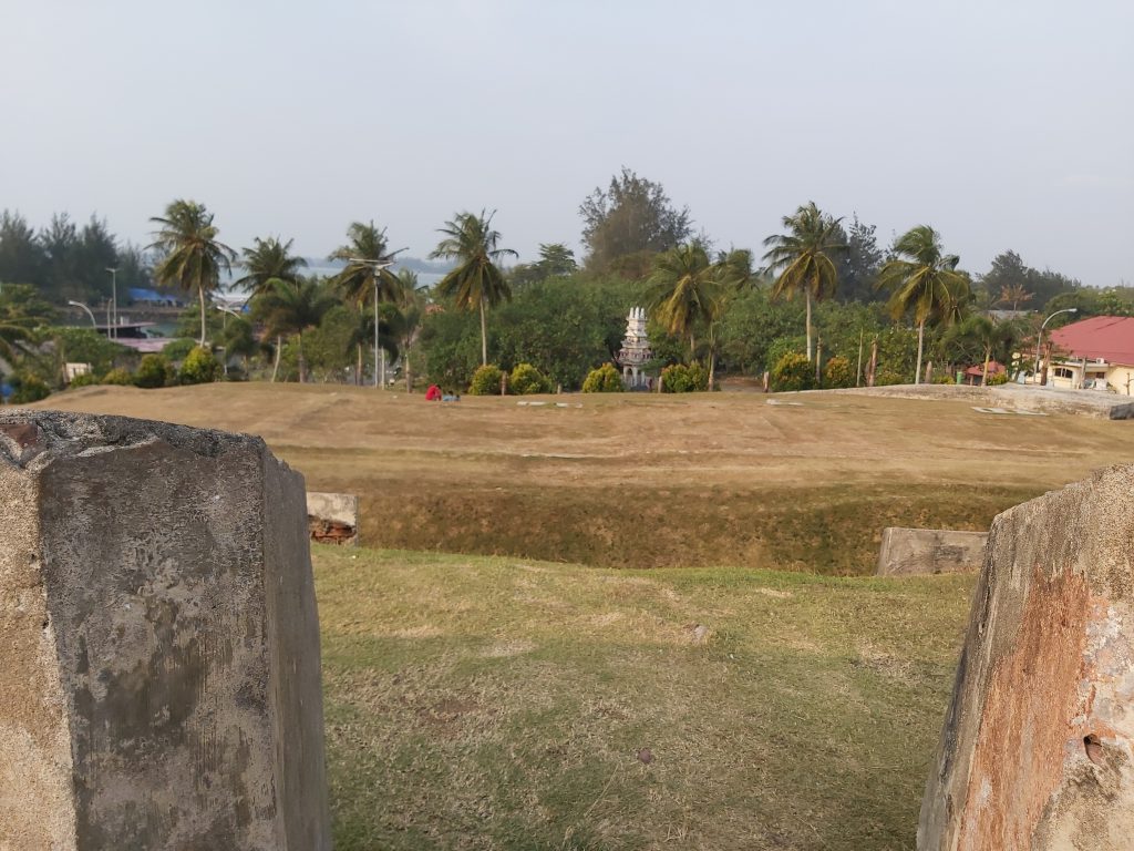
Bengkulu (view from fort Marlborough)

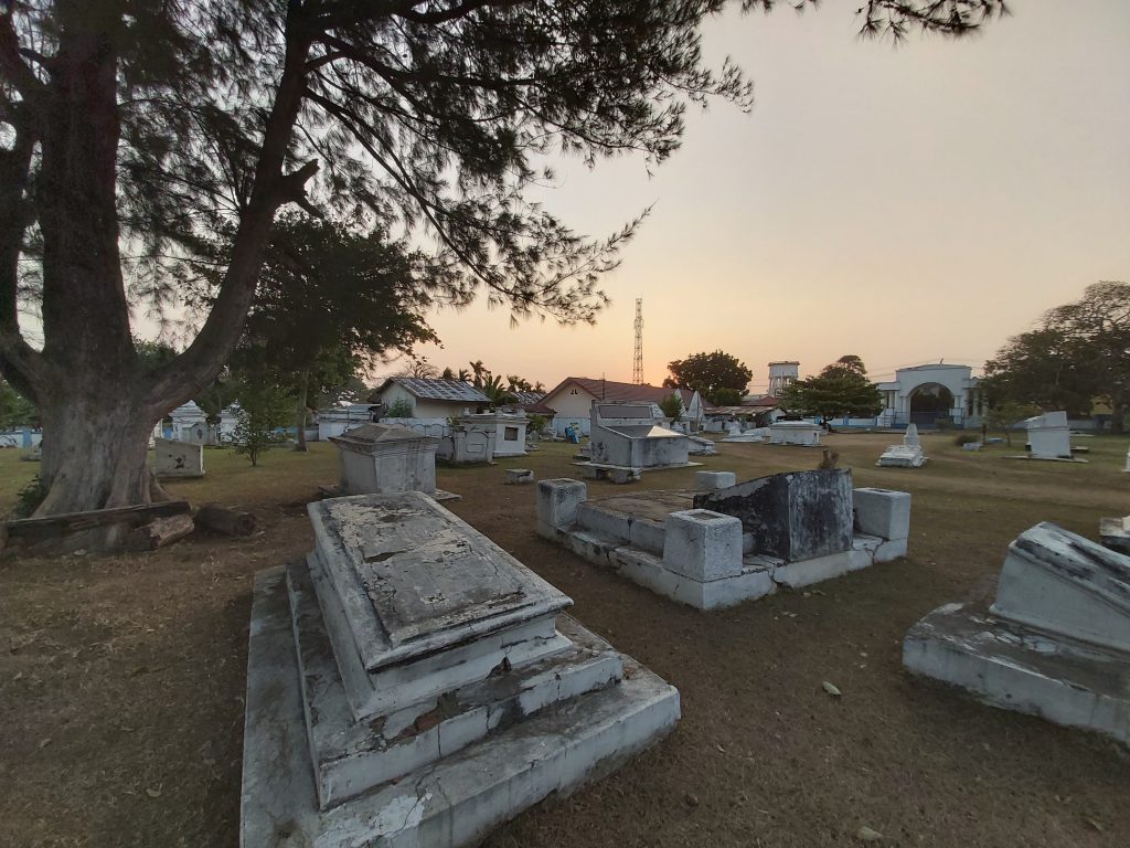
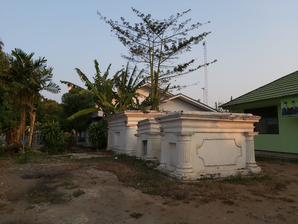
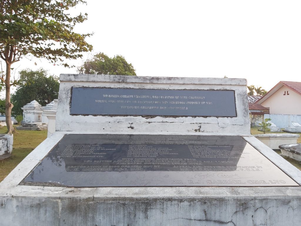
Graveyard
Nearby the fort is still a small cemetary with graves of the English and Dutch people who worked at the fort. A women who lives here looks after this (it’s her backyard) and children play here in the afternoon. There are still some graves of our family here but I couldn’t find them..
Cemetary with English and Dutch graves
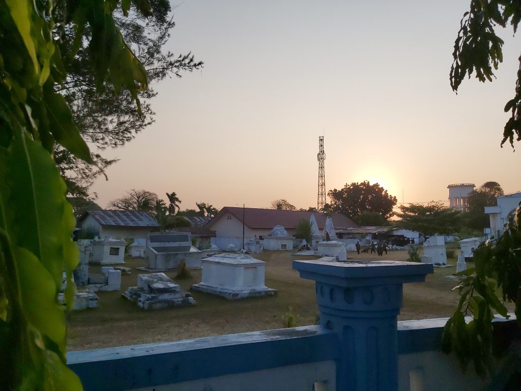
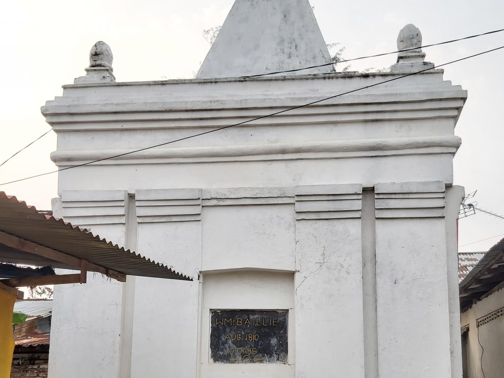
Grave of W.M. Baillie aug 1810, possibly related, granddaughter/son of Henry Lewis?
History of Bengkulu
Bengkulu is a town on the westcoast in the south of Sumatra. The British East India Company founded Bengkulu (named Bencoolen by the British), in 1685, as their new commercial centre for the region. In the 17th century, the British East India Company controlled the spice trade in the Lampung region of southern Sumatra from a port in Banten, in the north west of the neighbouring island of Java. In 1682, a troop of the Dutch East India Company attacked Banten. The local crown prince submitted to the Dutch, who then recognised him as Sultan. The Dutch expelled all other Europeans present in Banten, leading the British to establish Bengkulu. In 1714, the British built Fort Marlborough at Bengkulu.
The trading centre was never financially viable, because of its remoteness and the difficulty in procuring pepper. Despite these difficulties, the British persisted, maintaining a presence there for over a century, ceding it to the Dutch as part of the Anglo-Dutch Treaty of 1824 to focus their attention on Malacca. The region lies just above sea level and has many swamps. In the mid 19th century, malaria and related diseases were common and there is still a risk for these diseases. Bengkulu lies near the Sunda Fault and is prone to many earthquakes and tsunamis.
Rafflesia (corpse flower)
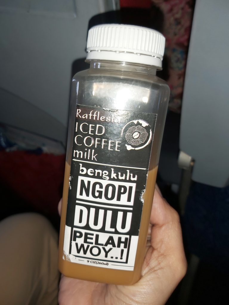
Rafflesia is one of the biggest flowers in the world. It’s a genus of parasitic flowering plants and was found in the Indonesian rainforest in Bengkulu, Sumatra by an Indonesian guide. He was working for Joseph Arnold in 1818. The flower was named after Sir Stamford Raffles, the leader of the expedition. The flower looks and smells like rotting flesh, hence its local names which translate to “corpse flower” or “meat flower”. This flower is used as decoration in a lot of buildings in Bengkulu and there is even a drink brand named after it.
Raffles flower in fence Raffles flower statue Bengkulu (view from fort Marlborough)
More history of Bengkulu
The city became the exile of Sukarno during the period of 1939 – 1942. Sukarno (later the first president of Indonesia) was imprisoned by the Dutch in the 1930s, including a brief period in Bengkulu. He met his future wife, Fatmawati, during his time in Bengkulu. The airport is named after her.
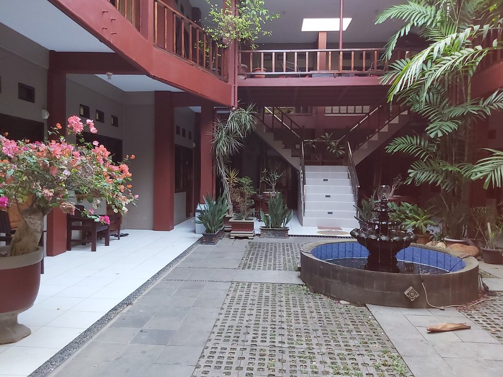
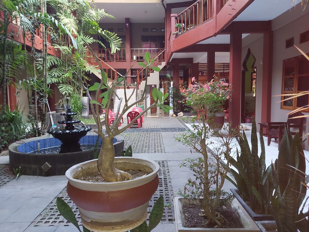
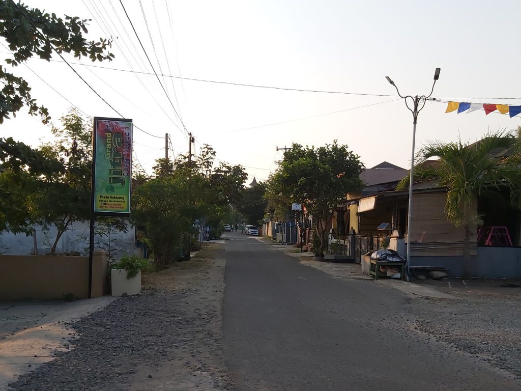
The hotel where I was staying
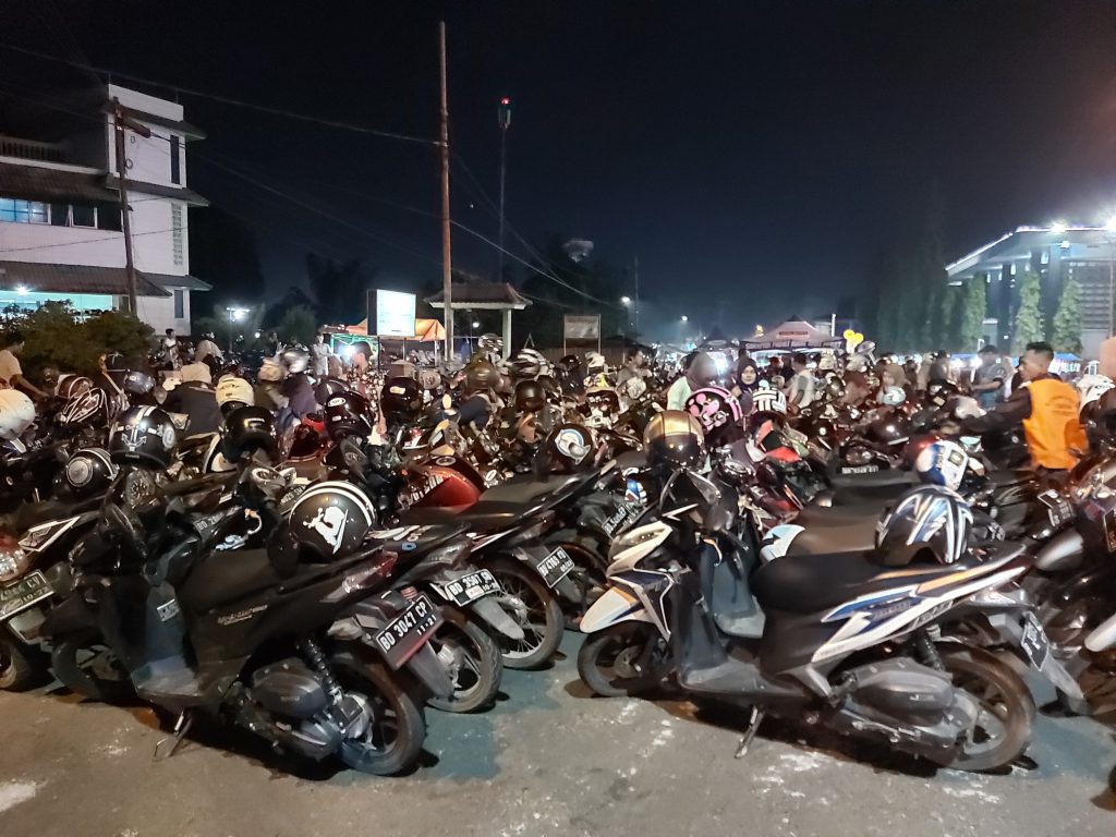
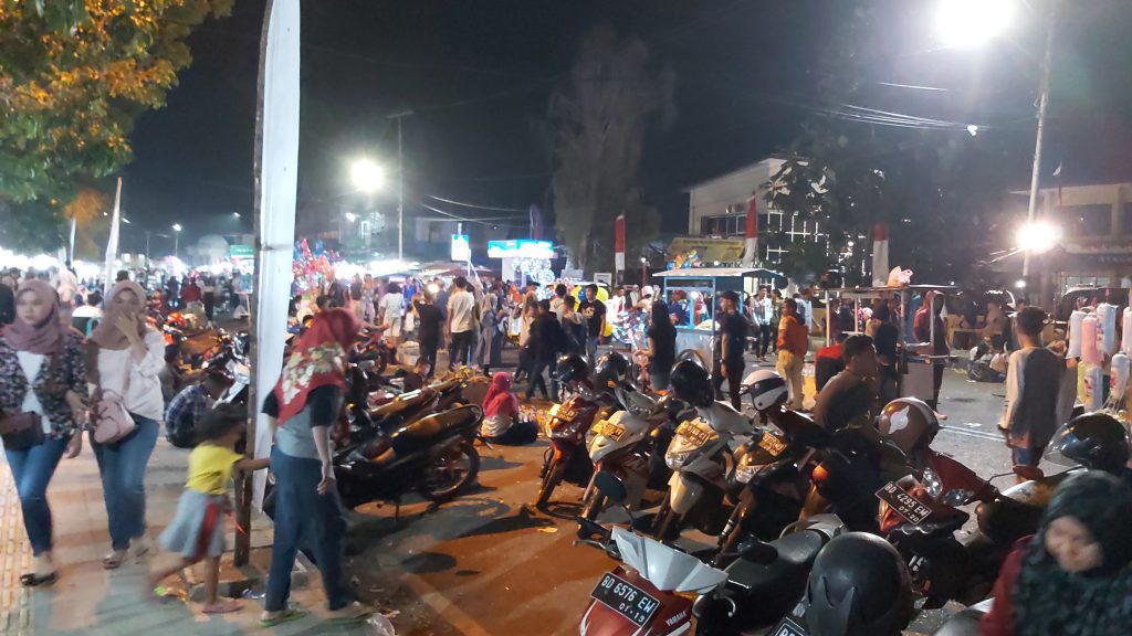
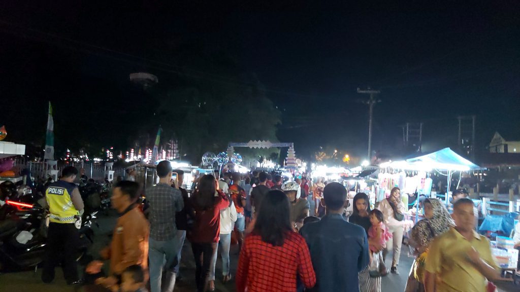
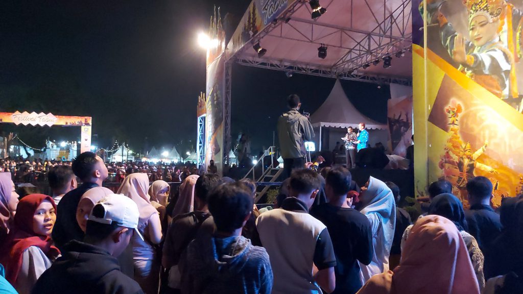
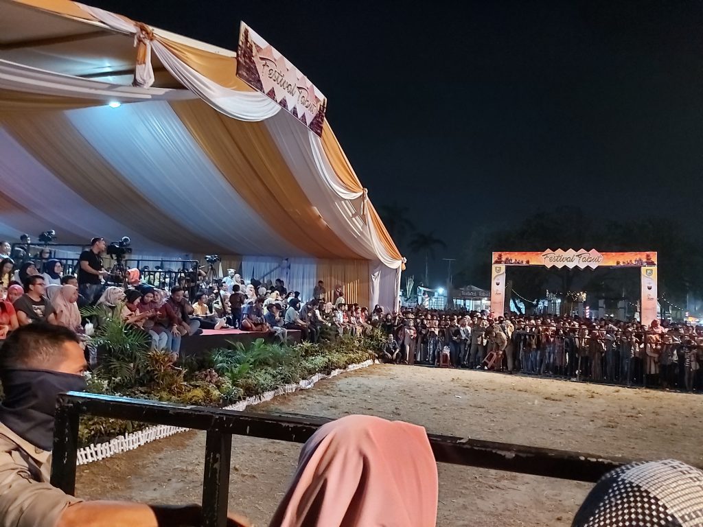
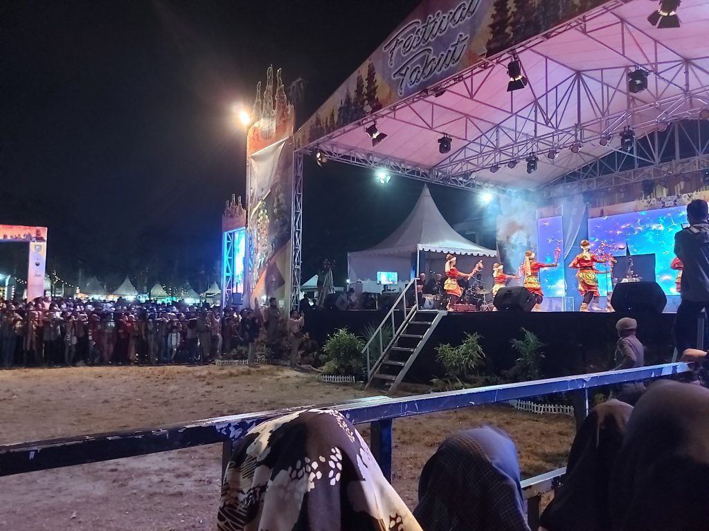
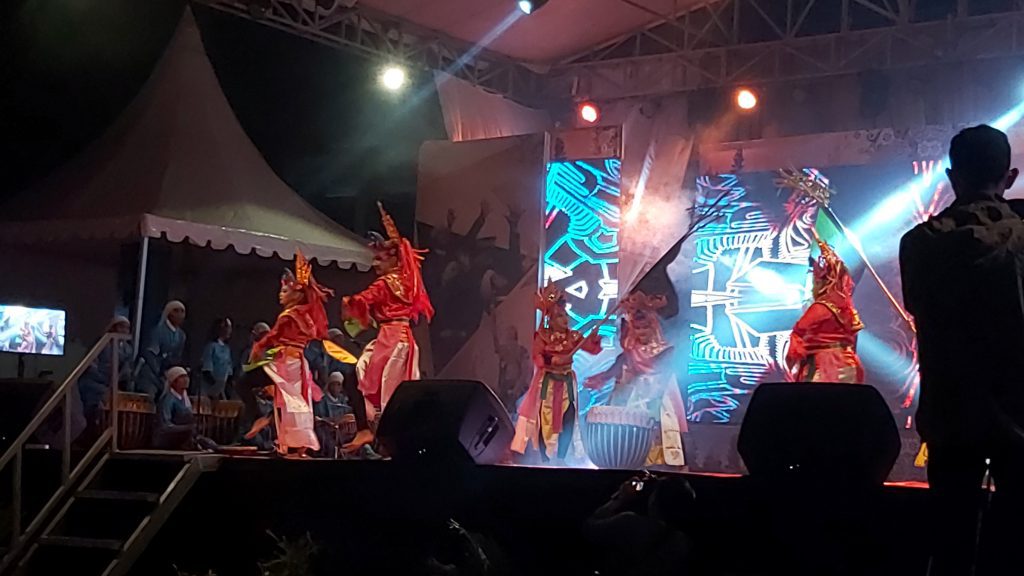
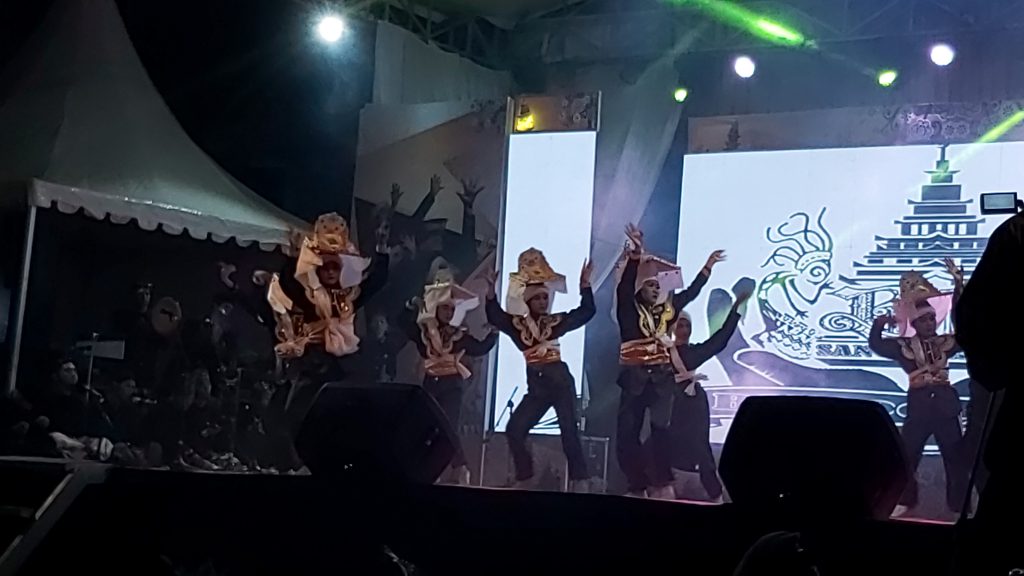
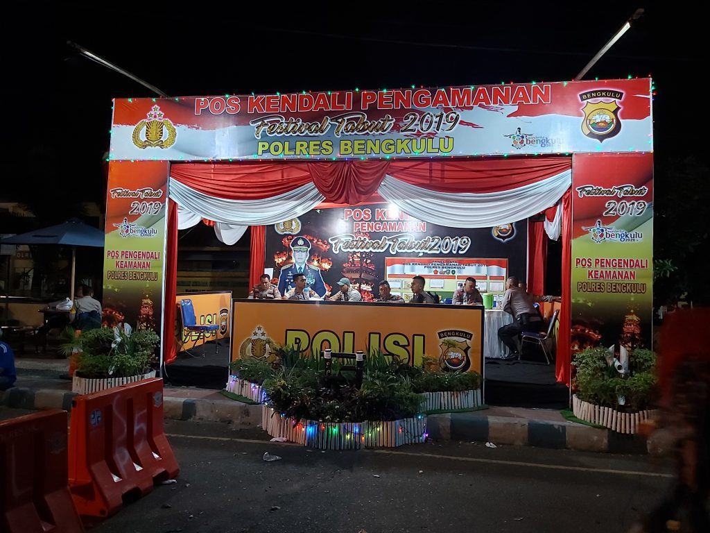
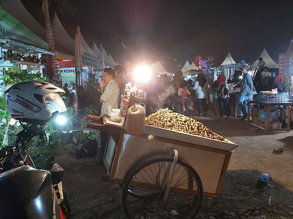
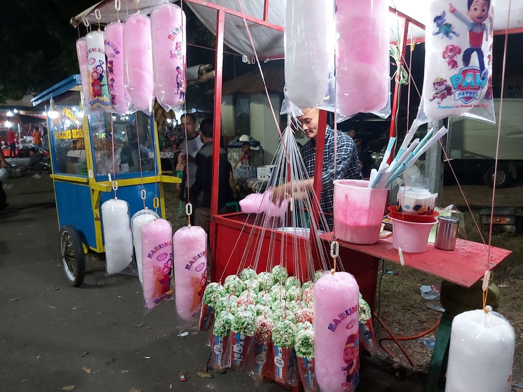
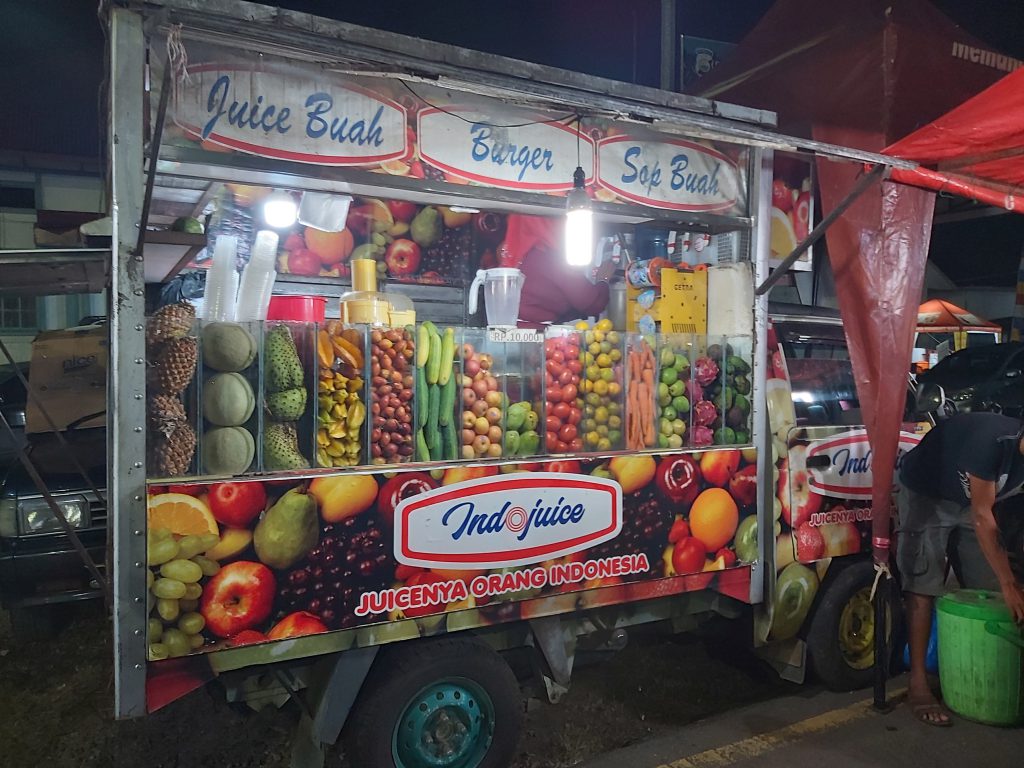
Tabut festival
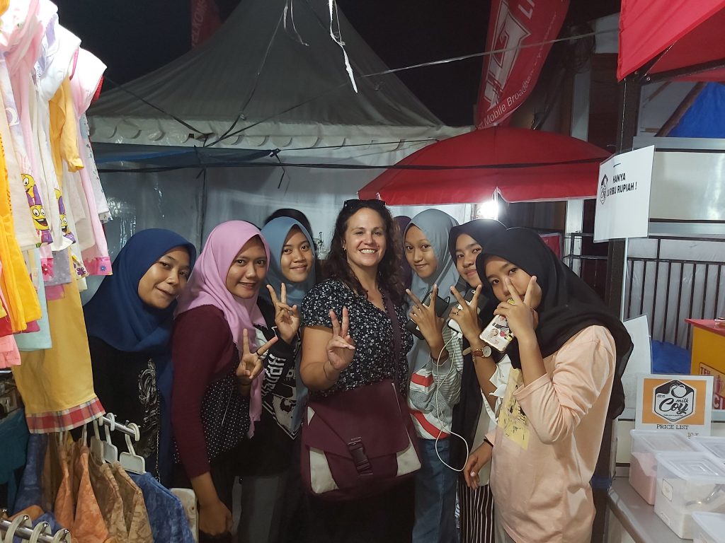
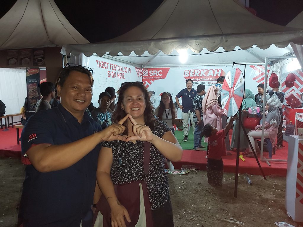
There’s an annual 10-days festival (Tabut) which is coincidencely while I’m here. People from the whole area are visiting and there are many stands, performances, music, lots of food and drinks.
the audience traditional dance and music
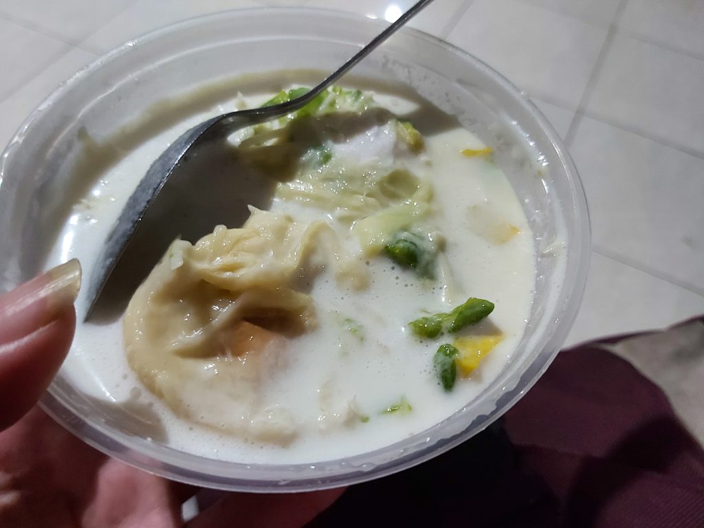
a doerian desert at a friends house
Yogyakarta
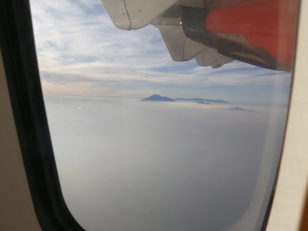
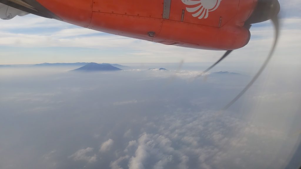
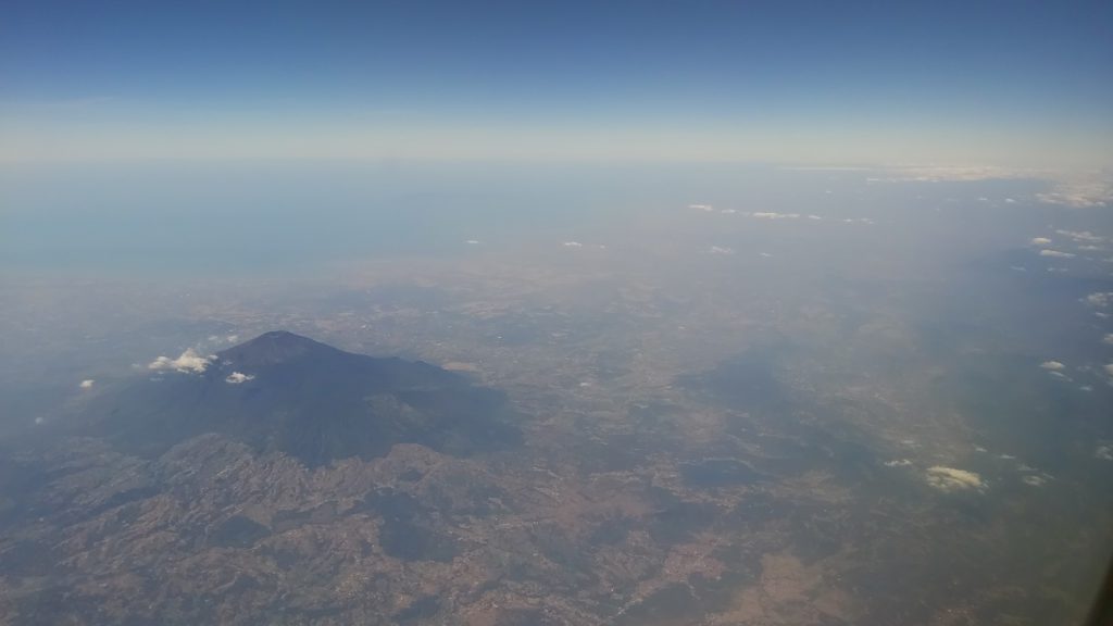
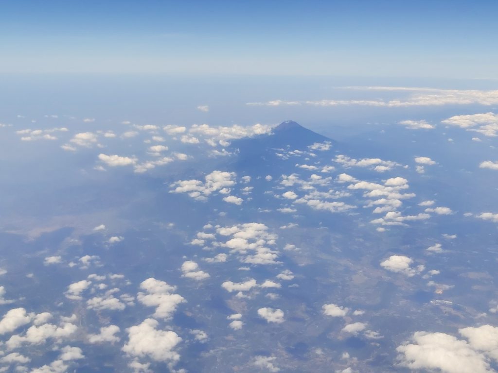
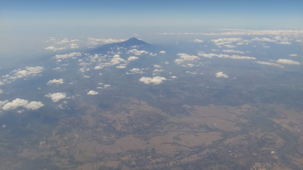
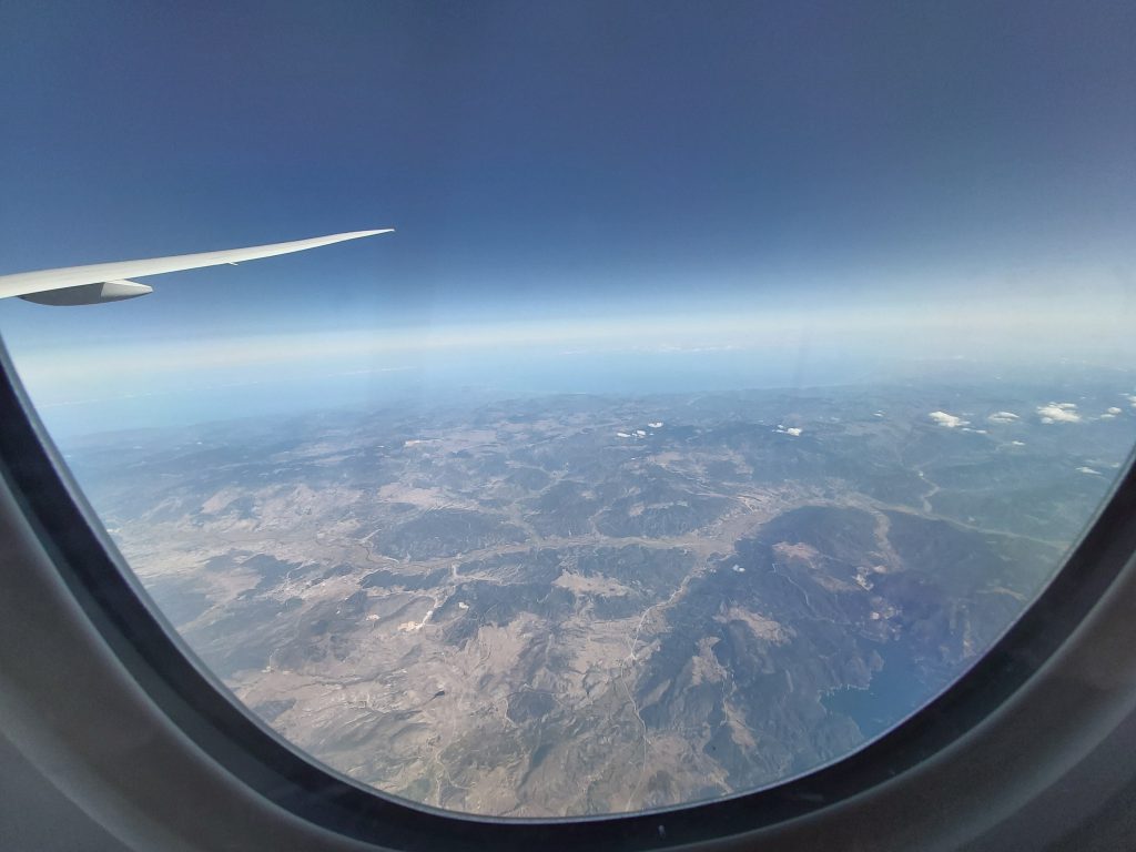
I went back to Yogyakarta (from Bengkulu) by plane. Along the way I had a beautiful view and saw amazing vulcano’s and Jogja from the sky. I also met a new friend on the plane, who was sitting next to me on my connection from Bengkulu to Jakarta (from there I took a connecting plane to Jogja).
On the plane from Bengkulu to Jakarta On the plane form Jakarta to Jogja
beautifull mountains and vulcano’s
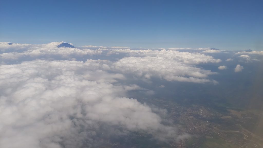
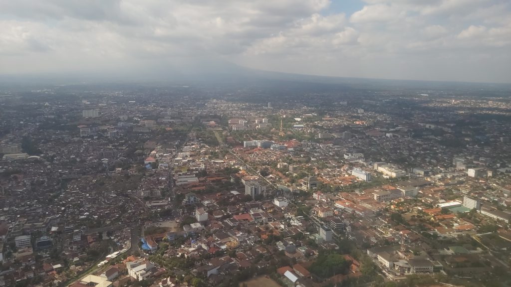
Yogyakarta form the airplane
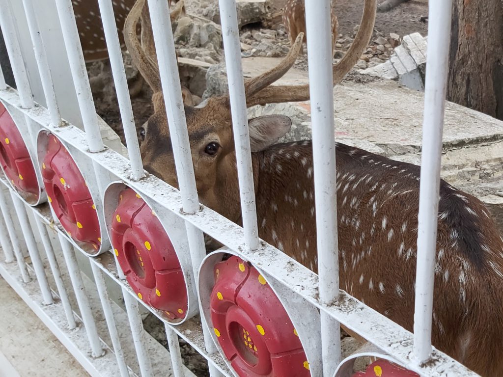
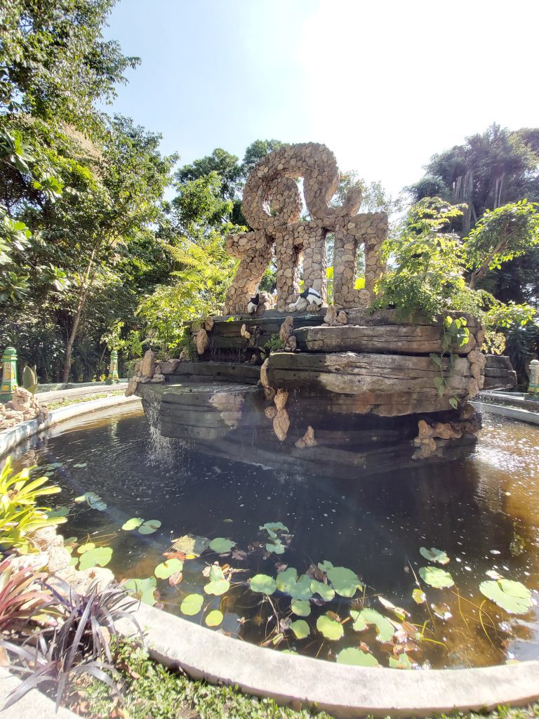
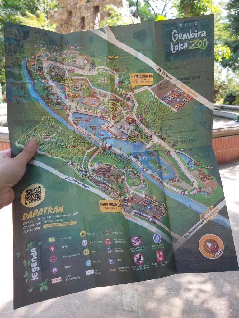
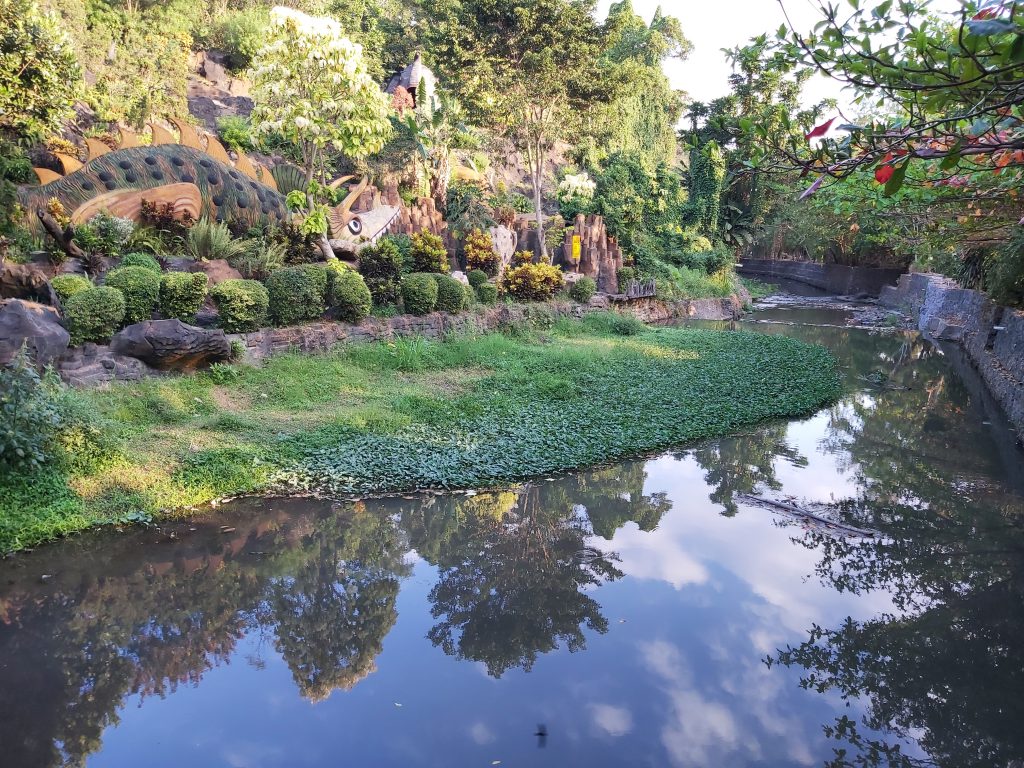
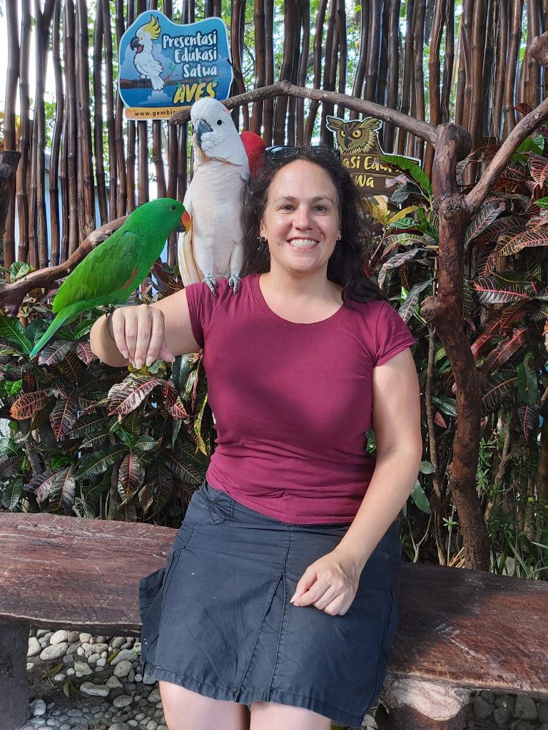
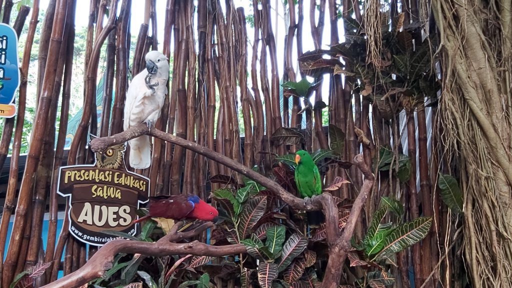
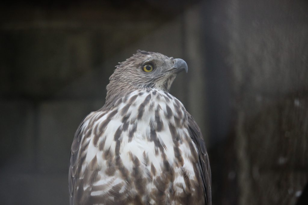
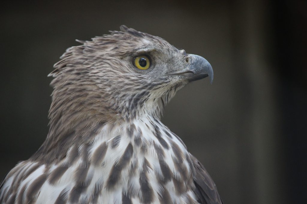
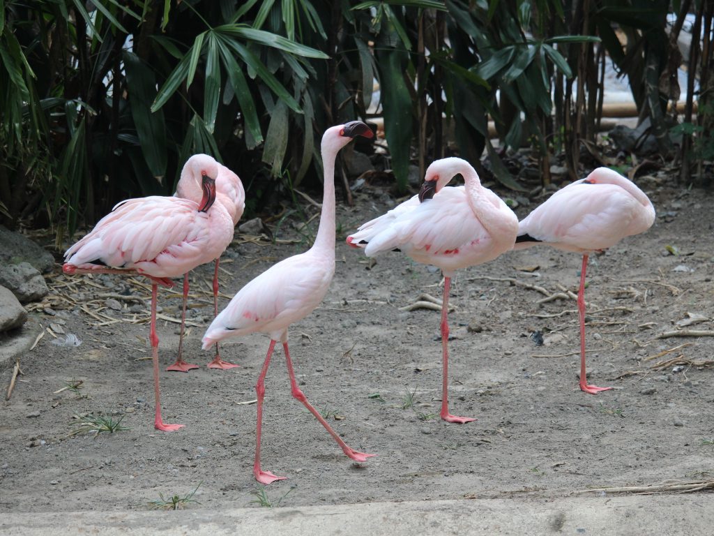
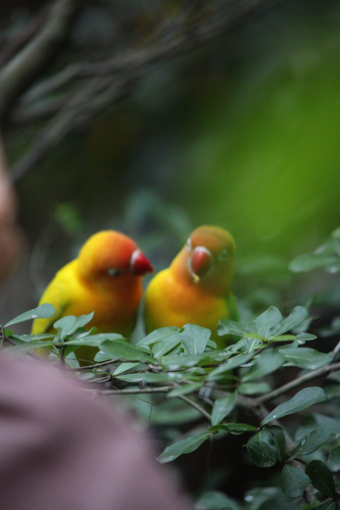
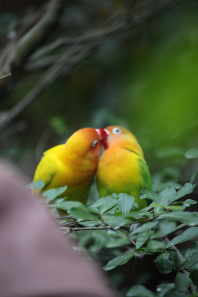
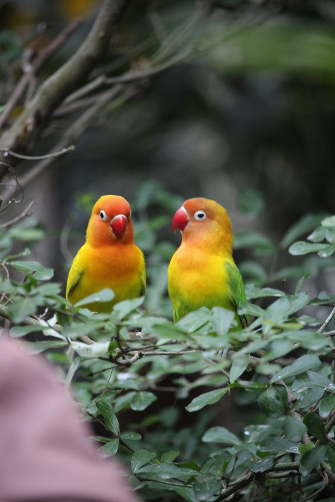
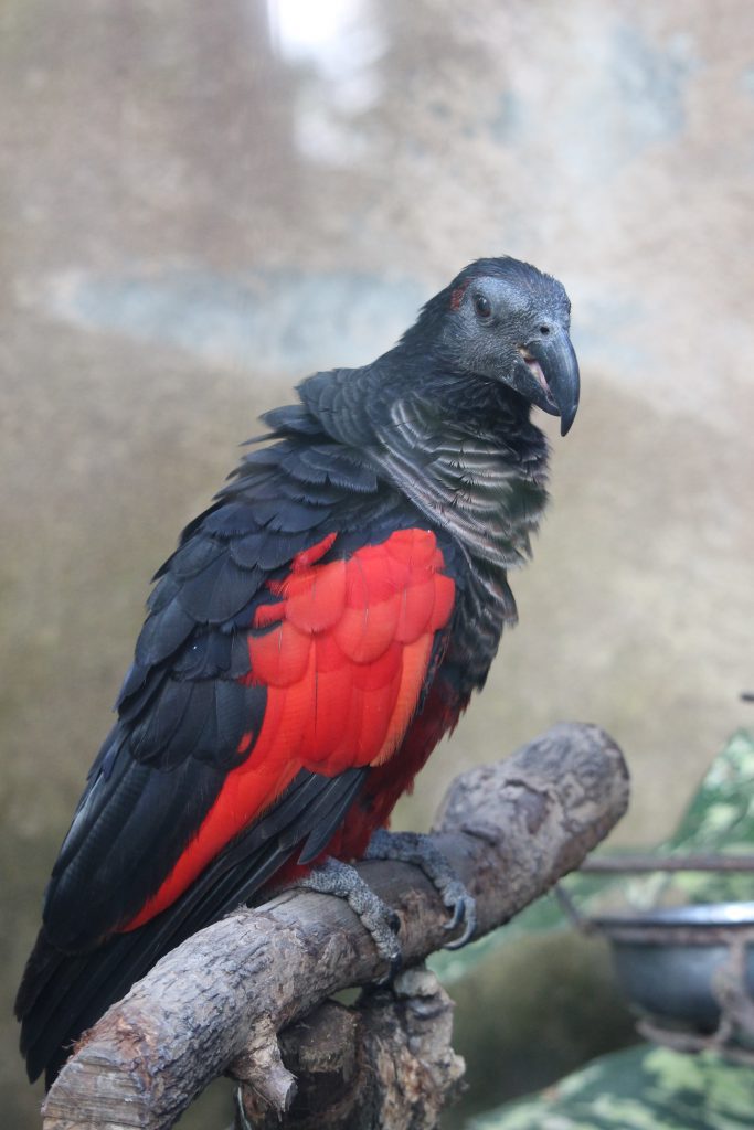
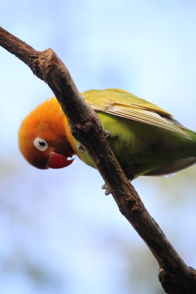
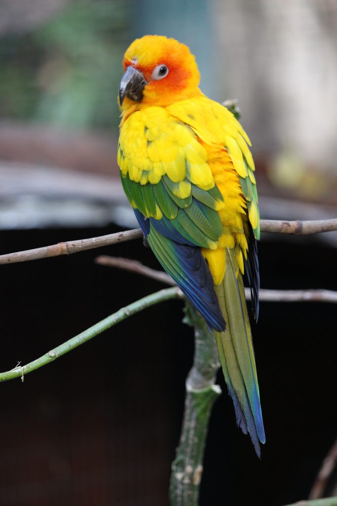
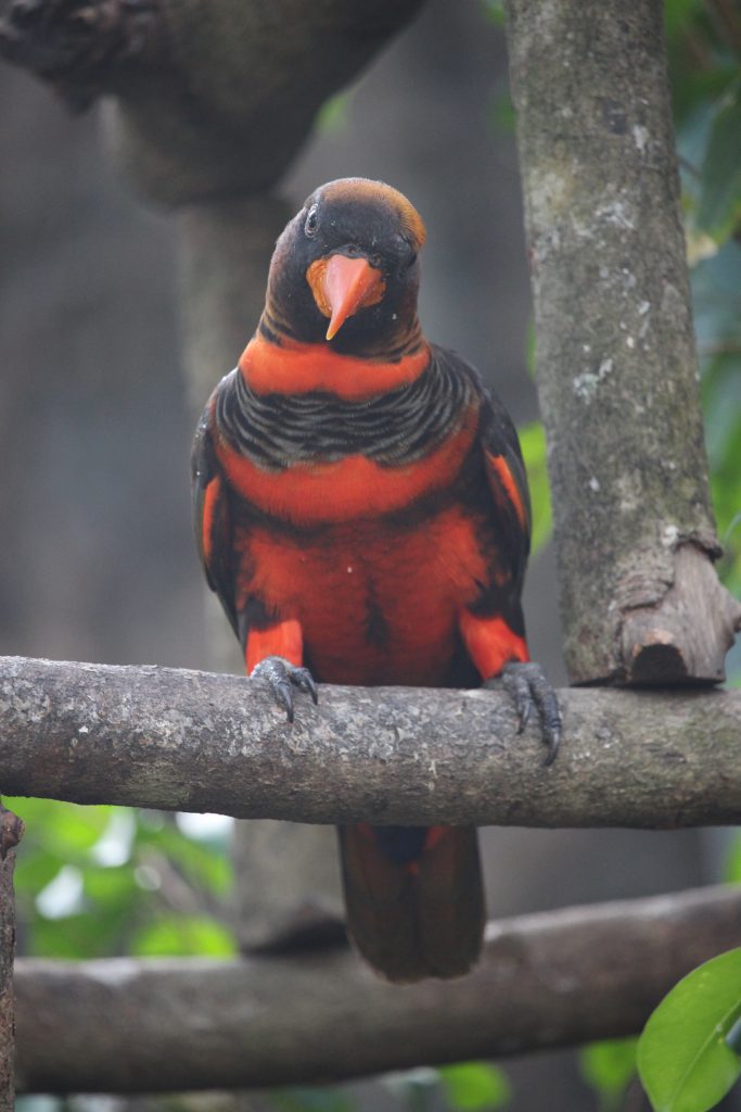
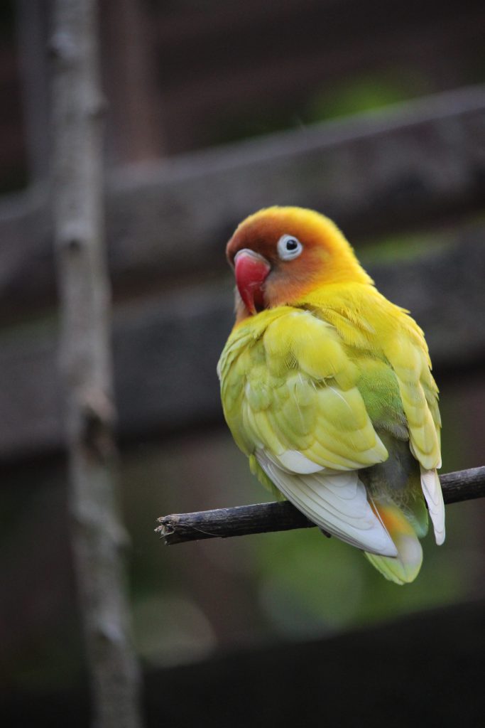
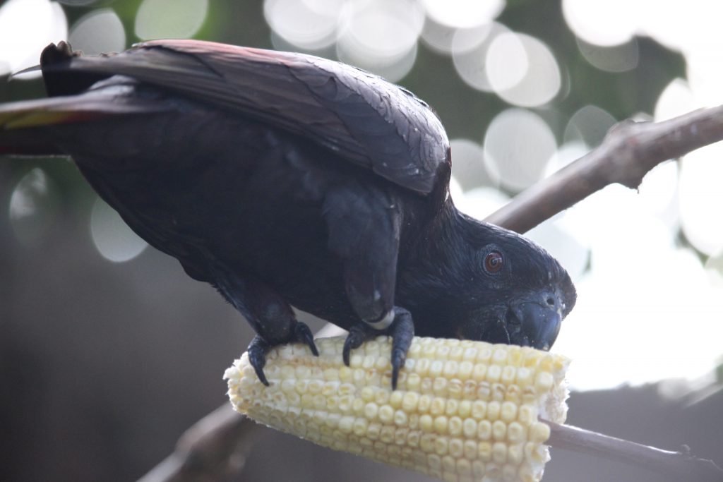
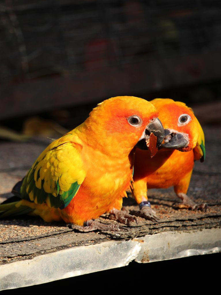
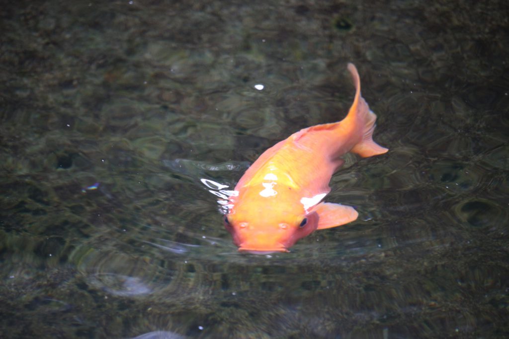
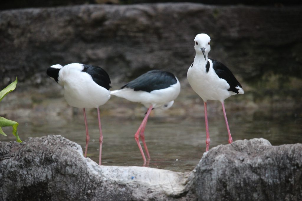
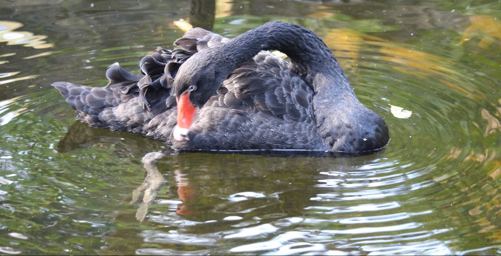
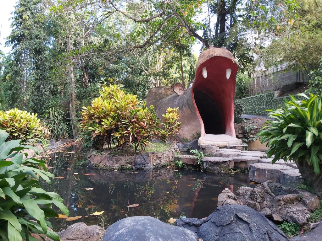
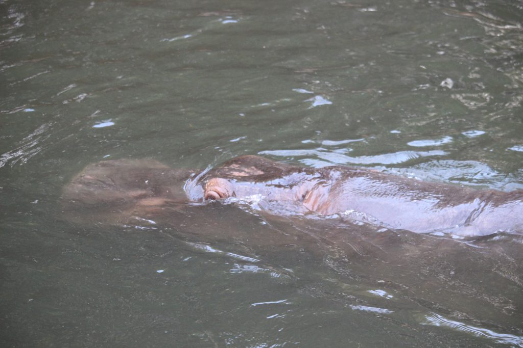
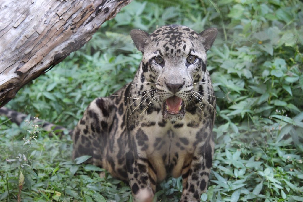
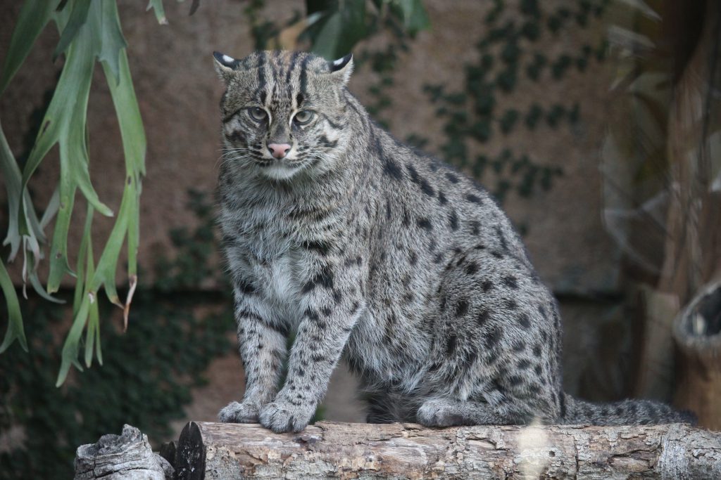
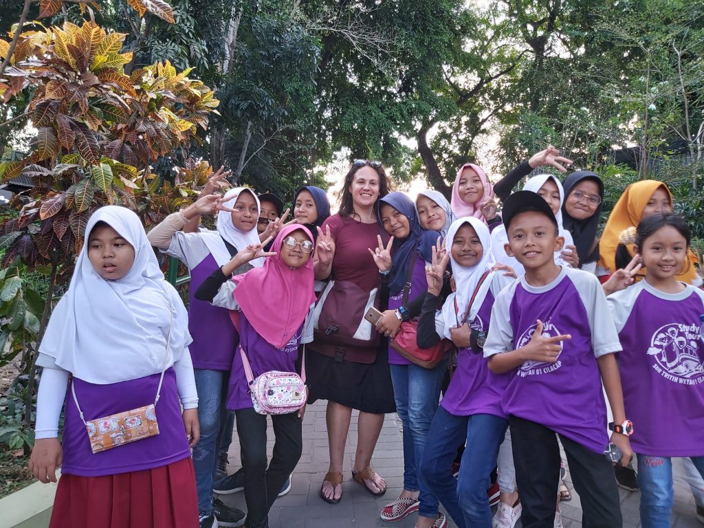
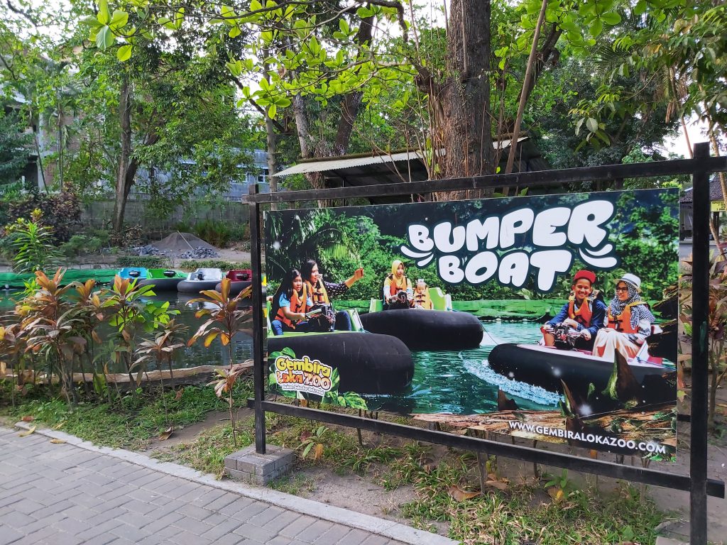
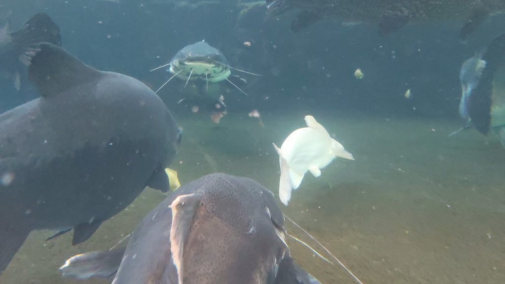
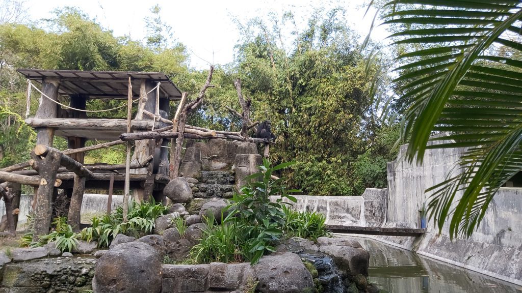
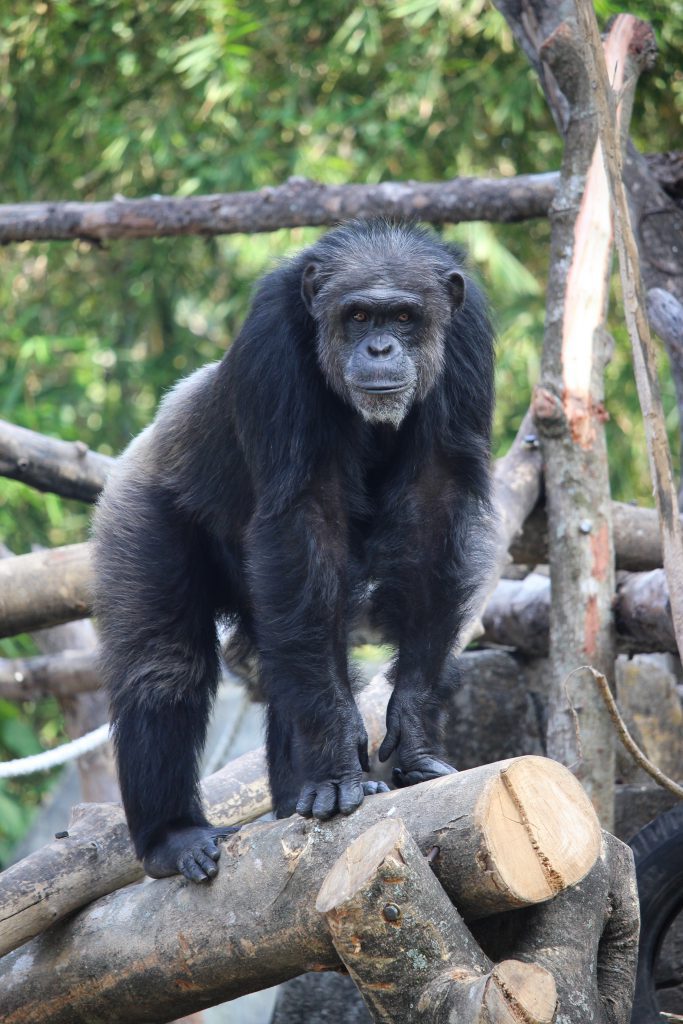
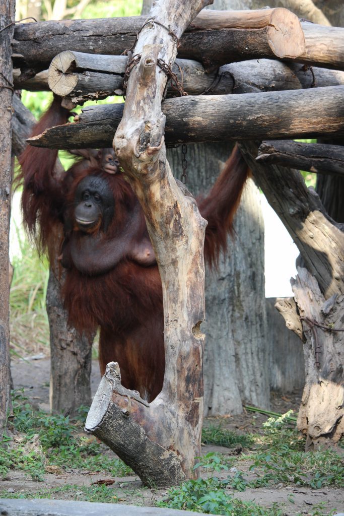
The zoo
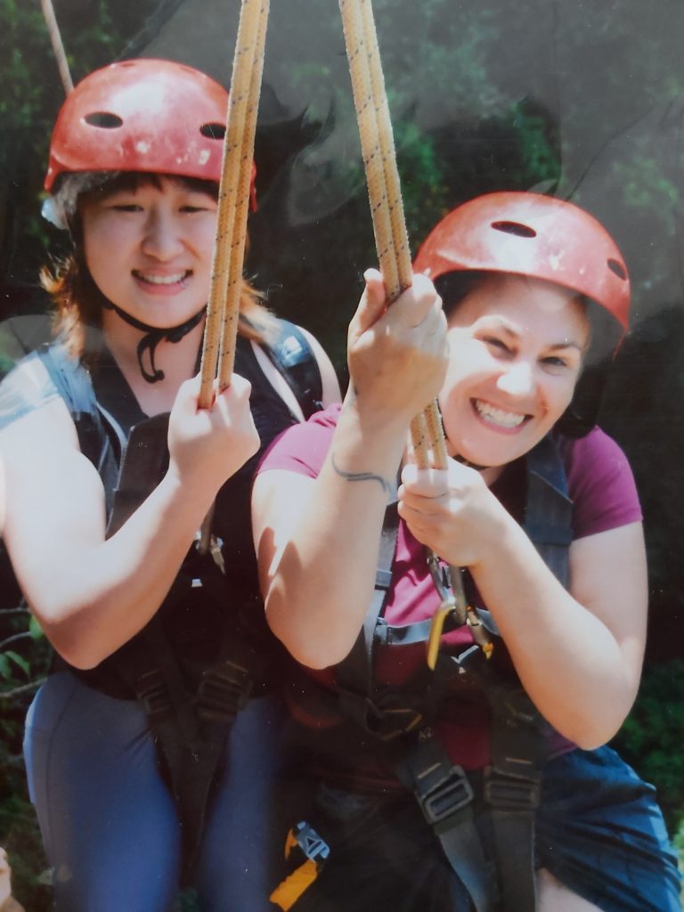
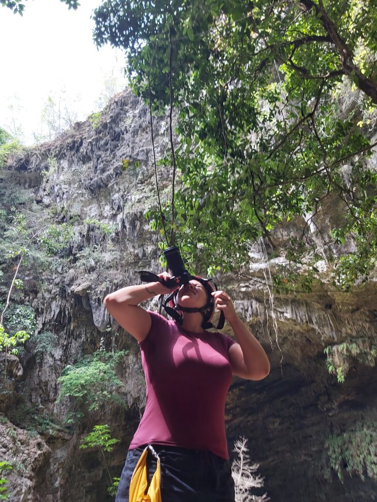
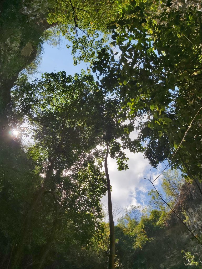
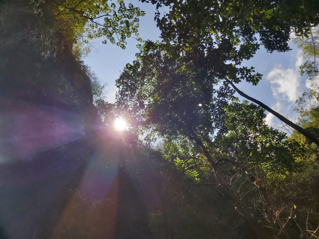
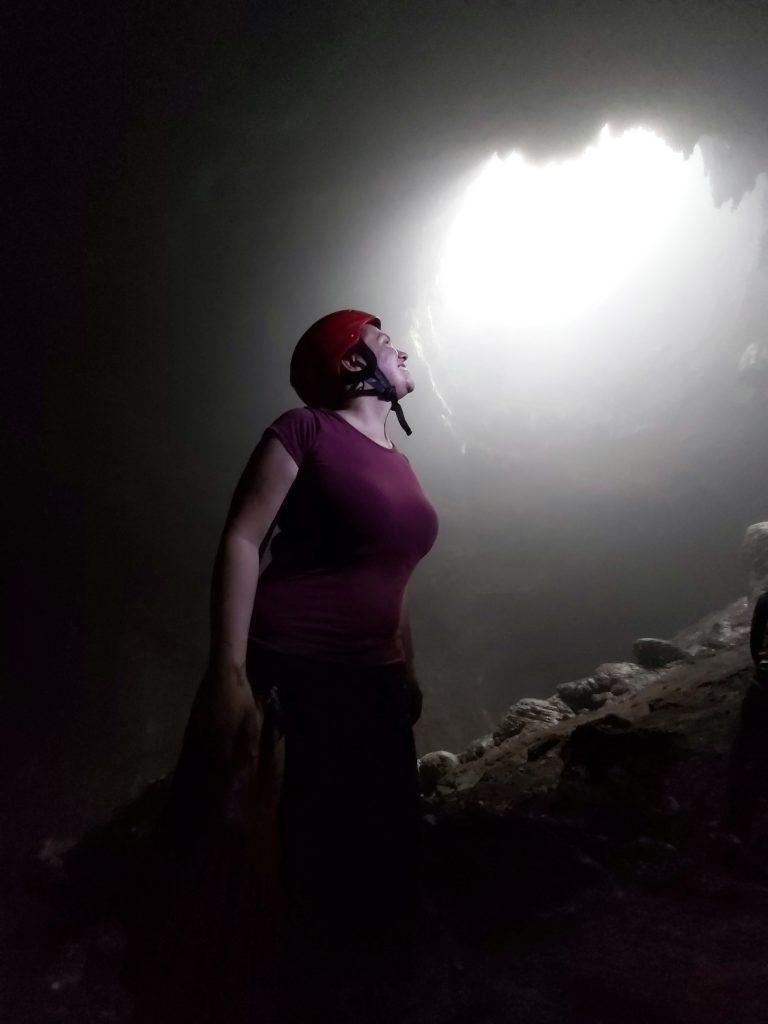
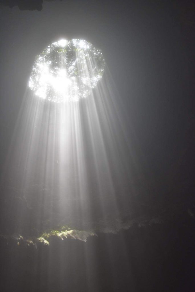
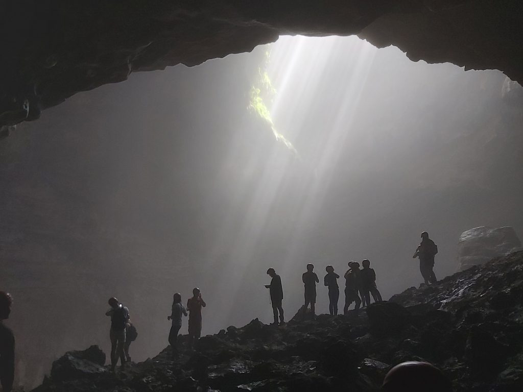
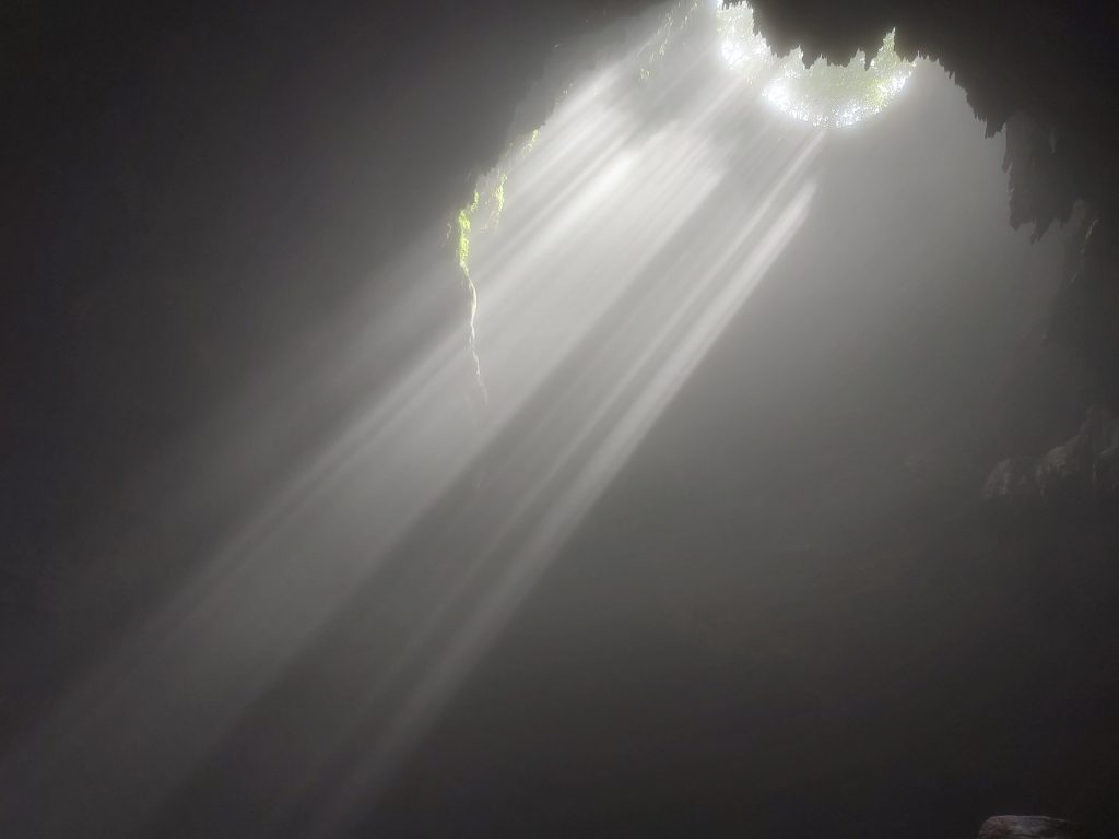
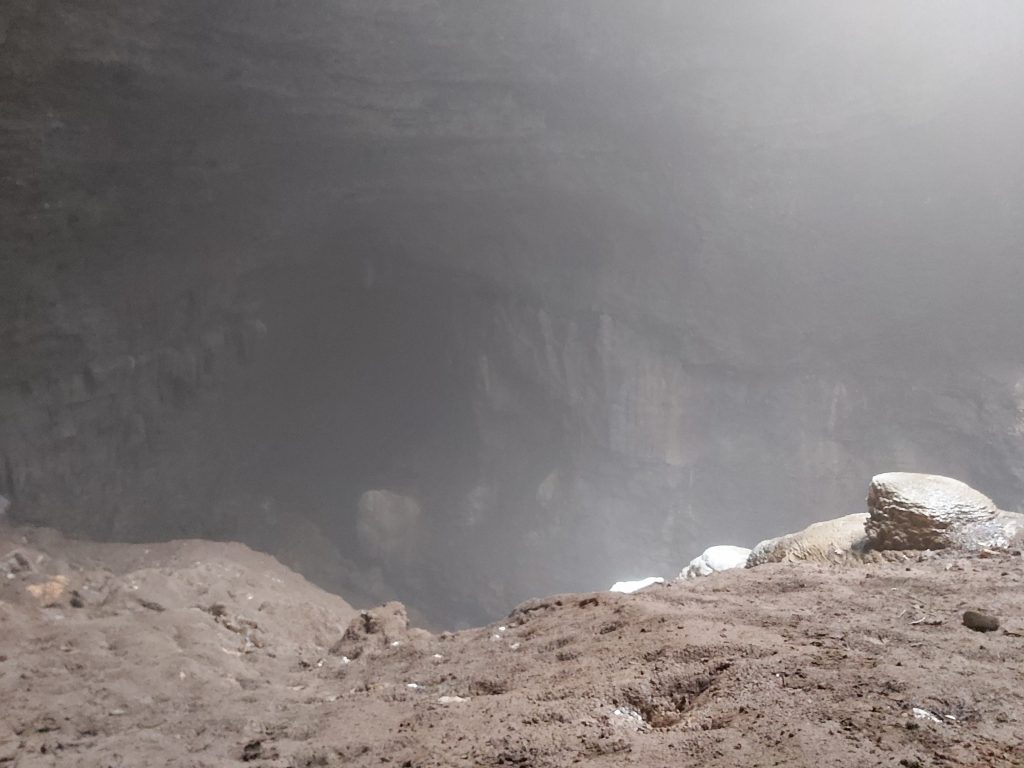
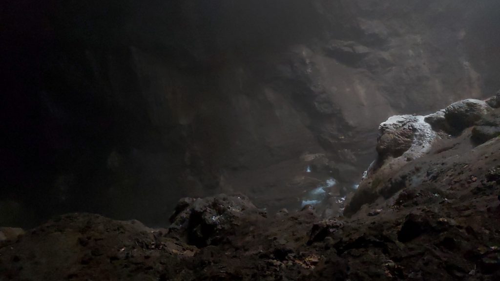
Jomblang cave
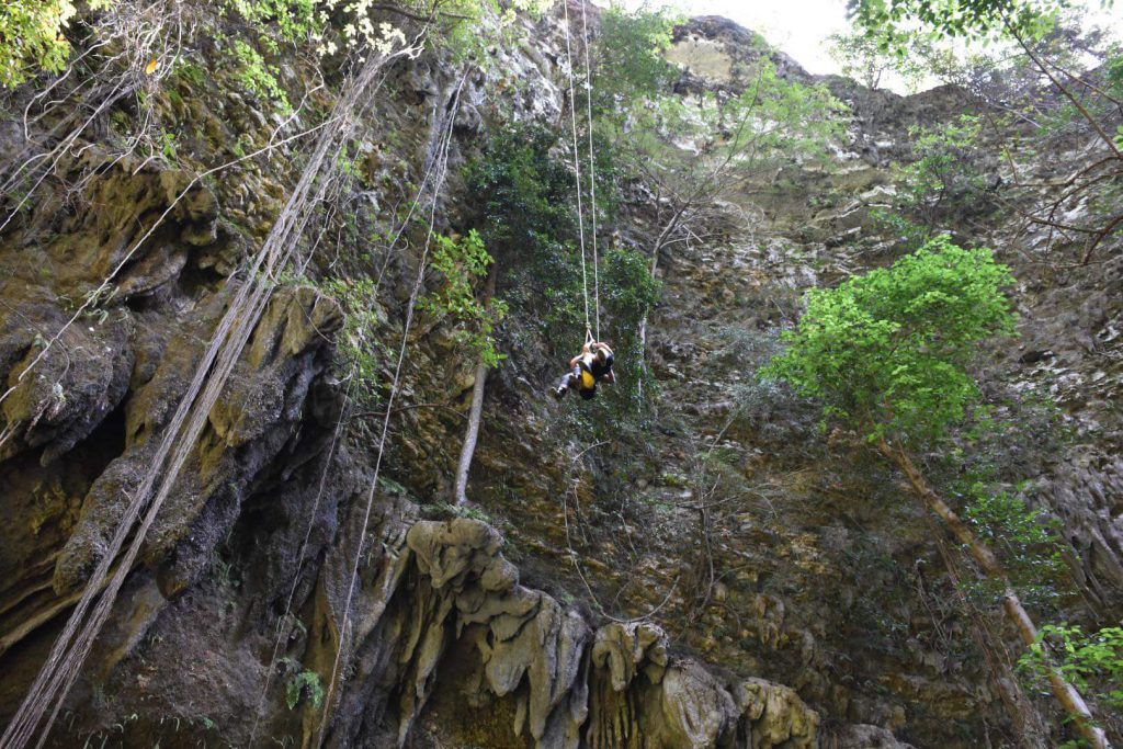
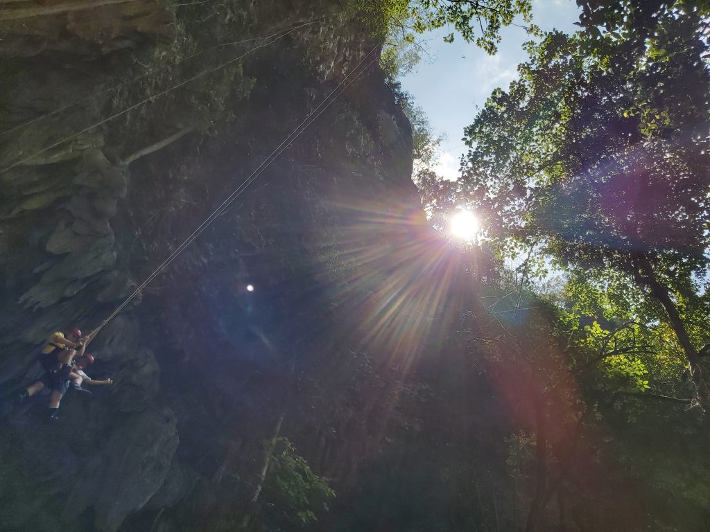
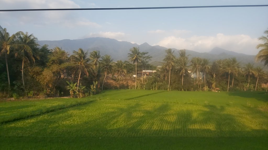
The Jomblang cave is in a village near Gunung kidul, south of Yogyakarta. This vertical cave is formed due to a geological process of land subsidence and its vegetation above it to the base of the earth, that occurred thousands of years ago. This collapse formed a sinkhole or a deep well known in the Java language with the term “luweng”. It’s 60 meters deep and you need special equipment to enter the cave. You can rent a private car to get there. This trip is only one time per day, to be able to see the sunlight shining into the cave which is often called “the light of heaven”.

After visiting this cave I took the train from Yokyakarta to Bandung. I met some nice people on the train who also gave me some Indonesian fruit to taste.
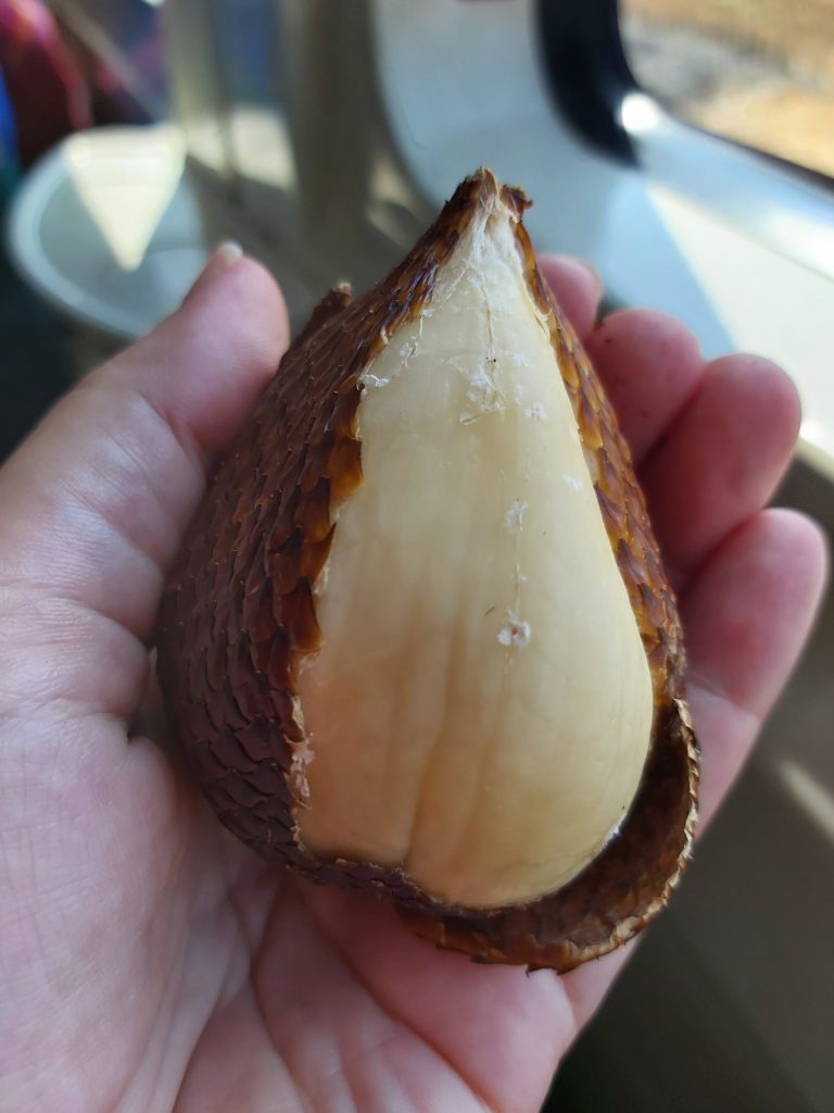
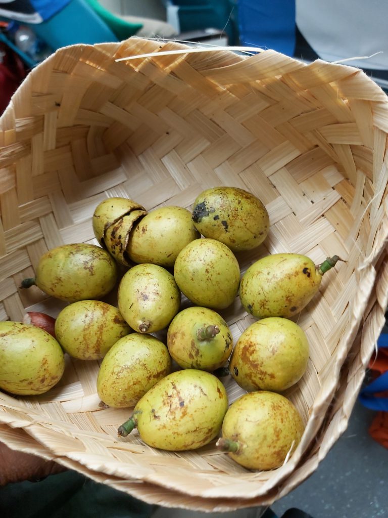
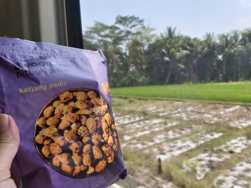
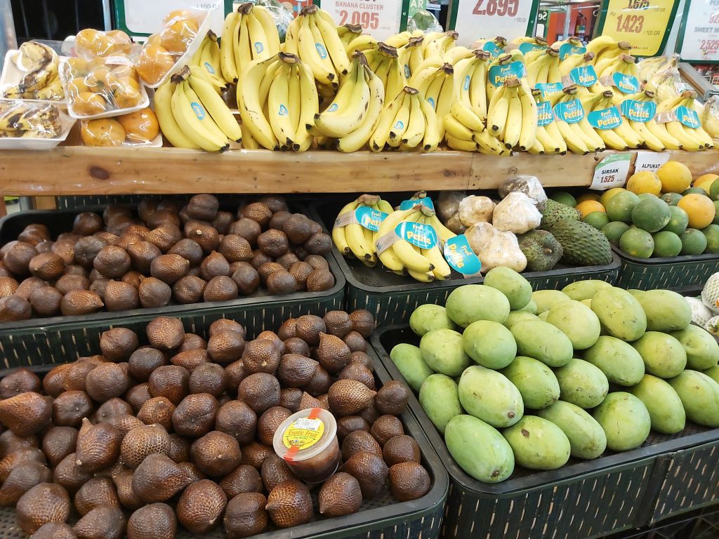
Salak (Dragon fruit) Kedondong My favorite Indonesian nuts from the Netherlands
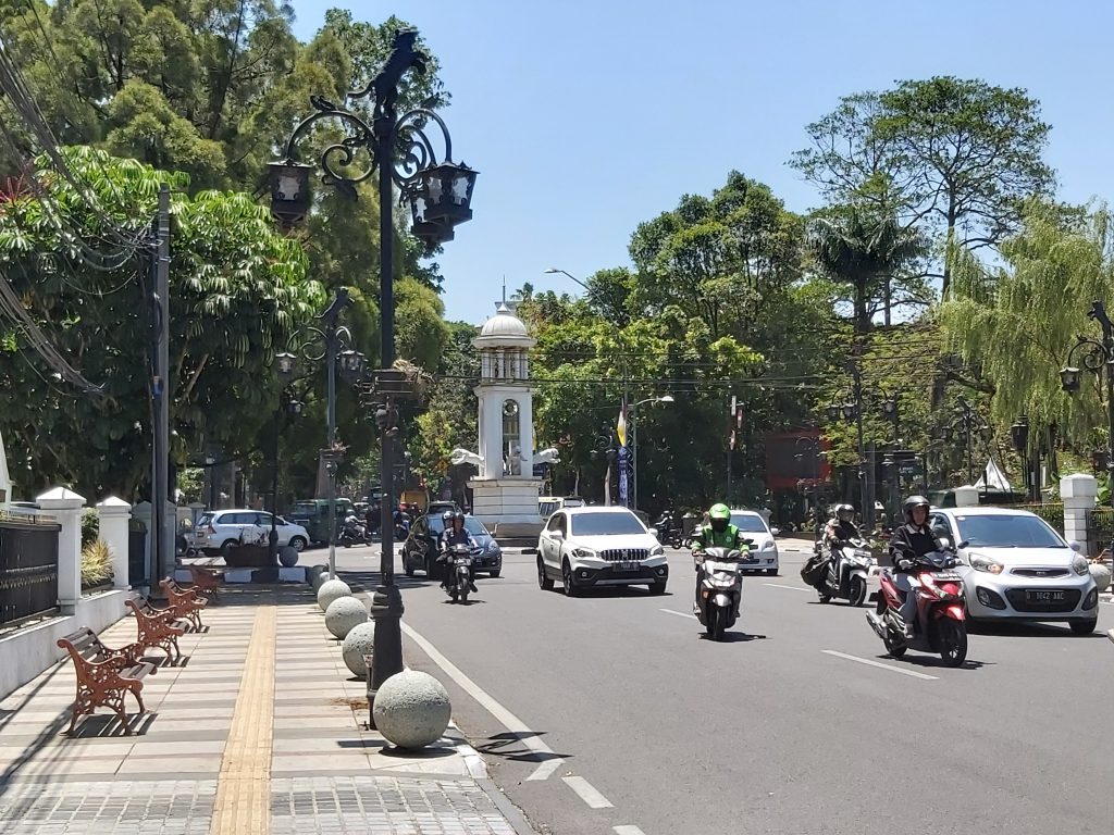
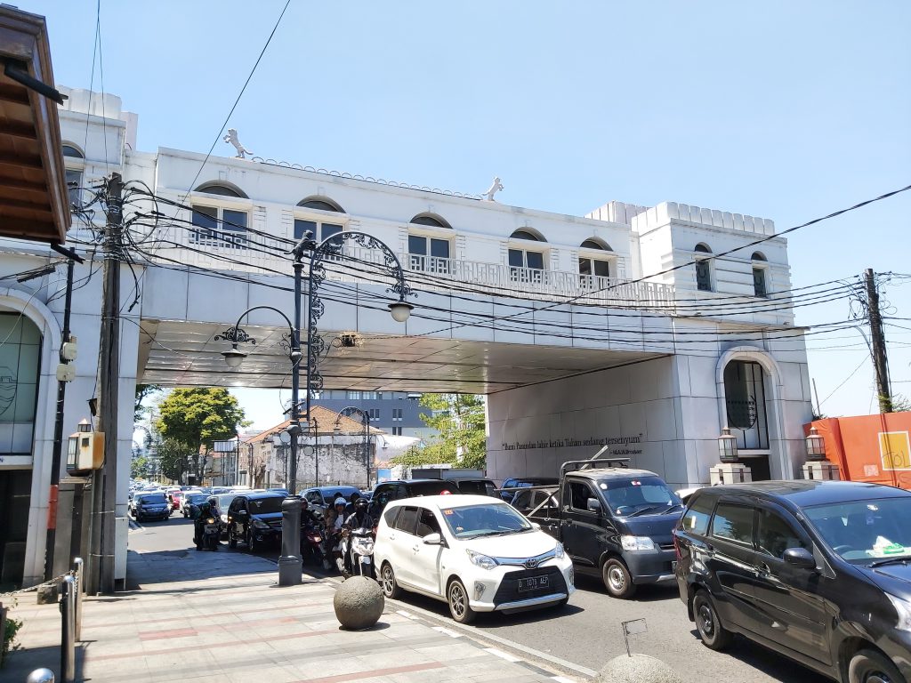
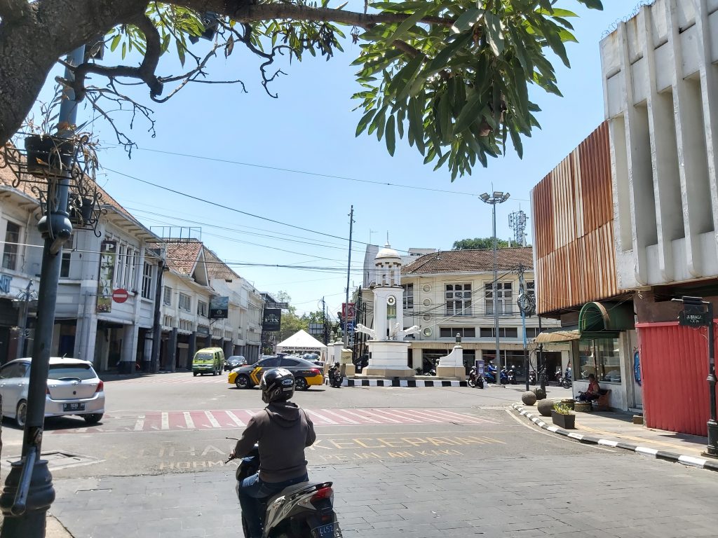
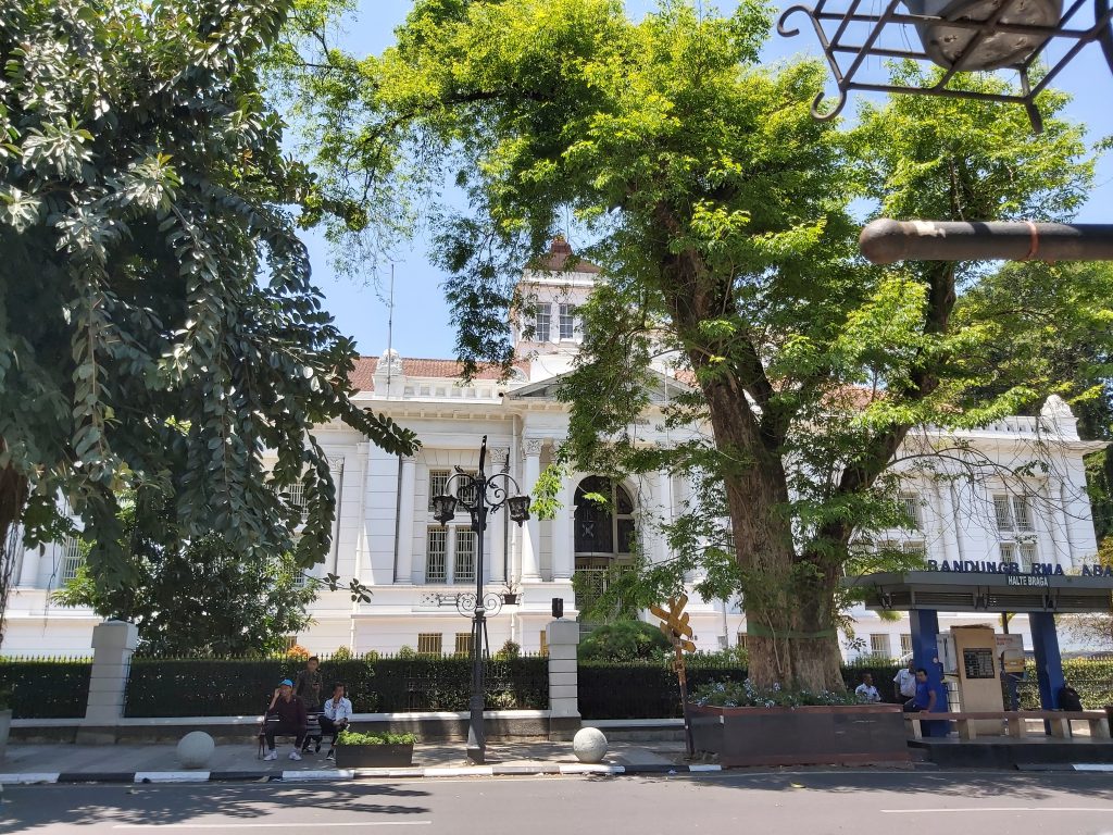
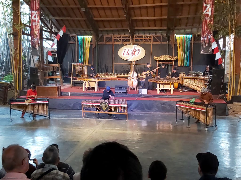
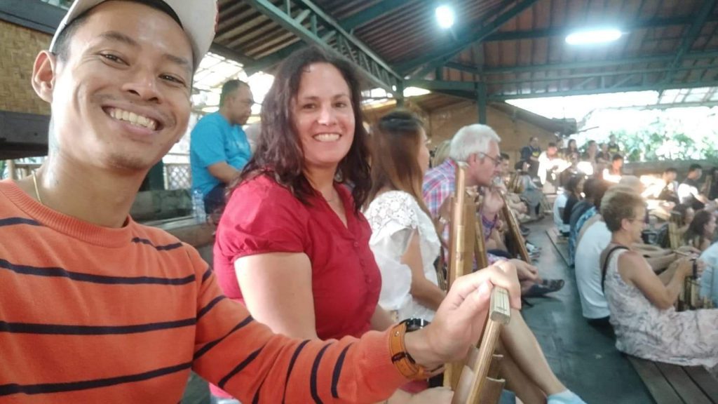
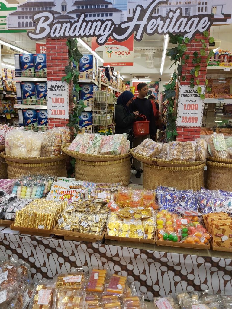
Bandung
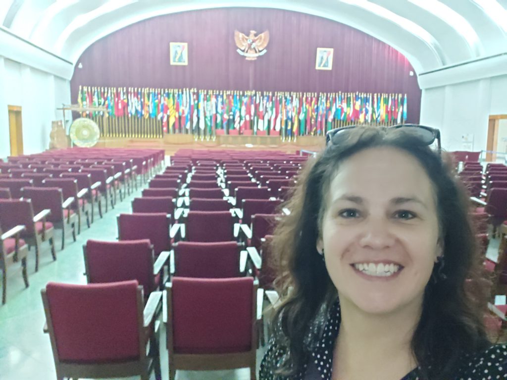
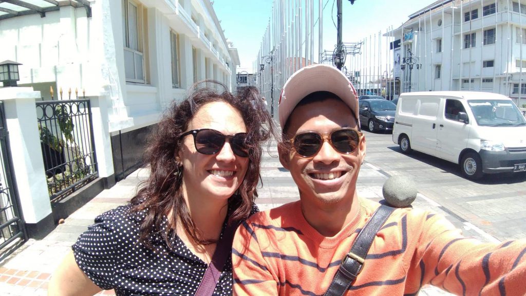
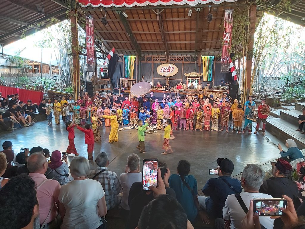
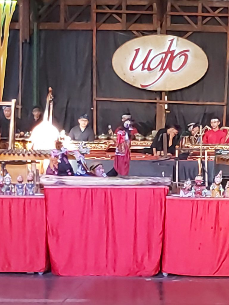
In Bandung I’ve visited my good friend Efan and we went to see the Asian African street (called ‘De grote postweg’ before) and the museum Konferensi Asia Afrika. We also went to see a show with children who lost their parents and now perform traditional dances and music. Unfortunately I didn’t have enough time to see Kawah Putih, the tea fields and other nice places in the area.
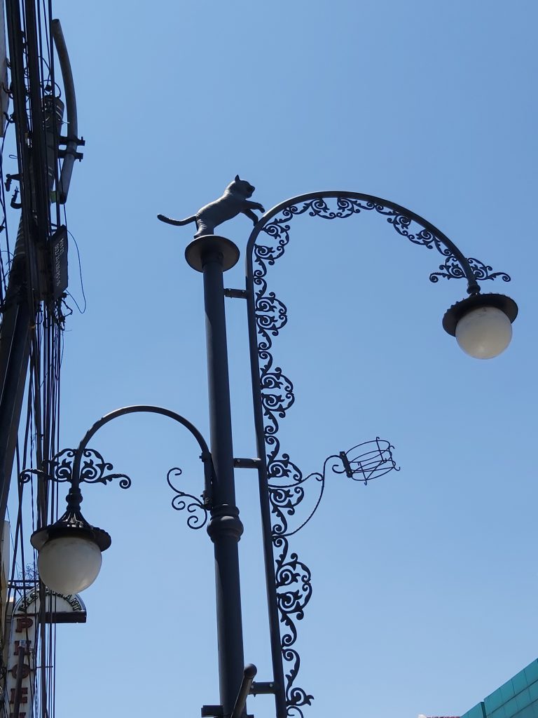
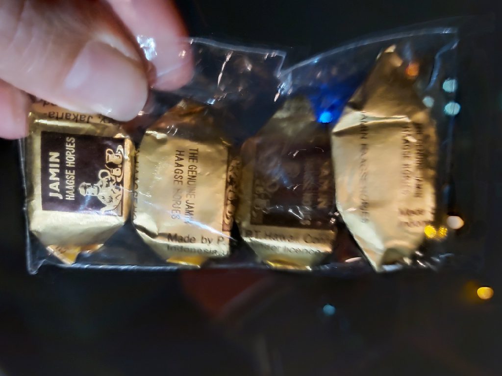
A beautiful lamppost Bank of Indonesia A beautiful house in Bandung At the conference hall They sell candy (Haagse hopjes) from my dutch birthcity in Bandung
Children performing dance an music with an anklung
Dragon fruit Haagse hopjes and chocolate Sinterklaas money for sale
This year I also haven’t been able to see everything I wanted to see, like Ijen, Bromo, Salatiga, Kediri, Surabaya, Malang, Bali, Lombok and there are also a lot more other places I want to see. So I will have to come back here again. I’m allready looking forward to my next trip here.
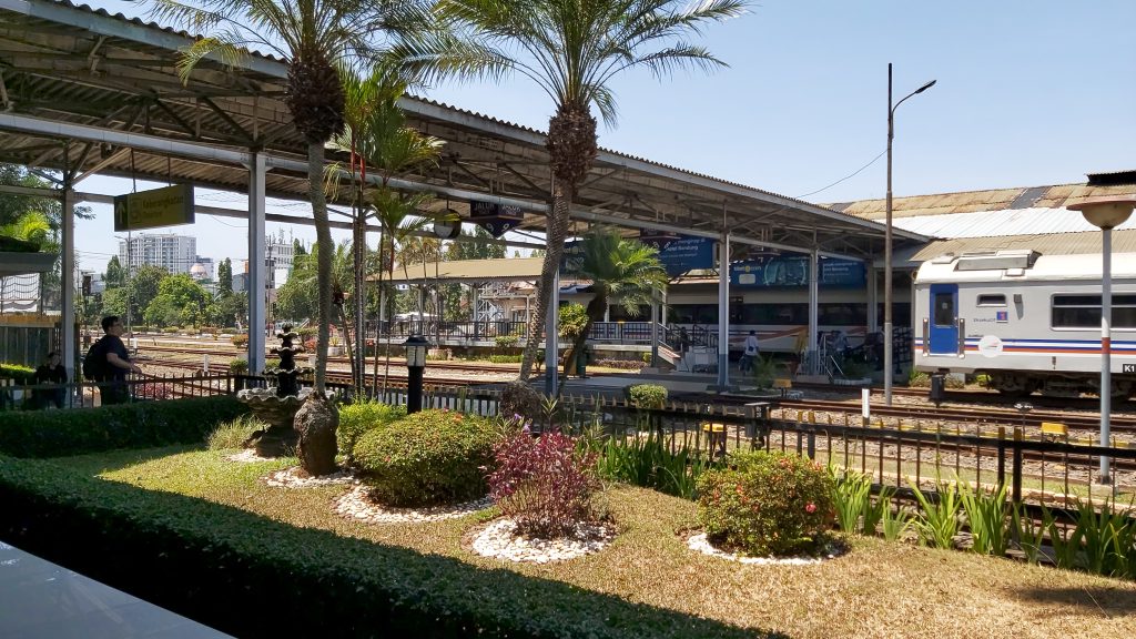
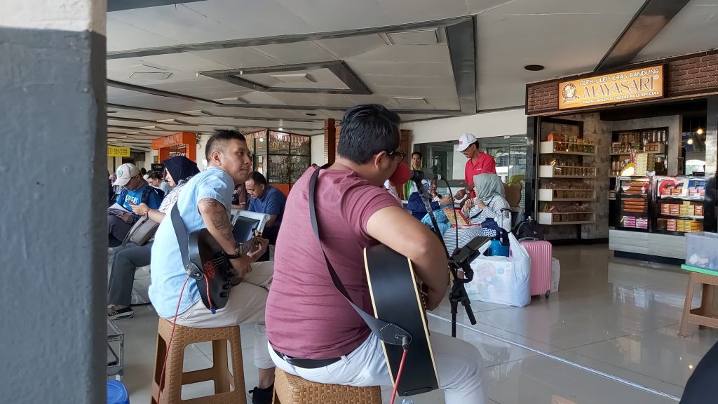
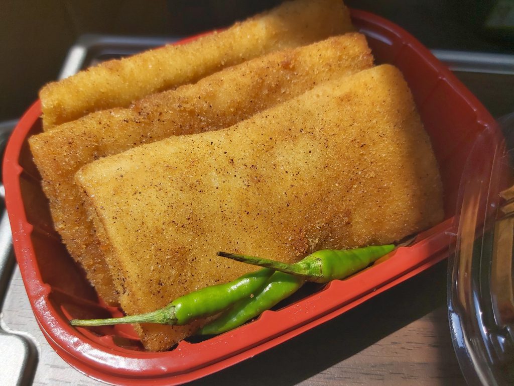
Bandung train station Music on the train station My favorite snack risoles
This is my second journey in August/September 2019. You can read my other two journeys by clicking on the link:
My first travelstory of October 2018
My third travelstory of November 2019
Note: These stories are written from my point of view, based on my experience while traveling here, stories from my family, talking to many people and some internet sources like Wikipedia and other pages.